6.3 km away
Johns Mountain and Keown Falls
A family-friendly hike with epic views and a beautiful waterfall.
Moderate Hiking
- Distance
- 7.5 km
- Ascent
- 319 m
- Descent
- 319 m
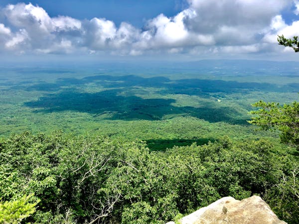
A series of rocky ridge traverses with excellent views—perfect for day hiking.
Hiking Difficult

This is arguably the most renowned portion of the 330-mile-long Pinhoti Trail. Popular day hikes are accessible from either trailhead, and the segment is perfect for a shuttled hike. Overnight camping options are also available along this segment, though there are no developed campgrounds.
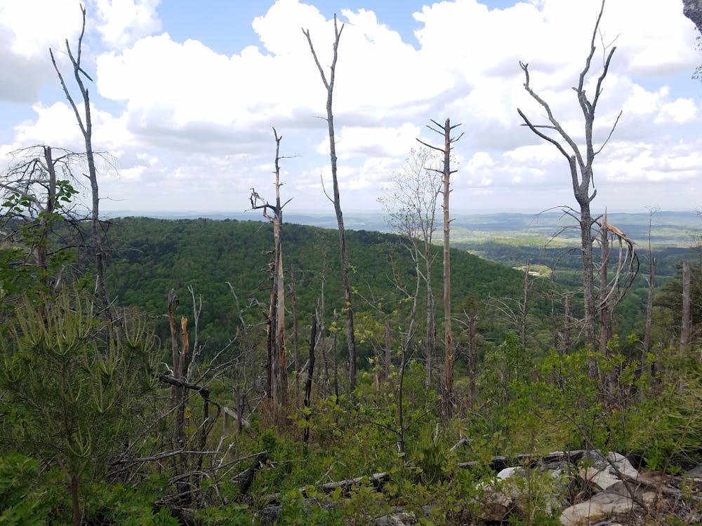
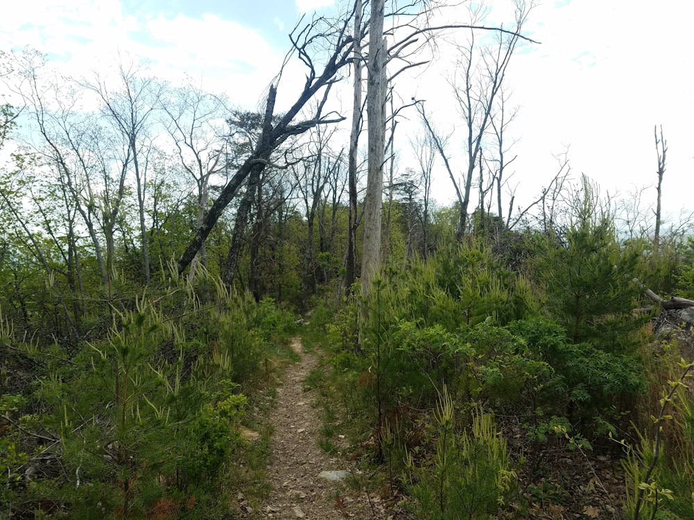
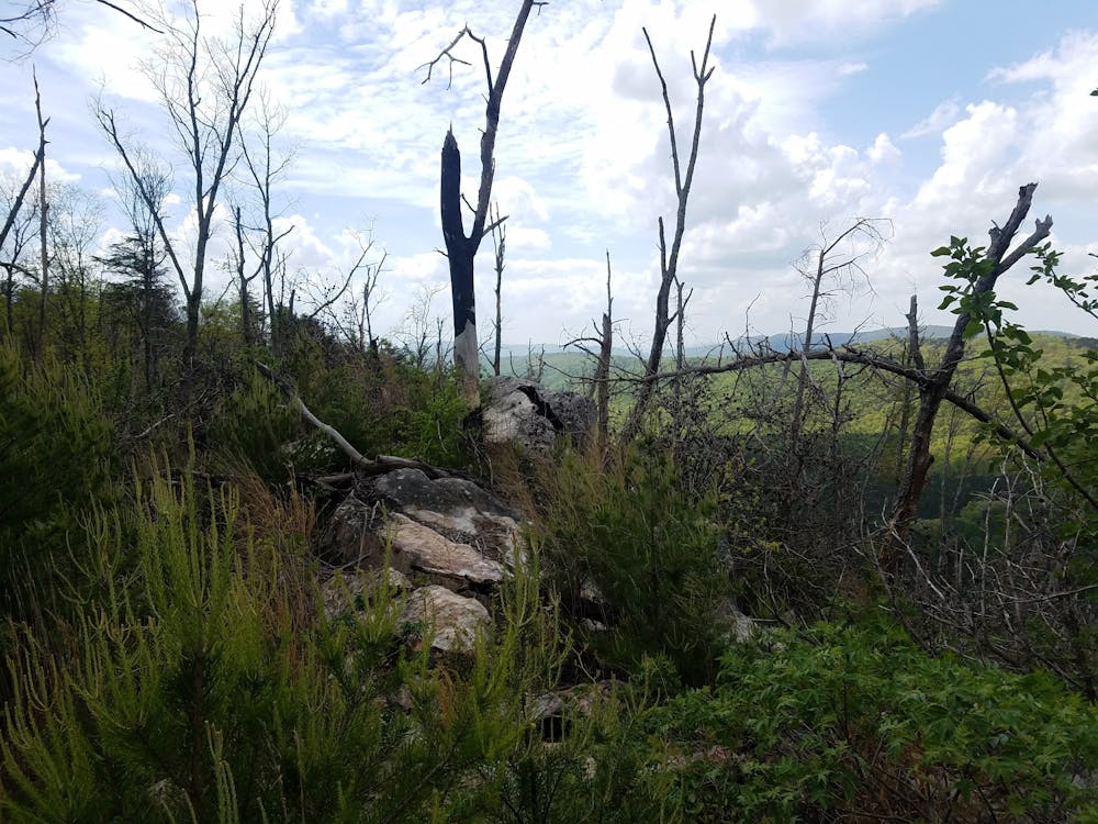
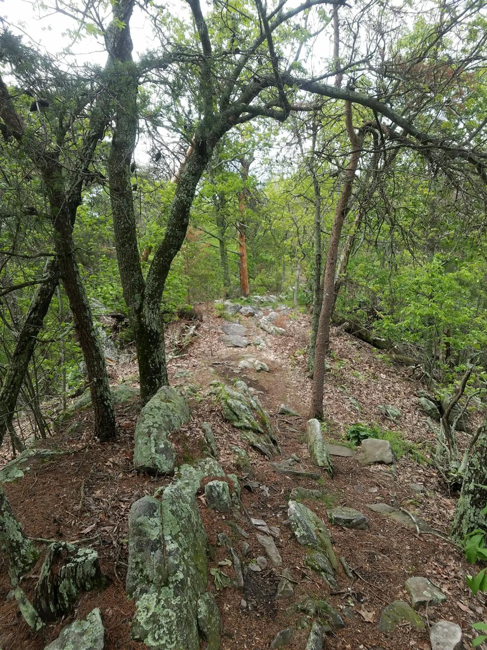
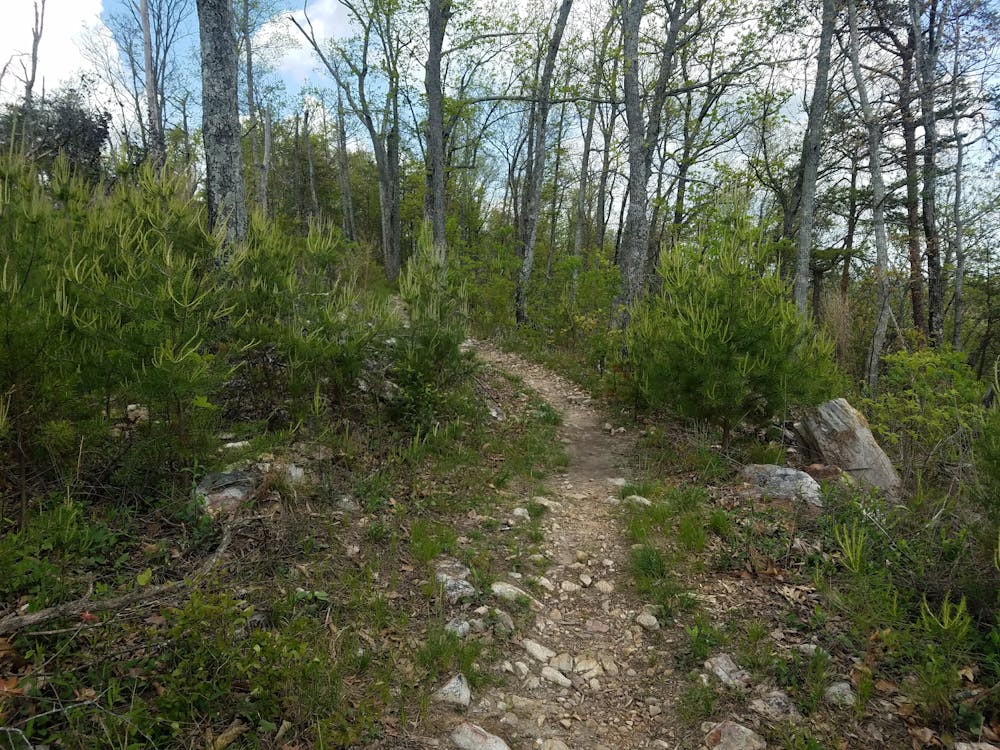
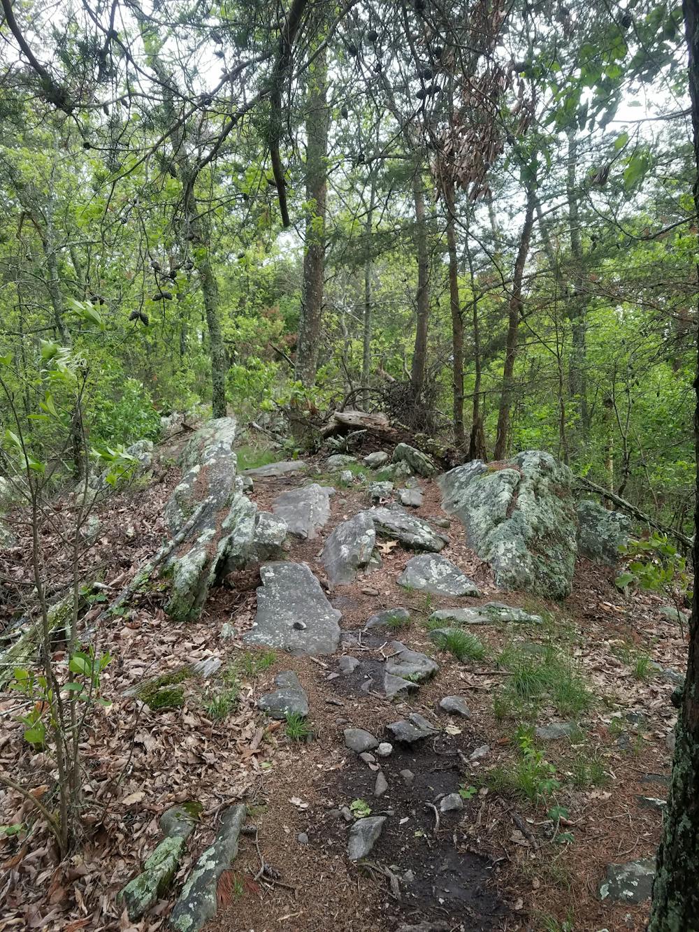
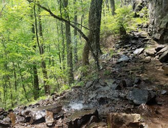
Snake Creek Gap, the southern terminus for this segment, boasts a large parking area with vault toilets— but no water. Just three miles along the trail, you'll approach a high point atop Mill Creek Mountain. Along the way, enjoy the series of views looking west towards nearby Villanow. Continuing north, the groomed singletrack begins to intermingle with more rugged, rocky terrain.
Continuing north, the Pinhoti traverses the talus ridges of Middle Mountain and Hurricane Mountain. Deep streams and low valleys intermingle with the higher peaks. In the winter, the water can be frigid and deep, requiring you to get your feet wet. In the summer, the streams may be no more than standing water.
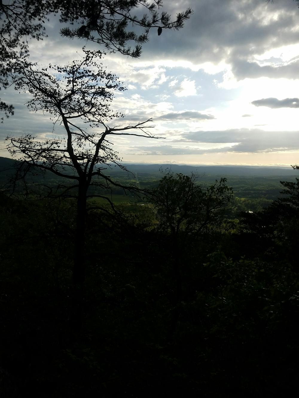
The northern terminus for this segment is Dug Gap. Parking is available along the road, with additional parking available at the Dalton Convention Center. For an excellent short hike, head south on the Pinhoti, following an access road to the radio towers atop Dug Mountain. Popular among locals, there are a few vistas to the west, making this an excellent evening hike and place to enjoy the sunset.
Difficult
Hiking trails where obstacles such as rocks or roots are prevalent. Some obstacles can require care to step over or around. At times, the trail can be worn and eroded. The grade of the trail is generally quite steep, and can often lead to strenuous hiking.

The trail contains some obstacles such as outcroppings and rock which could cause injury.

Little chance of being seen or helped in case of an accident.
6.3 km away
A family-friendly hike with epic views and a beautiful waterfall.
Moderate Hiking
10 routes · Hiking