Heritage Park
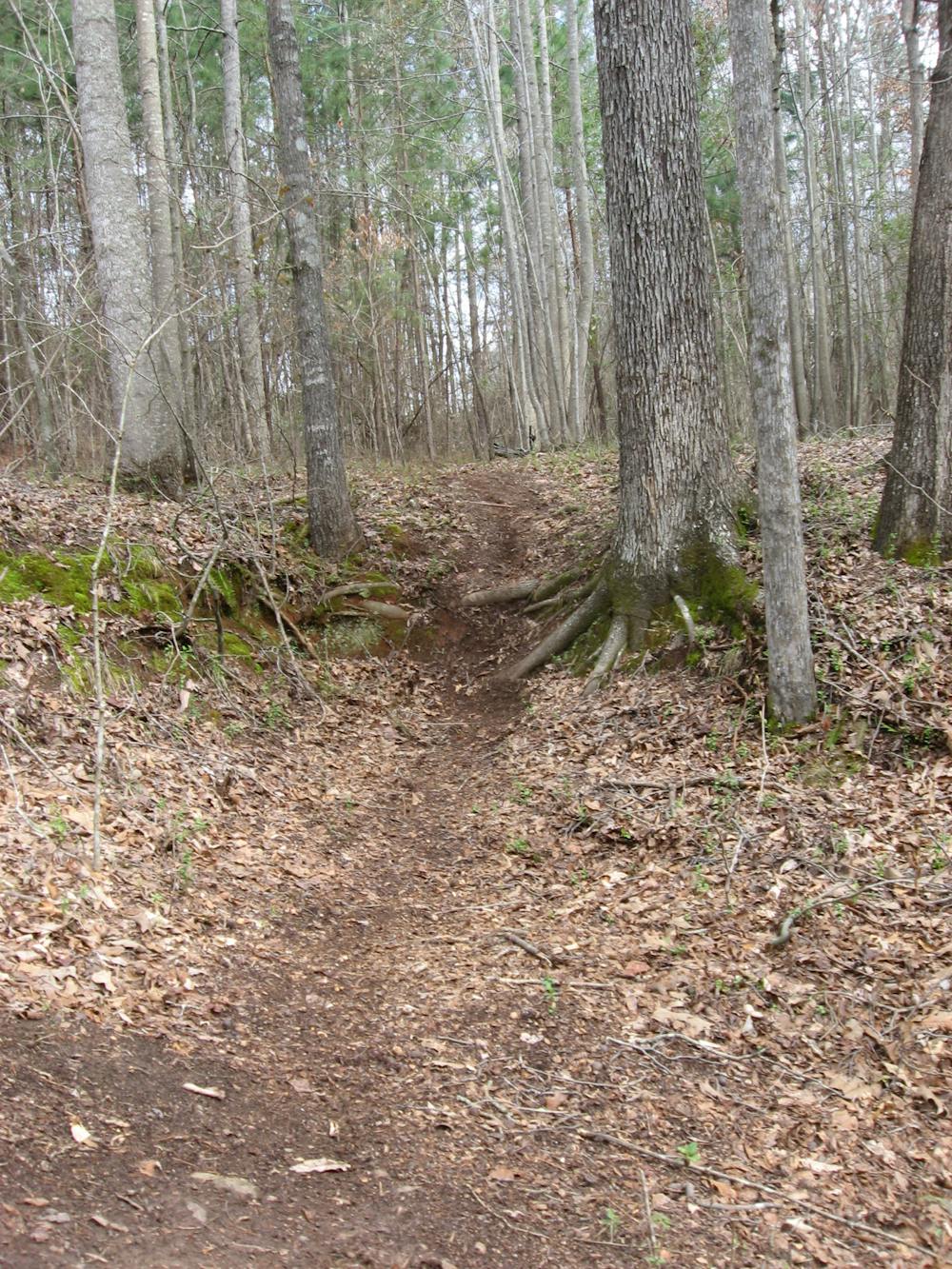
Rooty cross country riding.
Mountain Biking Difficult
- Distance
- 14 km
- Ascent
- 306 m
- Descent
- 306 m
- Duration
- 1-2 hrs
- Low Point
- 159 m
- High Point
- 226 m
- Gradient
- 4˚

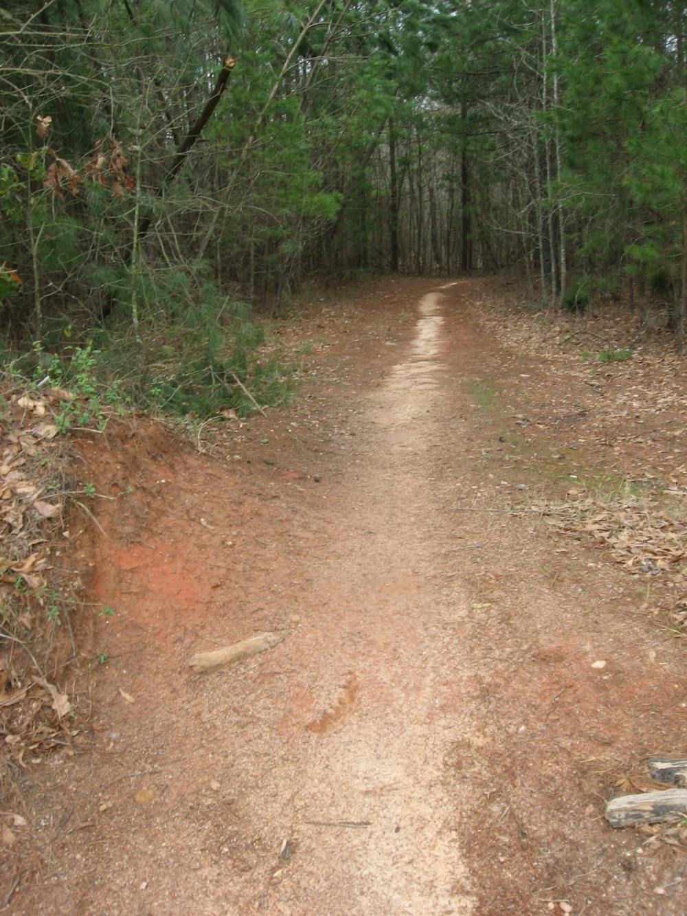
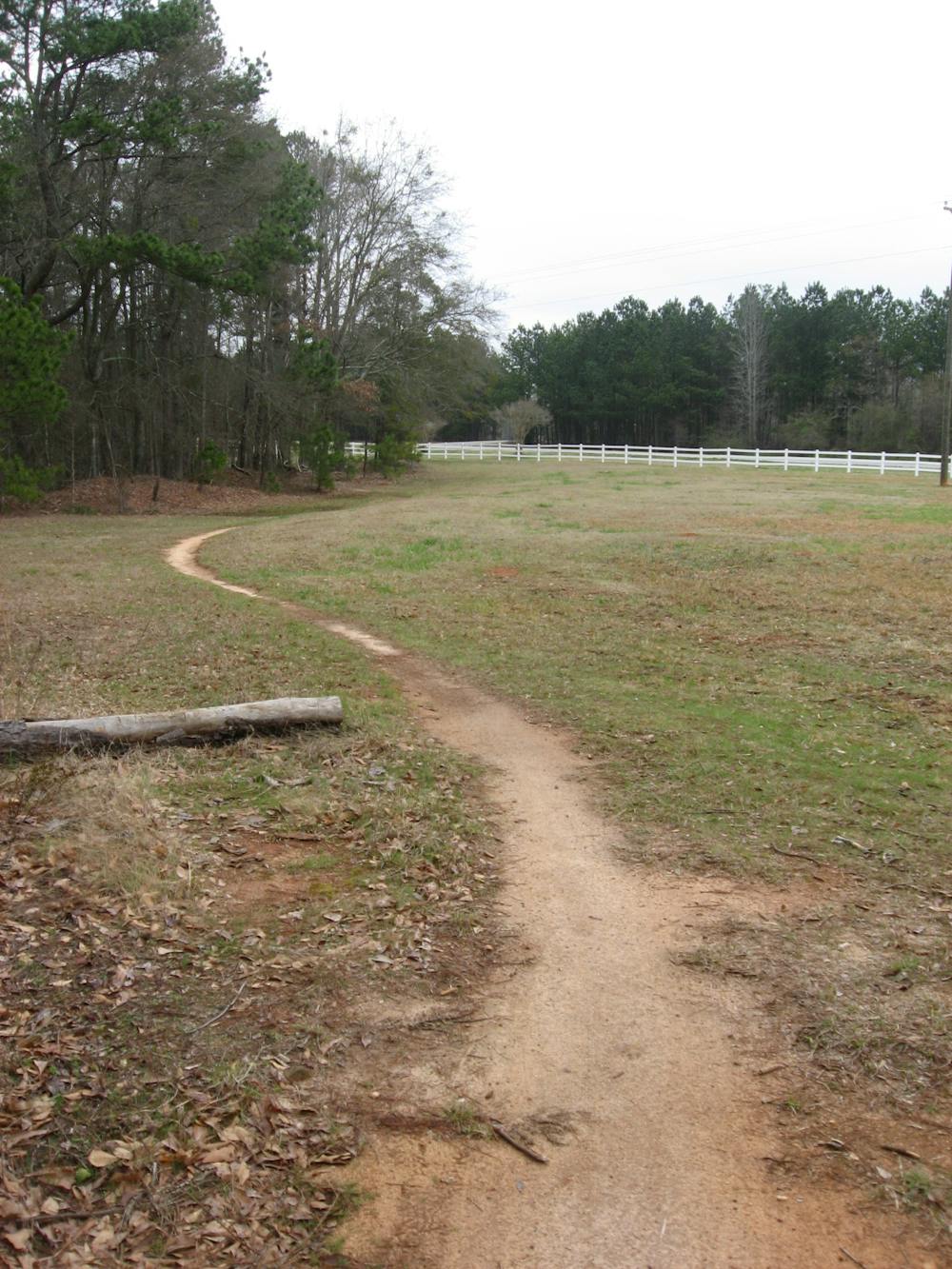
This is a popular mountain biking route which is generally considered to be difficult. It's an unknown remoteness, it features unknown exposure and is typically done in an unknown time of year. From a low point of 159 m to the maximum altitude of 226 m, the route covers 14 km, 306 vertical metres of ascent and 306 vertical metres of descent.
- •
- •
- •
- •
- •
- •
- •
Description
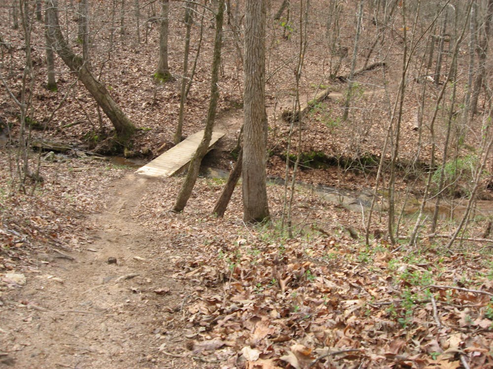
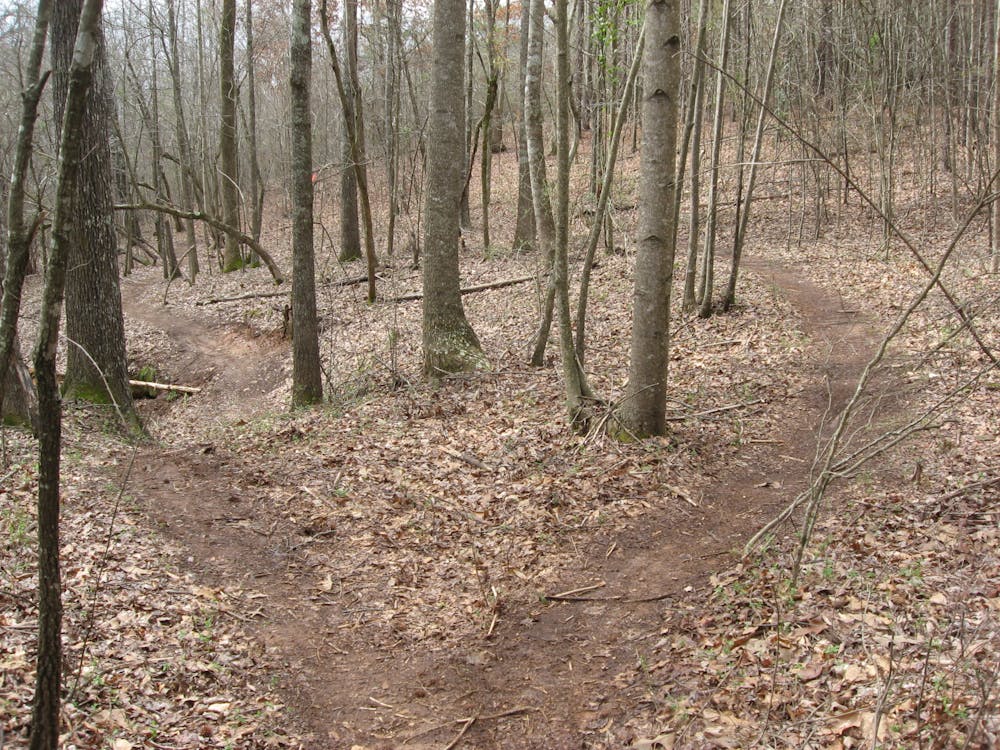
At Heritage Park, you'll find rooty cross country riding with punchy climbs just outside of Athens, GA.
Difficulty
Difficult
Mostly stable trail tread with some variability featuring larger and more unavoidable obstacles that may include, but not be limited to: bigger stones, roots, steps, and narrow curves. Compared to lower intermediate, technical difficulty is more advanced and grades of slopes are steeper. Ideal for upper intermediate riders.