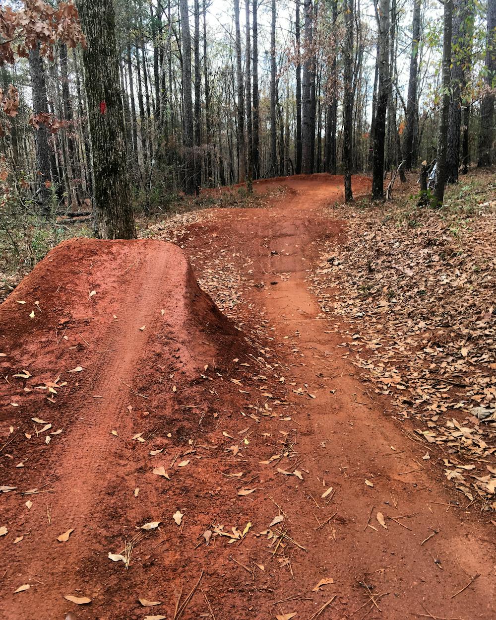
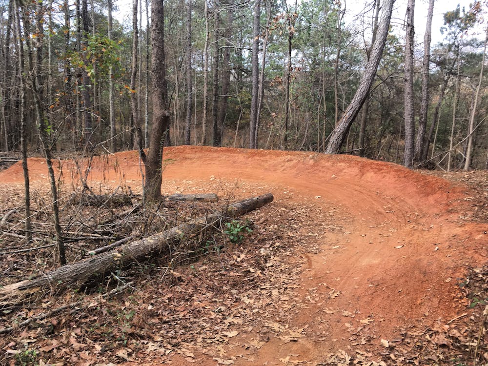
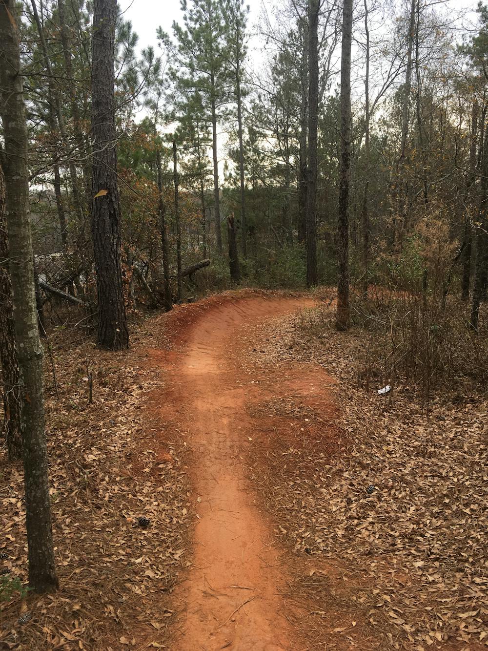
Trail Creek Park
Purpose-built mountain bike trails inside the loop.
Mountain Biking Moderate
- Distance
- 7.4 km
- Ascent
- 120 m
- Descent
- 120 m
- Duration
- 0-1 hrs
- Low Point
- 186 m
- High Point
- 225 m
- Gradient
- 2˚

This is a popular mountain biking route which is generally considered to be moderate. It's an unknown remoteness, it features unknown exposure and is typically done in an unknown time of year. From a low point of 186 m to the maximum altitude of 225 m, the route covers 7.4 km, 120 vertical metres of ascent and 120 vertical metres of descent.
- •
- •
- •
- •
- •
- •
- •
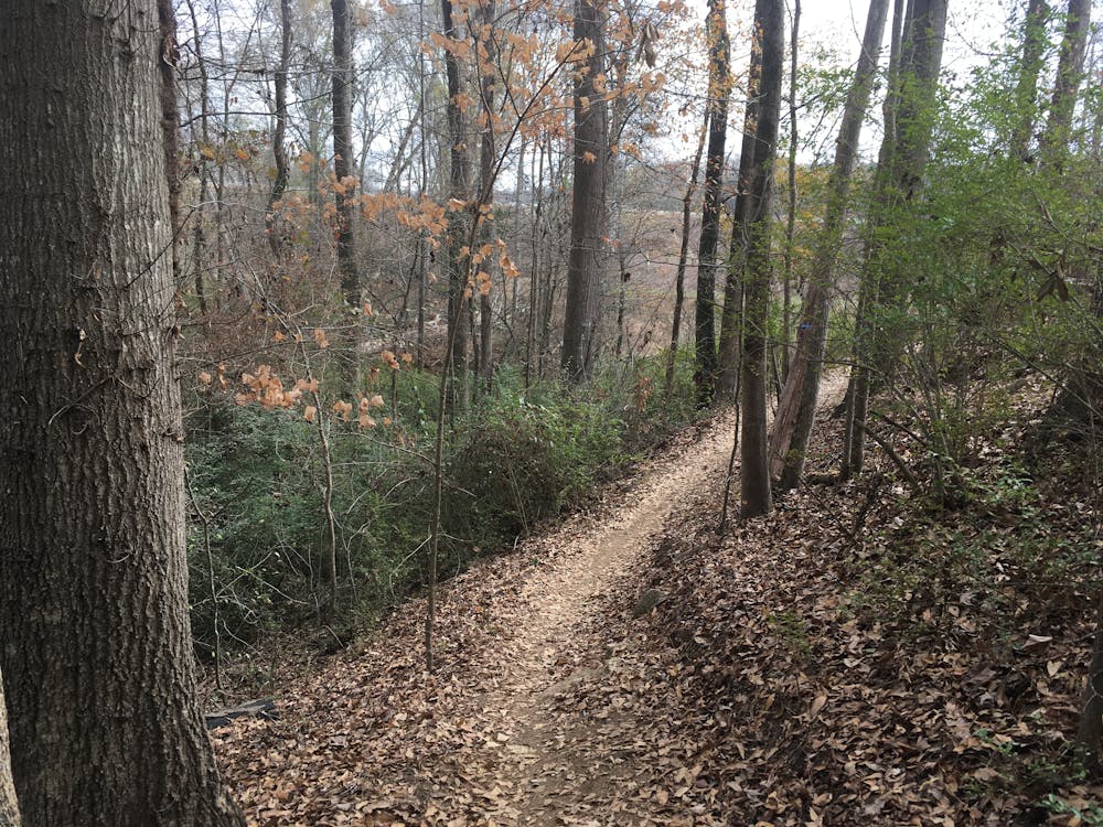
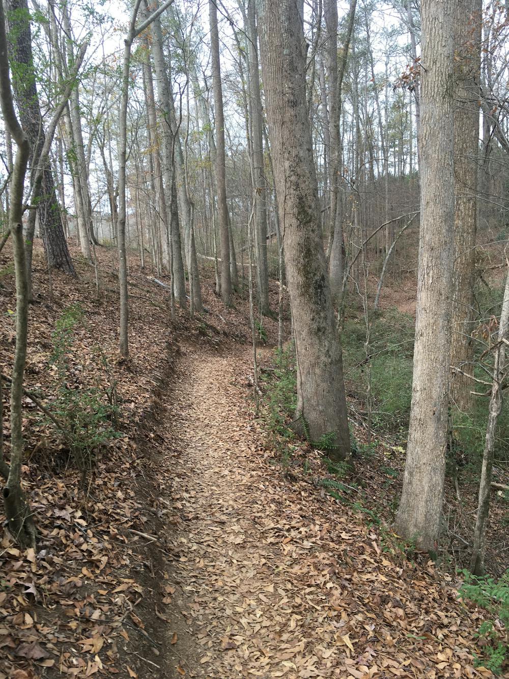
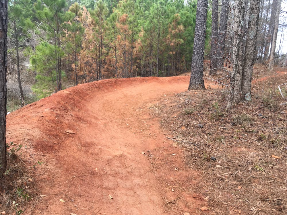
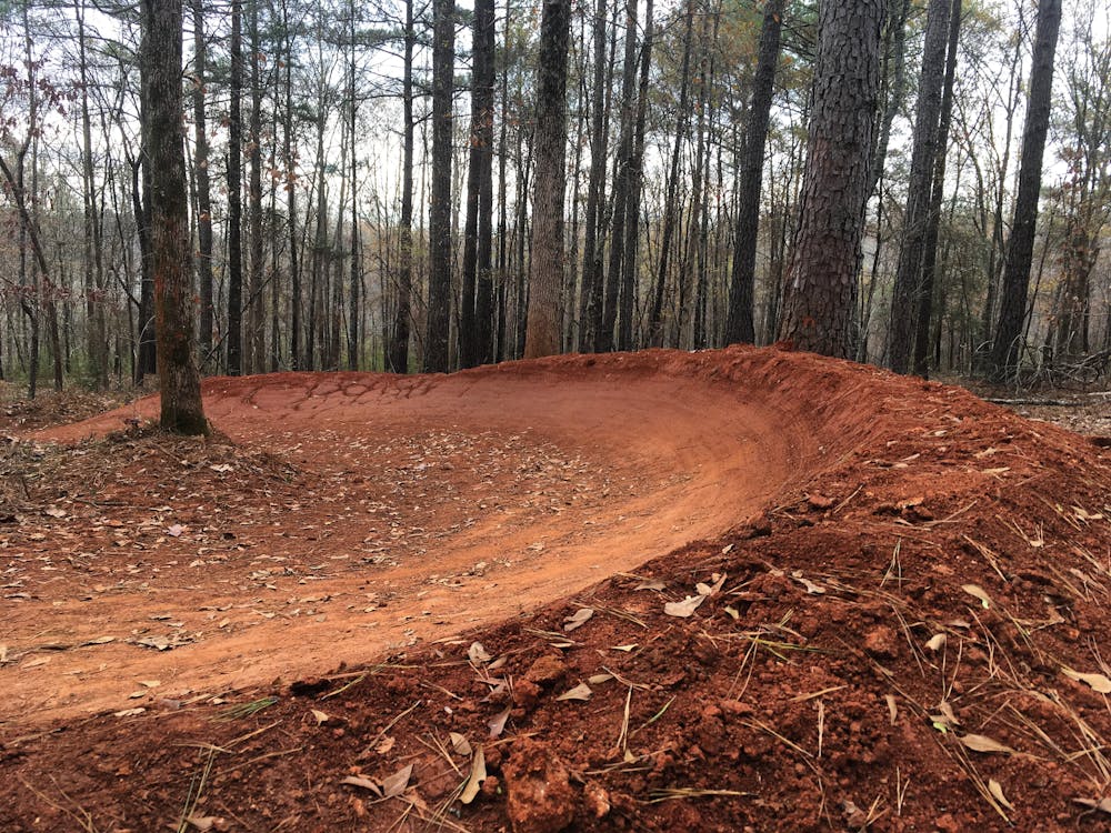
Description
The first purpose-built mountain bike trails inside The Loop in Athens, GA.
Difficulty
Moderate
Mostly stable trail tread with some variability, with unavoidable obstacles 8in/20cm tall or less. Other obstacles such as rock gullies and steep sections may exist. Ideal for lower intermediate riders.