5.3 km away
Waimano Falls
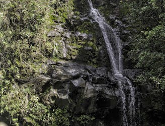
One of Oahu's most famous hikes, with a multi-tiered waterfall and beautiful pools at the end.
Severe Hiking
- Distance
- 4.6 km
- Ascent
- 264 m
- Descent
- 264 m
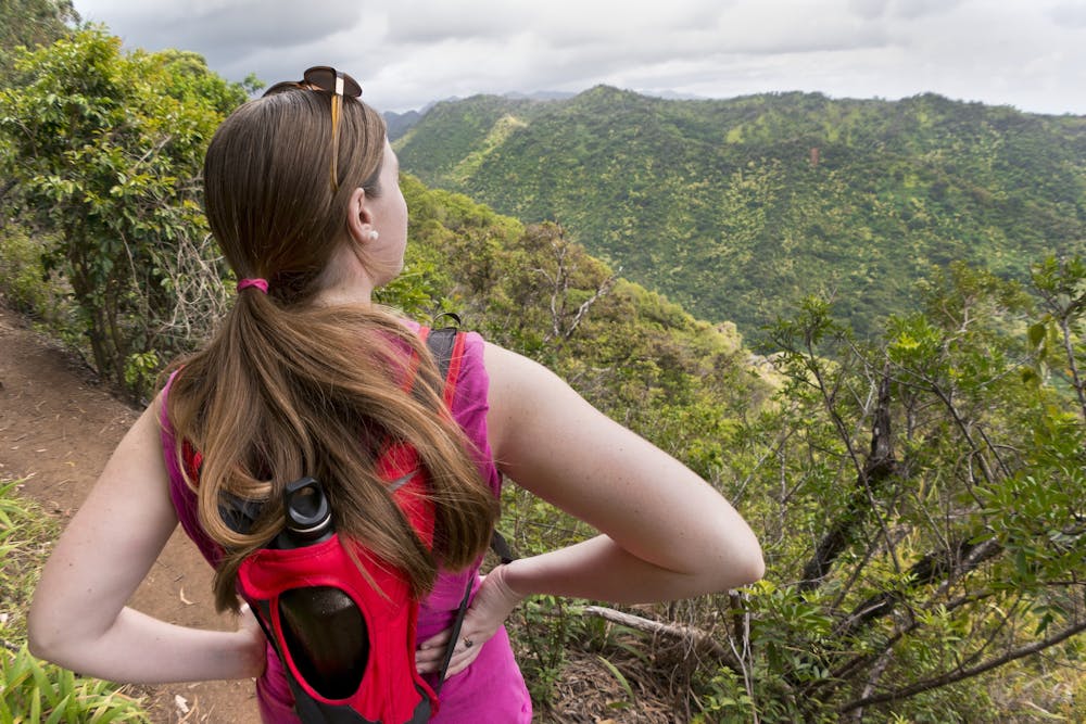
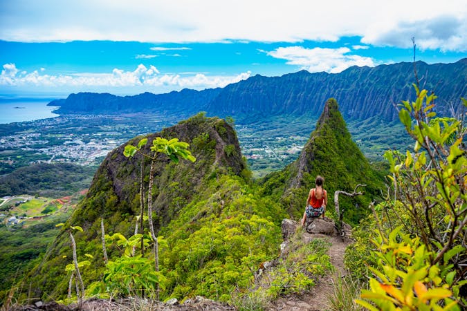
A stunning hike high in the mountains of Oahu.
Hiking Difficult

The Aiea Loop Trail is a popular 4.8-mile Oahu hike. Along this gorgeous hike, you'll enjoy views of the southern coastline of Oahu, Pearl Harbor, Diamond Head, nearby mountain ranges, and an impressive stretch of elevated interstate running through the rugged mountains.
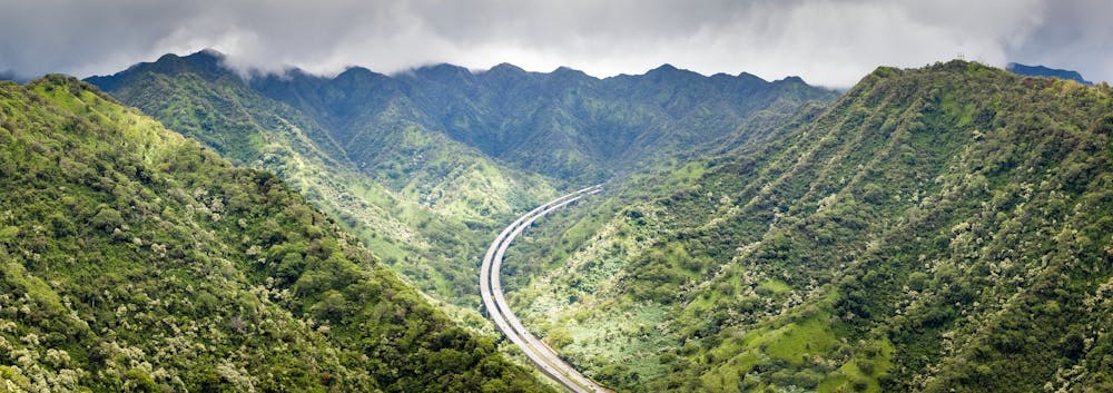

The trail itself can be very rugged in places, traversing slick root webs, mud, and some rocks. However, this loop isn't too steep or strenuous in the grand scheme of Oahu trails. According to FATMAP, it gains a bit over 1,000 vertical feet over the entire loop.
Sources: https://dlnr.hawaii.gov/dsp/hiking/oahu/aiea-loop-trail/
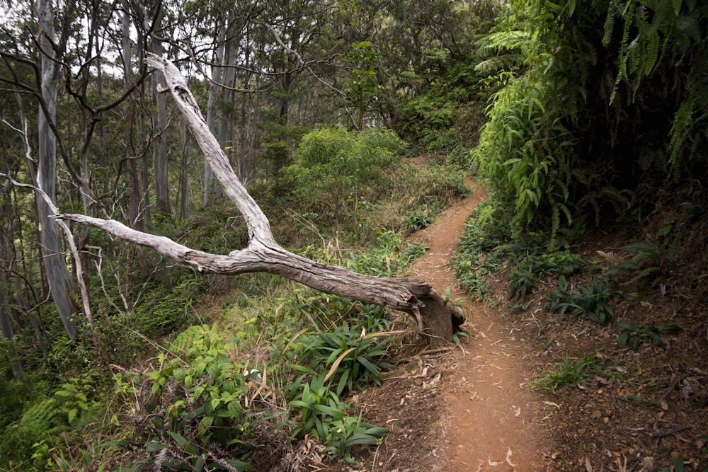
Difficult
Hiking trails where obstacles such as rocks or roots are prevalent. Some obstacles can require care to step over or around. At times, the trail can be worn and eroded. The grade of the trail is generally quite steep, and can often lead to strenuous hiking.

The trail contains some obstacles such as outcroppings and rock which could cause injury.

Little chance of being seen or helped in case of an accident.
5.3 km away
One of Oahu's most famous hikes, with a multi-tiered waterfall and beautiful pools at the end.
Severe Hiking
16 routes · Hiking