Hoapili Trail to Hanamanioa Point Lighthouse
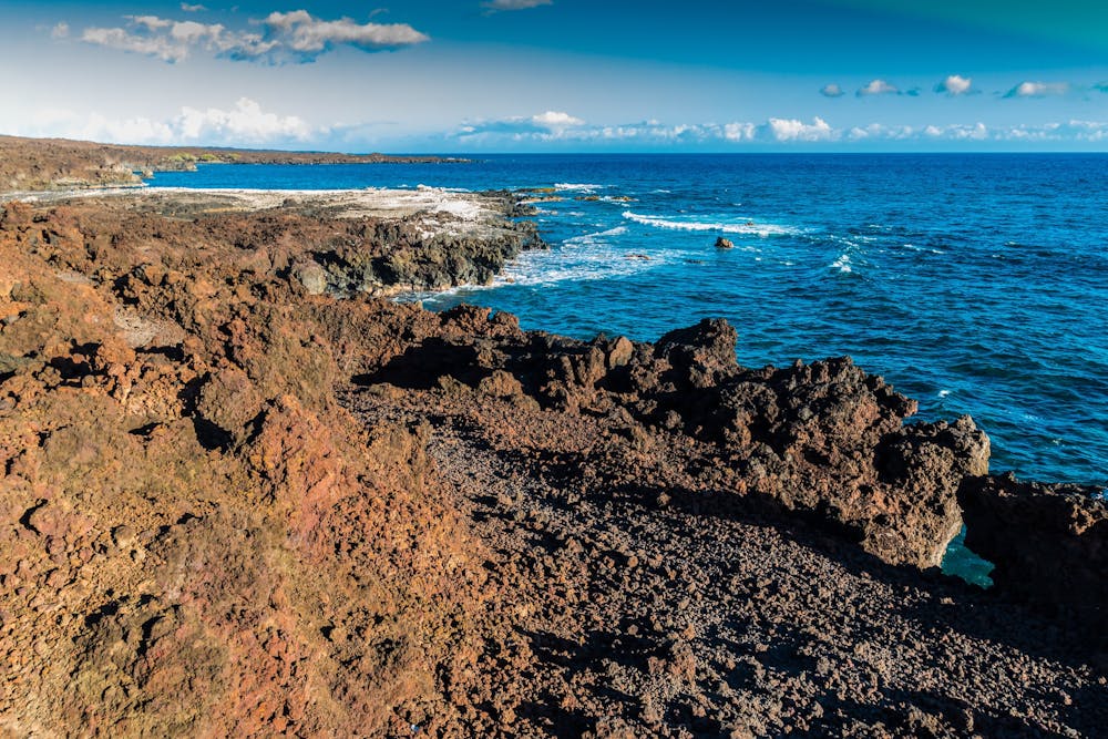
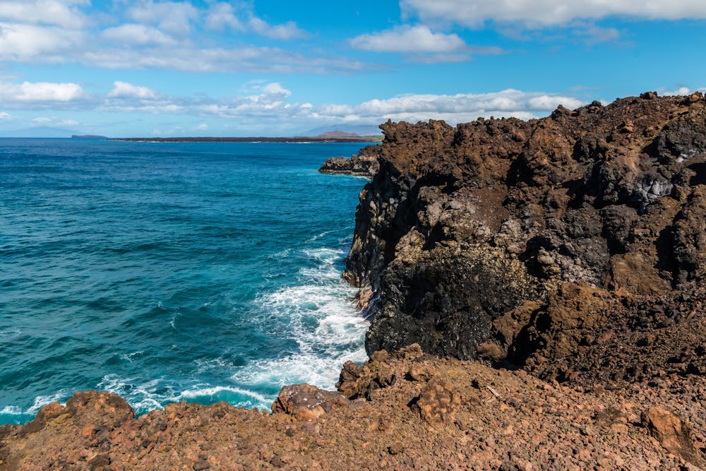
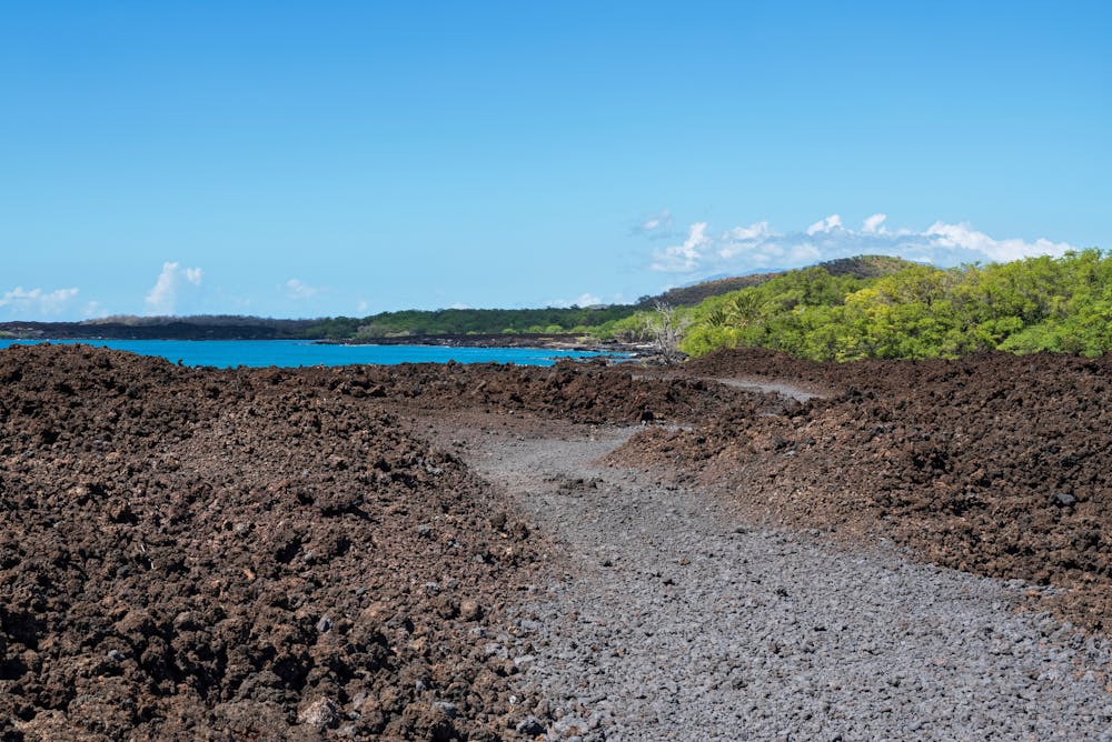
Hike through a coastal lava field on Maui.
Hiking Easy
- Distance
- 5 km
- Ascent
- 39 m
- Descent
- 39 m
- Duration
- 1-2 hrs
- Low Point
- 1 m
- High Point
- 17 m
- Gradient
- 1˚

This mellow 3-mile out-and-back hike passes through a series of lava fields along the shore of Maui from one of the most recent eruptions on the island in 1790.
- •
- •
- •
Description
While the lighthouse is the final destination and turnaround point of this hike, many sources report that the lighthouse is unspectacular. Don't expect a beautiful historic structure—instead, this lighthouse is merely bland and functional.
The ultimate point of this hike is the beautiful surroundings along the way, so take your time and savor the journey!
Sources https://myhikes.org/trails/hoapili-trail-to-hanomanioa-lighthouse https://www.maui-hikes.com/hoapili-trail
Difficulty
Easy
Walking along a well-kept trail that’s mostly flat. No obstacles are present.
Low Exposure

The path is on completely flat land and potential injury is limited to falling over.
Remoteness
Close to help in case of emergency.
Best time to visit
Features
- Historical
- Picturesque
- Water features
- Family friendly