
16 routes · Hiking
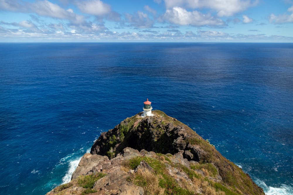
One of the most stunning views of O'ahu's southeastern coastline.
Hiking Easy
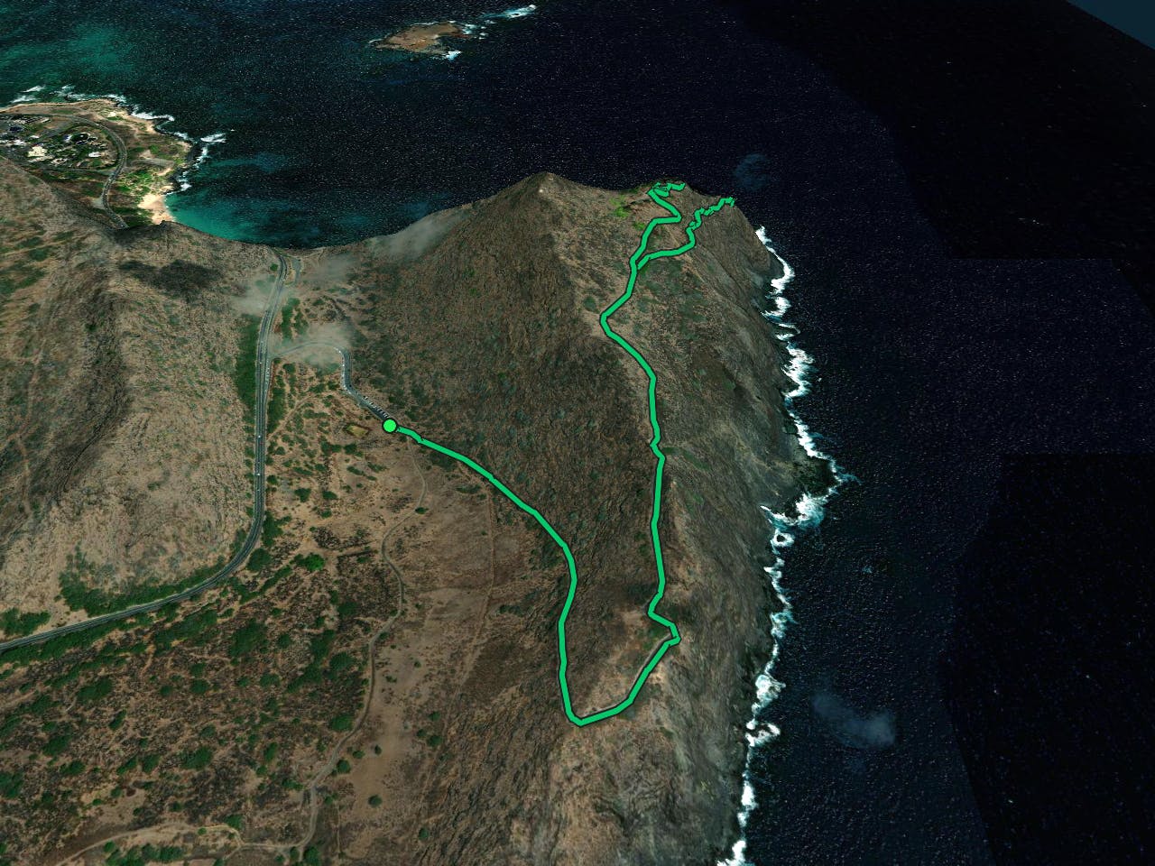
Makapuu Point Lighthouse is a popular, easy hike that provides stunning views of O'ahu's southeastern coastline. This smooth hike is accessible for almost everyone, providing a fantastic tourist sightseeing stop along the coast.
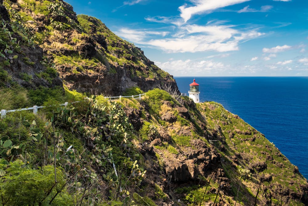
The trail itself is smooth and non-technical, but there is a bit of climbing along the way. The route, as mapped here, climbs a total of 600 vertical feet over its 3-mile roundtrip distance. However, this route visits both the lighthouse itself and the lookout point high above the lighthouse. You could choose to shorten this hike by only visiting one of these points. And you can also lengthen it with another additional jaunt up towards Makapu'u Head, too.
Sources: https://dlnr.hawaii.gov/dsp/hiking/oahu/makapuu-point-lighthouse-trail/
Easy
Walking along a well-kept trail that’s mostly flat. No obstacles are present.

The trail contains some obstacles such as outcroppings and rock which could cause injury.

Close to help in case of emergency.
16 routes · Hiking