3.5 km away
Makiki Valley Loop
The Makiki Valley Loop
Difficult Hiking
- Distance
- 5.1 km
- Ascent
- 291 m
- Descent
- 273 m
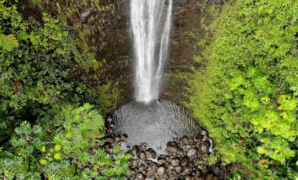
A mellow hike to a beautiful 100-foot-tall waterfall.
Hiking Moderate

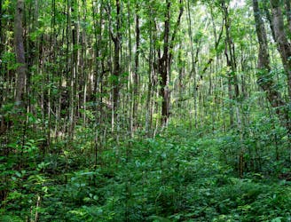
Hiking in Hawaii is renowned for its strenuousness and technical difficulty, so if you're looking for a rewarding hike that's not quite so arduous, head to the Manoa Falls Trail instead. This short 1.7-mile round-trip hike only climbs 558 vertical feet to reach the waterfalls. The trail itself also isn't too technical, but you might have to scale some steps and roots.
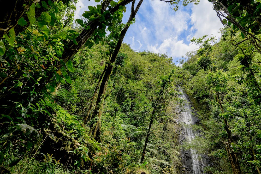
The entirety of the hike runs through Hawaii's deep rainforest in the Manoa Valley. It's often rainy and wet here in the forest, so come prepared for some mud, and consider bringing a rain jacket.
The reward for your effort is the impressive 100-foot-tall Manoa Falls. Like most Hawaiian waterfalls, the flow varies dramatically depending on how recently it rained and what time of year it is. For a more impressive cascade, visit immediately after a heavy rain.
Sources: https://www.hawaii-guide.com/oahu/hiking-trails/manoa-falls-trail
Moderate
Hiking along trails with some uneven terrain and small hills. Small rocks and roots may be present.

The trail contains some obstacles such as outcroppings and rock which could cause injury.
Away from help but easily accessed.
3.5 km away
The Makiki Valley Loop
Difficult Hiking
16 routes · Hiking