Aiea Loop Trail
A stunning trail run high in the mountains of Oahu.
Trail Running Difficult
- Distance
- 7.2 km
- Ascent
- 321 m
- Descent
- 321 m
- Duration
- 1-2 hrs
- Low Point
- 223 m
- High Point
- 484 m
- Gradient
- 8˚

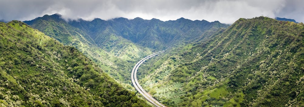
The Aiea Loop Trail is a popular 4.8-mile Oahu trail run. Along this gorgeous run, you'll enjoy views of the southern coastline of Oahu, Pearl Harbor, Diamond Head, nearby mountain ranges, and an impressive stretch of elevated interstate running through the rugged mountains.


- •
- •
- •
- •
Description
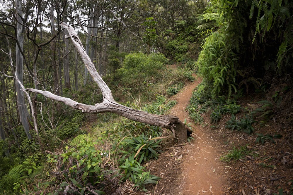
The trail itself can be very rugged in places, traversing slick root webs, mud, and some rocks. However, this loop isn't too steep or strenuous in the grand scheme of Oahu trails. According to FATMAP, it gains a bit over 1,000 vertical feet over the entire loop.
Sources: https://dlnr.hawaii.gov/dsp/hiking/oahu/aiea-loop-trail/
Difficulty
Difficult
Medium Exposure

The trail contains some obstacles such as outcroppings and rock which could cause injury.
Remoteness

Little chance of being seen or helped in case of an accident.