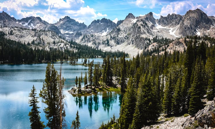
Sawtooth Lake from Iron Creek
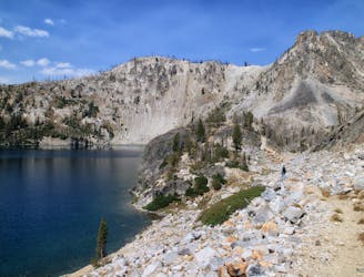
A popular hike to two of the most stunning lakes in the Sawtooth Mountains.
Moderate Hiking
- Distance
- 15 km
- Ascent
- 568 m
- Descent
- 568 m
Bag a Sawtooth summit after hiking to this popular lake.
Hiking Extreme

This peak is one of the more accessible in the Sawtooth Range, thanks to the Sawtooth Lake trail and a relatively mellow route to the summit from there. The climb is typically done within a day, but camping at Sawtooth Lake or Alpine Lake makes a relaxed alternative. Keep in mind that this area is very popular for day hiking and backpacking in the summer.
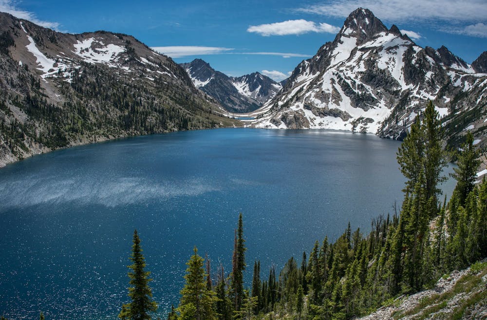
Once atop Alpine Peak, you’ll find a daunting panorama of Sawtooth Peaks, plus of course an unbeatable view down to the lake and across at the majestic Mount Reagan. In the other direction, you can see the town of Stanley down by the Salmon River.
Start from the Iron Creek Trailhead and follow the well-traveled trail to Sawtooth Lake. The trail continues along the lake’s east shore, and as you follow this, look up to find your route on the mountain’s west face. There is no trail and maybe not a detectable climbers path either, so just pick a gully that looks reasonable and find the path of least resistance. The climb should not involve anything tougher than Class 3, and serious exposure should be avoidable.
By mid-July you can ascend on rock and scree rather than snow, but the scree will likely become very steep and loose near the summit ridge. If you top the ridge anywhere shy of the summit, expect to scramble through ledges and blocks to traverse the rest of the way. Beware of loose rock. On the descent, you might enjoy some scree skiing or glissading, depending on conditions and the route you choose.
Sources: https://idahosummits.com/alpine/alpine.htm https://www.peakbagger.com/climber/ascent.aspx?aid=1219
Extreme
Scrambling up mountains and along technical trails with moderate fall exposure. Handholds are necessary to navigate the trail in its entirety, although they are not necessary at all times. Some obstacles can be very large and difficult to navigate, and the grades can often be near-vertical. The challenge of the trail and the steepness of the grade results in very strenuous hiking. Hikes of this difficulty blur the lines between "hiking" and "climbing".

The trail contains some obstacles such as outcroppings and rock which could cause injury.

Little chance of being seen or helped in case of an accident.
A popular hike to two of the most stunning lakes in the Sawtooth Mountains.
Moderate Hiking
9.4 km away
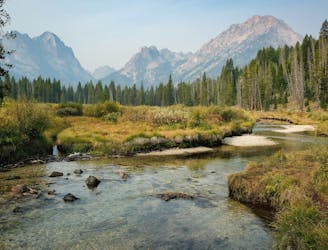
Family-friendly stoll along a mountain creek, ending at an incredible view of the Sawtooths.
Moderate Hiking
9.4 km away
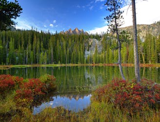
With a boat shuttle, you can hike the length of Redfish Lake and see smaller, higher alpine lakes along the way.
Moderate Hiking
8 routes · Hiking