
40 routes · Hiking
A scenic and rugged passage along the Red Conglomerate Peaks and through the Eighteen Mile WSA.
Also in Montana, United States of America
Hiking Difficult
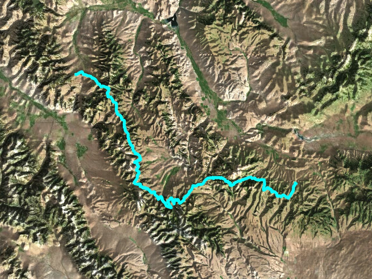
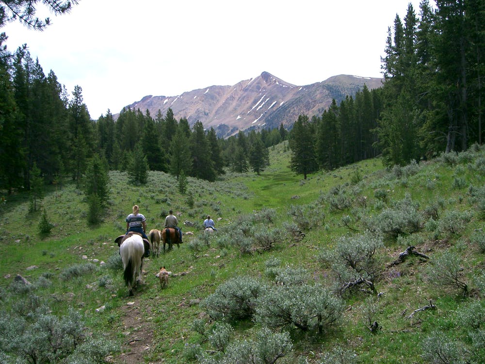
This segment of the CDT begins at a quiet trailhead on Modoc Road labeled as FS-005. The small parking area is the closest place to access the trail from Interstate 15, and overnight parking is available. With the rugged Centennial Mountains at your back, you'll continue west along the Idaho/Montana state line bound for the Red Conglomerate Peaks.
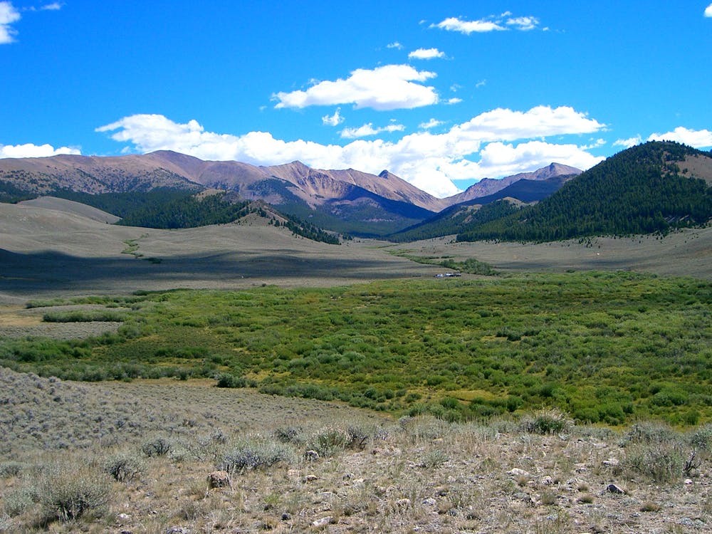
Although the range lies mostly within Montana, 3 of its 4 defined peaks are actually in Idaho. The CDT runs along the northern slopes of the massif and skirts the northern summit, the only peak entirely within Montana. A "complex geologic mix, the massif is a blend of reddish conglomerate, volcanic rock, and granite," this source describes, while another source considers the massif a "striking and magnificent ridgeline." Bannack Pass (not to be confused with Bannock Pass), then Nicholai Creek, lie ahead and offer the most direct road access into the range.
Shifting in a northward direction, the CDT continues into the Eighteen Mile Wilderness Study Area, a massive area of public land that is reported to host abundant oil and gas resources and many other valuable minerals. Gypsum, uranium, thorium, and even geothermal energy potential have been studied in detail and documented here for those who care to read further.
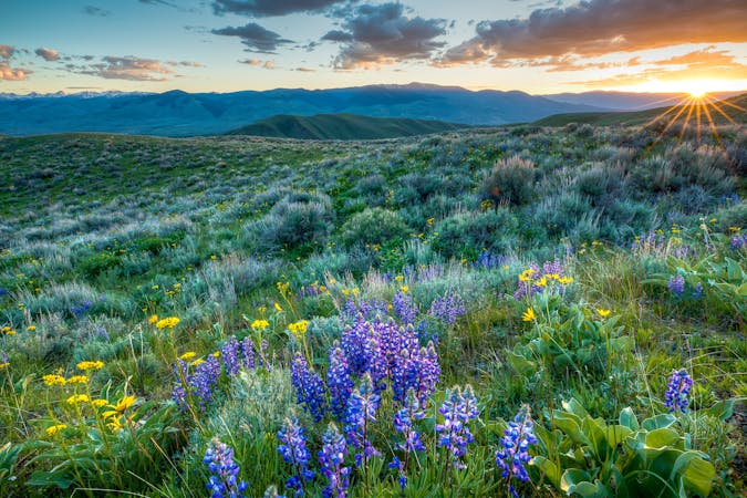
Throughout the WSA, the CDT tends to follow the spine of the ridgeline, topping out on Elk Mountain at 10,168'. As most of the trail is above the tree line, you'll enjoy endless views as you hike this section of trail. Just be mindful of summer afternoon thunderstorms and the added exposure that comes with the view.
This segment ends at Bannock Pass on the state line and hosts plenty of parking, including those looking to leave a vehicle for the night. The road also offers access into Leadore, ID, a tiny community with a small airstrip, store, and post office.
Sources: southwestmt.com idahoclimbingguide.com Environmental Impact Report
Difficult
Hiking trails where obstacles such as rocks or roots are prevalent. Some obstacles can require care to step over or around. At times, the trail can be worn and eroded. The grade of the trail is generally quite steep, and can often lead to strenuous hiking.

Some trail sections have exposed ledges or steep ascents/descents where falling could cause serious injury.
Little chance of being seen or helped in case of an accident.
40 routes · Hiking
13 routes · Hiking