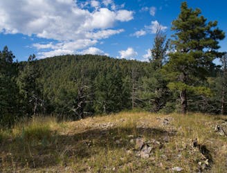
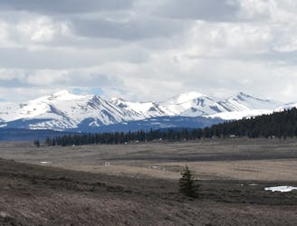
CDT: Southern Terminus to NM-9
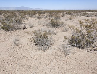
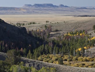
The southernmost section of the CDT as it explores the Chihuahuan Desert and crosses the Big Hatchet Mountains.
Moderate Hiking
- Distance
- 72 km
- Ascent
- 956 m
- Descent
- 832 m
Experience the Continental Divide Trail, section by section, with this comprehensive guidebook of one of North America’s most iconic thru-hikes.
Hiking Moderate, Difficult, Severe
Also in Alberta, Canada • Chihuahua, Mexico • Colorado, United States of America • Montana, United States of America • New Mexico, United States of America • Wyoming, United States of America
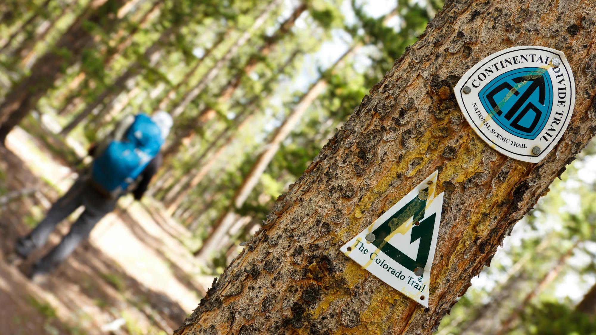
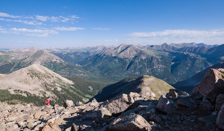
Totaling nearly 3,100 miles between the Mexican and Canadian borders, the Continental Divide Trail is one of the most epic undertakings a thru-hiker can tackle in the United States. In fact, it’s part of the renowned Triple Crown of Hiking that requires hikers to also complete the Pacific Crest Trail and the Appalachian Trail. As the longest of the three trails, the CDT tours the high desert, ancient lava flows, then climbs its way into the Rocky Mountains on its epic journey through mountainous terrain bound for its finale in Glacier National Park. Whether you’re looking for a day hike on the trail or are planning your thru-hike and looking for the need-to-know facts, this guidebook breaks down the trail into bite-sized pieces, beginning at the Crazy Cook Monument in New Mexico, and ending at its northern terminus at the US/Canada Border.
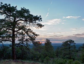
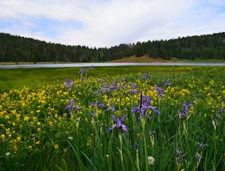
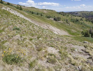
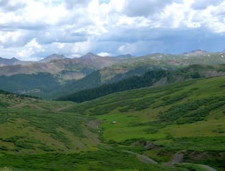
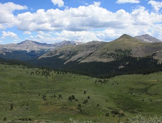
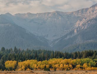
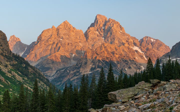
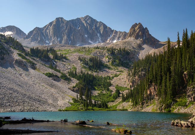
While thru-hiking the entire trail is a life-long goal for some, the Continental Divide Trail includes plenty of highlights in each state. New Mexico is known for long high-desert traverses where water is minimal, yet it finishes in the high mountains after passing through ancient lava flows. Colorado offers the highest points along the entire trail. Here, the route runs alongside many of its infamous 14,000-foot peaks, which are coveted by adventurers across North America. Wyoming begins with an unsuspecting passage through vast oil and mining lands but quickly transitions into the wild Wind River Range, considered one of the most remote mountain ranges in the lower 48. And finally, the Idaho and Montana segments highlight the beauty of the beloved Yellowstone and Glacier National Parks, while intermittently touring vast wilderness areas that haven’t been explored since the mining boom of the 1800s.
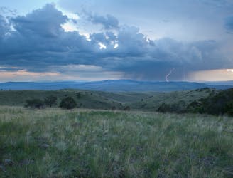
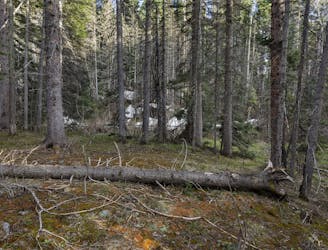
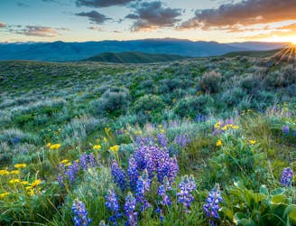
Tthe flora and fauna vary drastically along the trail's incredible length. Chihuahuan desert scrub dominates the southern end of the trail, while moose, elk, and even grizzly bears can be seen alongside the many glacial lakes on the trail’s northern end. Bear-proof canisters are highly recommended no matter where you hike along the trail, and wildlife sightings are quite common – though interactions are typically benign. Water sources also vary drastically, and optional caches are even placed along the trail where sources are limited. That said, certain sections require water crossings that could be thigh-deep after recent rain. Thankfully, the CDT Water Report is available and details the most up-to-date information on freshwater along the trail. A water filter and filtration tabs are still mandatory along most portions of the trail.
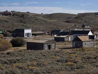
If you’re thru-hiking and want to experience the trail to its fullest, the CDT Coalition notes numerous gateway communities along the trail that one should consider stopping for. While there are even more towns along the way to refuel and resupply in, these hand-picked towns offer a glimpse to a nearly-forgotten era of ranching, mining, logging, and sometimes even back to the Native American cultures. Forgotten ghost towns host saloons, mining exhibits, and more, while others highlight the importance of early expeditions such as the famous Lewis and Clark Expedition of the early 1800s.
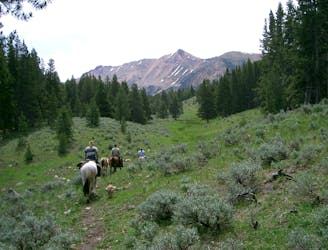
Now whether you want to plan a thru-hike of the entire trail, section hike, or hit a popular spot on the trail, is up to you. The logistics and planning required to complete the entire trail are rather daunting for most, and are sometimes restricted by finances for others. Oftentimes, fees for shuttling and campsites can add up, and the pre-arrangement of mailing yourself supplies can add up quickly. In particular, the Benchmark Wilderness Ranch in Montana is the only resupply point along a 175+ mile stretch and hikers can choose to mail themselves a one cubic-foot package in advance for a small fee. Pitching a tent on-site and showering adds even more - but don’t let that bring you down. There are countless ways to hike the trail, from tent camping and hitchhiking your way into town – to staying in cabins and hotels as often as possible.
No matter what you’re into, the CDT is the ultimate Rocky Mountain experience for anyone looking for an adventure.
Sources: CDT Coalition
The southernmost section of the CDT as it explores the Chihuahuan Desert and crosses the Big Hatchet Mountains.
Moderate Hiking

A barren wasteland of solitude as you round out the southernmost section of the CDT.
Moderate Hiking
Hike this section of the CDT as it transitions from the barren Chihuahuan Desert, into the Big Burro Mountains.
Difficult Hiking
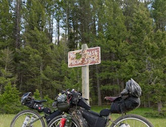
A shorter section of the CDT connecting the Gateway Community of Silver City to Sapillo Campground, via the historic Pinos Altos Mountains.
Difficult Hiking
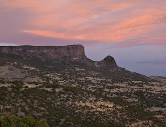
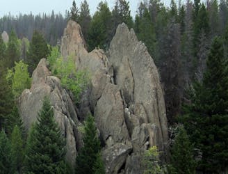
Hike along the rim of a canyon, the transition into the rugged Aldo Leopold Wilderness, some of New Mexico's wildest and most rugged mountains.
Difficult Hiking
A long westward traverse defined by grassy canyonlands and high mountain peaks.
Difficult Hiking

A quiet section of the CDT ending with a long road walk into the world-famous Pie Town.
Moderate Hiking
A long road walk followed by a tour around the stunning El Malpais National Monument.
Moderate Hiking
The long, 100+ mile stretch through remote wilderness between Grants and Cuba.
Difficult Hiking
Two long wilderness traverses through vast meadows, deep canyons, and stands of spruce and pine.
Difficult Hiking
The northernmost section of the CDT in New Mexico as it crosses over some of the state's highest peaks.
Difficult Hiking
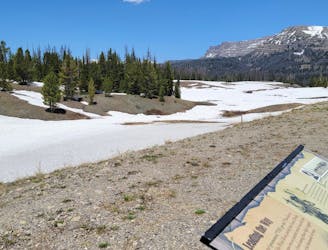
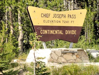
Begin your journey through the southern San Juans, where alpine terrain and high mountain lakes abound.
Difficult Hiking
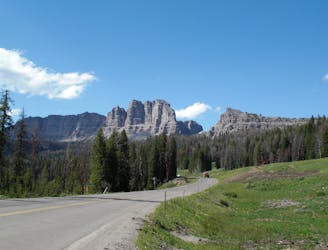
A remote and notable portion of the CDT that lies mostly above the treeline through a remote wilderness area.
Difficult Hiking
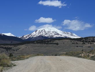
A long alpine trek alongside peaks towering as tall as 14,000'.
Difficult Hiking

A *mostly* sub-alpine traverse with epic views of Mount Ouray (13,888'), and a northern terminus at Monarch Pass.
Difficult Hiking
A stunning section of the CDT known for its views of Monumental Peak and passage through the Collegiate Peaks Wilderness.
Difficult Hiking
A narrow singletrack passage paralleling US-24 to the west as the CDT circles around Leadville.
Difficult Hiking
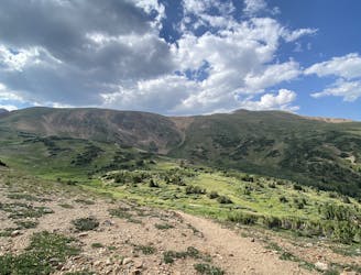
A 67-mile section of the CDT ideal as a section hike ending with one of Colorado's best 14ers - Grays Peak.
Severe Hiking
A diverse segment of the CDT traversing alpine and sub-alpine singletrack connecting Interstate 70 to Grand Lake, the gateway to the Rocky Mountains NP.
Difficult Hiking
Enjoy both alpine and sub-alpine peaks as you make your way from Rocky Mountain National Park, to US-40 near Steamboat Spring.
Difficult Hiking
A long passageway through the Medicine Bow-Routt National Forest as the CDT makes its way into Wyoming.
Severe Hiking

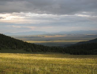
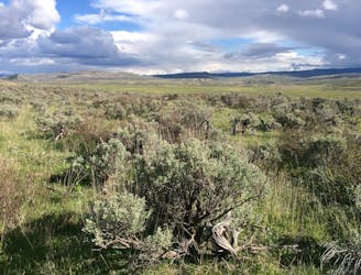
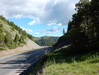
The gateway into Wyoming as you shift from alpine mountaintops covered in spruce, fir, pine, and aspen, to rolling sagebrush prairies with views as far as the eye can see.
Moderate Hiking
A long traverse through rolling hills and canyons connecting Rawlins to the southern end of the Wind River Range.
Moderate Hiking
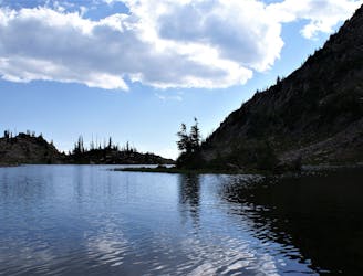
A long and incredibly scenic passage through the Wind River Range.
Difficult Hiking
A scenic end to the Wind River Range with a northern terminus at Togwotee Pass, a historic trade passageway through the mountains.
Difficult Hiking
A remote passageway through the Teton Wilderness, considered one of the most remote areas in the lower 48.
Difficult Hiking
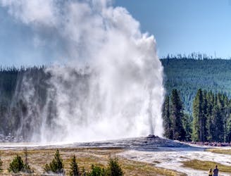
The CDT's passage through the southwest corner of Yellowstone National Park, including the stunning Old Faithful Geyser.
Difficult Hiking
A rugged traverse through the remote Centennial Mountains, an ecologically significant area connecting Yellowstone to the greater Rocky Mountains.
Difficult Hiking
A scenic and rugged passage along the Red Conglomerate Peaks and through the Eighteen Mile WSA.
Difficult Hiking
A scenic and demanding ridgeline traverse through the heart of Idaho's Beaverhead Mountains.
Difficult Hiking
The trek through the Anaconda Pintler Wilderness Area, a jewel of the Northern Rockies.
Difficult Hiking
Explore the remote Mount Haggin WMA then enjoy convenient access to and from Butte, MT, on this section of the CDT.
Difficult Hiking
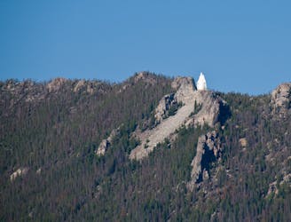
A 100-mile passage north through the heart of the Butte-Jefferson Ranger District, with an option to visit Our Lady of the Rockies statue overlooking Butte.
Difficult Hiking
A remote segment of the CDT known for its views from the Granite Mountain Lookout Tower.
Difficult Hiking
A scenic and especially remote traverse through wild Montana wilderness ending at the Benchmark Wilderness Ranch.
Severe Hiking
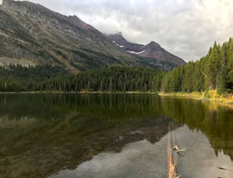
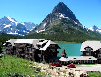
The gateway into Glacier National Park as you near the finale of the 3,100-mile CDT.
Difficult Hiking
An alternate way to complete the CDT when snow or logistics into Canada are problematic.
Moderate Hiking
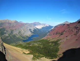
The classic finish to the CDT at the Border Monument on Waterton Lake.
Difficult Hiking
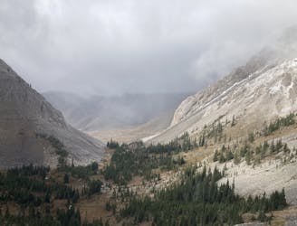
One of the most remote and wild areas of the CDT as you traverse the 3rd largest designated wilderness in the lower 48.
Severe Hiking
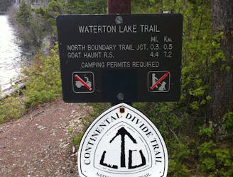
A classic finish to the CDT that ends at Waterton Park in Canada.
Moderate Hiking
10 routes · Alpine Climbing · Hiking

16 routes · Hiking
7 routes · Hiking
6 routes · Alpine Climbing · Hiking
6 routes · Hiking
6 routes · Hiking
8 routes · Hiking

7 routes · Alpine Climbing · Hiking
11 routes · Alpine Climbing · Hiking
16 routes · Hiking