12 m away
Monarch Crest: Monarch Pass to Marshall Pass
One of the most scenic traverse trails in the state!
Difficult Hiking
- Distance
- 17 km
- Ascent
- 354 m
- Descent
- 500 m
A stunning section of the CDT known for its views of Monumental Peak and passage through the Collegiate Peaks Wilderness.
Hiking Difficult

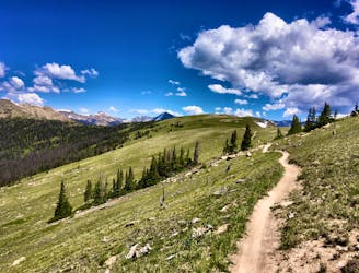
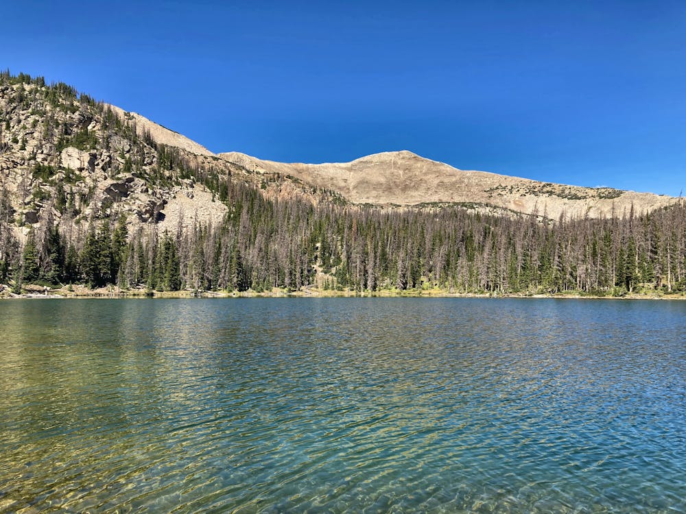
This segment of trail begins at Monarch Pass, adjacent to the highly-acclaimed ski resort across the road. As a noteworthy point on the trail, the lot hosts over 100 overnight parking spots, plus oversized vehicle parking. The Monarch Crest Tramway also begins at the parking lot, offering a short point-to-point hike pairing the lift and a short portion of the CDT. Other nearby day hikes include Green's Creek, a "local sleeper hit," according to Greg Heil, and Waterdog Lakes, a shorter option that climbs to a series of nearby alpine lakes.
Located to the east of Monarch Pass, the small trail town of Salida is nestled within the Arkansas River Valley. According to the CDT Coalition, the town once hosted mining and railroad traffic, though downtown now "boasts coffee shops, yoga studios, and craft breweries," in addition to hostels for budget travelers.
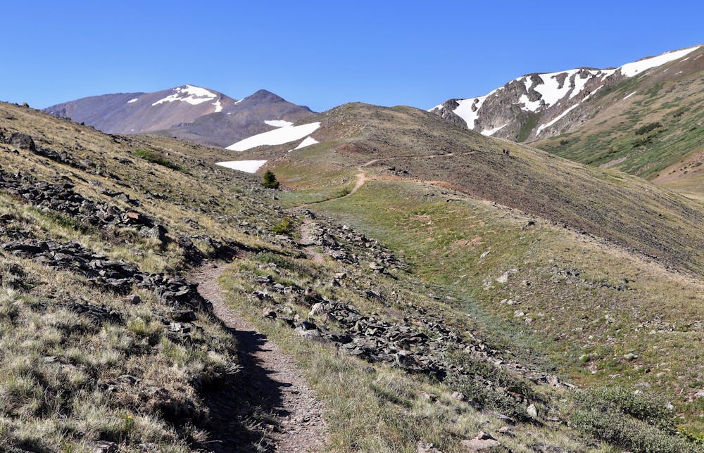
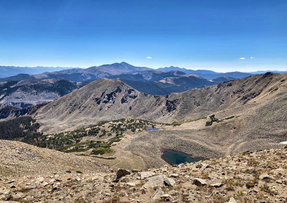
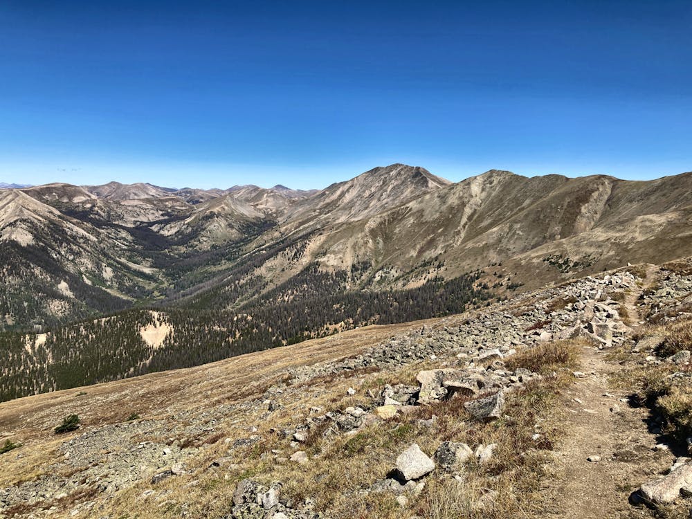
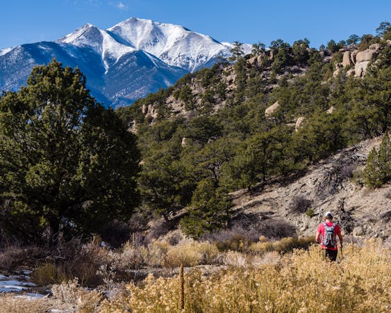
As you make your way north, the trail dances in and out of lush green river basins lined with aspen, fir, and pine, but also offers commanding views from far above the tree line on alpine mountaintops. In fact, after leaving Monarch Pass, the trail climbs to nearly 12,500' as it circles the prominent Bald Mountain, where the views are nothing short of epic. The aforementioned Waterdog Lakes can also be seen to the east as you follow the spine of the ridge.
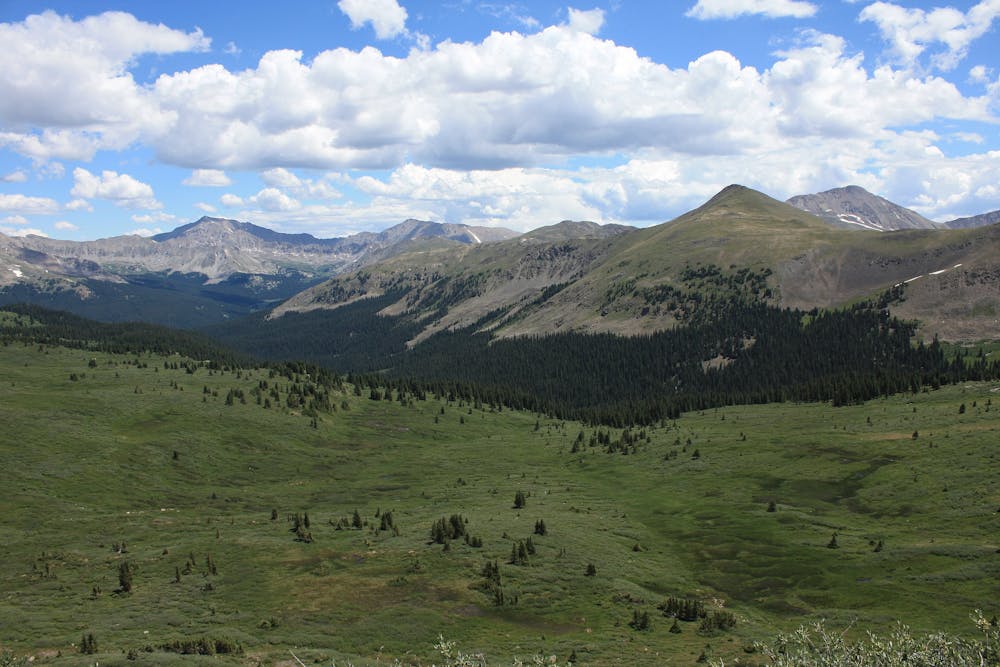
Ahead, the trail offers a welcoming break from the high mountain peaks and instead wanders through river basins alongside Vulcan Mountain (12,914'), Monumental Peak (13,334'), and Van Wirt Mountain (12,983'). One source also notes the abundance of ponds within the basin and a selection of stunning wildflowers throughout the summer.
Numerous remote trailheads can be accessed throughout this section of the CDT, including Tincup Pass Road, a remote forest service road that notes the official break between segments 20 and 21 of the trail. That said, this route is mapped all the way to Twin Lakes due to its prominence along a major road and vicinity to amenities, including the Twin Lakes General Store. Plenty of parking is available around Twin Lakes as well.
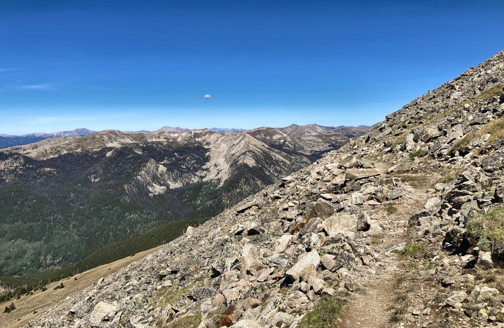
The northernmost portion of this segment explores the Collegiate Peaks Wilderness Area, just beyond the Cottonwood Pass Trailhead. Though there is no clear history on how the peaks earned their name, the range is "dotted with the evidence of mining operations from the last century," and old-growth Ponderosa Pine can be found along the eastern edge of the range, this source notes. The trees also 'bear evidence of stripping by bands of native Utes who inhabited the area and used the bark from living trees for clothing and food," the article continues.
If you're simply traveling through by car and hoping to summit one of Colorado's elusive 14ers, nearby Huron Peak is the state's second-lowest in stature at just 14,003', though Huron "is second to-to-none in sheer beauty," Scott & Nancy Anderson write. The Northwest Slopes route is also an easy-to-follow route "built to be solid and erosion resistant in order to withstand the many footsteps of eager 14er hikers."
Sources: https://continentaldividetrail.org/ https://continentaldividetrail.org/cdt-gateway-communities/salida/ https://www.summitpost.org/monumenthenorthernmost tal-peak/740870 https://en.wikipedia.org/wiki/CollegiatePeaksWilderness
Difficult
Hiking trails where obstacles such as rocks or roots are prevalent. Some obstacles can require care to step over or around. At times, the trail can be worn and eroded. The grade of the trail is generally quite steep, and can often lead to strenuous hiking.

The trail contains some obstacles such as outcroppings and rock which could cause injury.

In the high mountains or remote conditions, all individuals must be completely autonomous in every situation.
12 m away
One of the most scenic traverse trails in the state!
Difficult Hiking
3.9 km away
Climb to a set of beautiful alpine lakes nestled right below the Continental Divide.
Difficult Hiking

16 routes · Hiking
11 routes · Alpine Climbing · Hiking

10 routes · Hiking

40 routes · Hiking