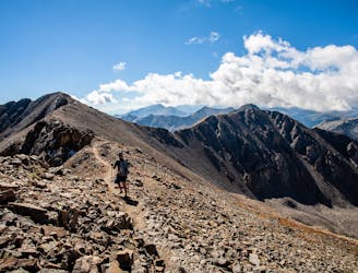
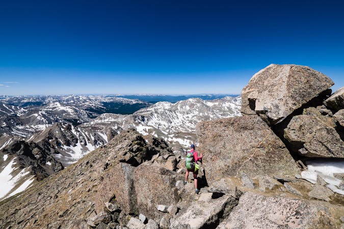
CDT: Twin Lakes (CO-82) to Copper Mountain (CO-91)
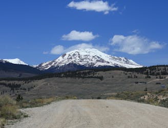
A narrow singletrack passage paralleling US-24 to the west as the CDT circles around Leadville.
Difficult Hiking
- Distance
- 93 km
- Ascent
- 3.3 km
- Descent
- 3.2 km
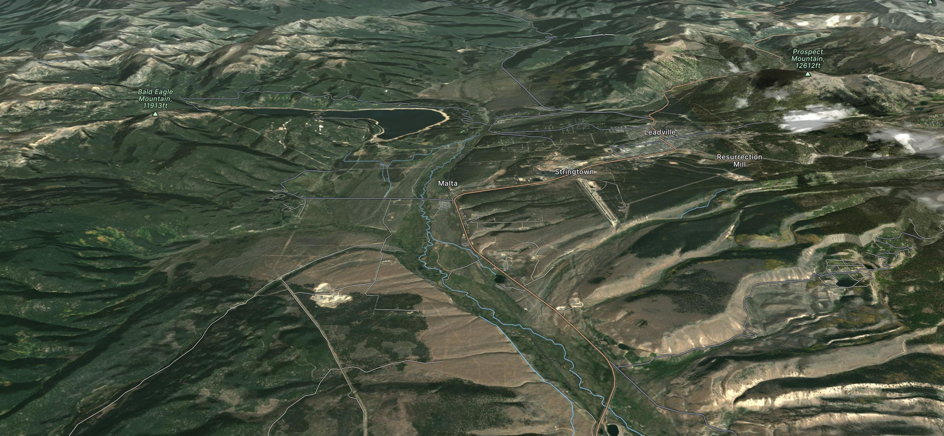
Explore Leadville with curated guides of the best hiking trails, mountain bike trails, and more. With over 31 3D trail maps in FATMAP, you can easily discover and navigate the best trails in Leadville.
No matter what your next adventure has in store, you can find a guide on FATMAP to help you plan your next epic trip.
Get a top trail recommendation in Leadville from one of our 15 guidebooks, or get inspired by the 31 local adventures uploaded by the FATMAP community. Start exploring now!
A narrow singletrack passage paralleling US-24 to the west as the CDT circles around Leadville.
Difficult Hiking
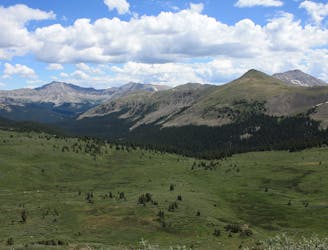
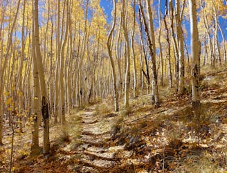
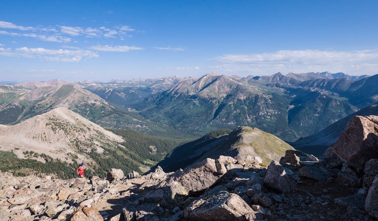
A stunning section of the CDT known for its views of Monumental Peak and passage through the Collegiate Peaks Wilderness.
Difficult Hiking
An autumn backpacking excursion in Missouri Gulch is the best way to experience the splendor of 14,067' Missouri Mountain.
Extreme Hiking
One of the most-coveted 100-mile trail running races in the world.
Severe Trail Running
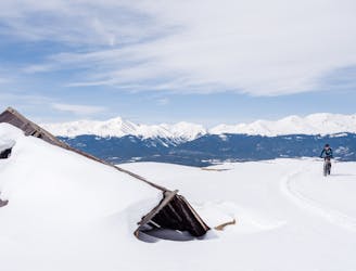
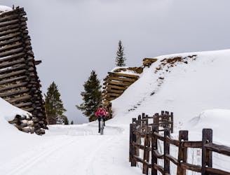
A glorious combo of Leadville mining history and beautifully groomed trails.
Moderate Fat biking
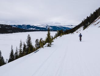
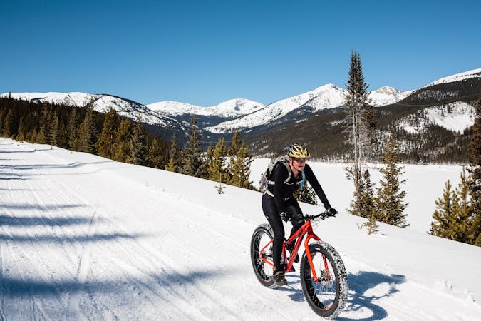
A stunningly-beautiful, high-elevation loop ride around Turquoise Lake
Moderate Fat biking
Enjoy 12 miles of Leadville's mining history.
Moderate Fat biking
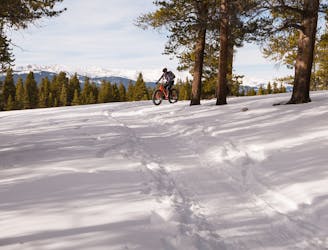
Over 9 miles of groomed singletrack at 10,000 feet!
Easy Fat biking
10 routes · Alpine Climbing · Hiking

26 routes · Mountain Biking

16 routes · Hiking

25 routes · Mountain Biking

7 routes · Alpine Climbing · Hiking
5 routes · Fat biking
13 routes · Alpine Climbing · Hiking

46 routes · Alpine Climbing · Hiking