627 m away
Timberline Trail at Colorado Mountain College
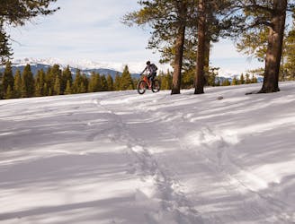
Over 9 miles of groomed singletrack at 10,000 feet!
Easy Fat biking
- Distance
- 14 km
- Ascent
- 138 m
- Descent
- 137 m


There are multiple access points for this amazing 12-mile loop, but the best is at Dutch Henry Hill, a huge tubing area on the outskirts of Leadville. It is right off Highway 24 and has plenty of parking.
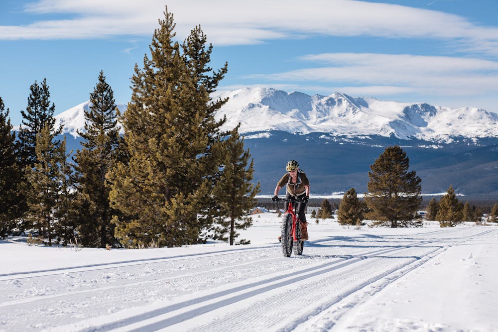
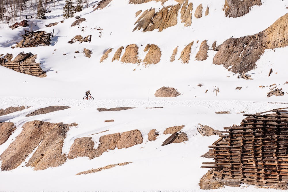
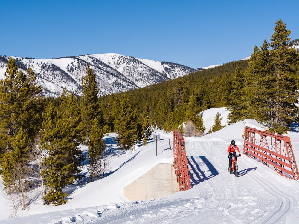
As described on the Mineral Belt Trail website: “The Mineral Belt Trail is an 11.6-mile all-season non-motorized ADA-accessible route with numerous trailheads and access points. Approximately six miles of this trail meanders through the historic Leadville Mining District. The trail is designed for bicycles, walkers, wheelchairs, strollers, in-line skaters and long-boarders. Wintertime enthusiasts will find the trail snowcat-groomed, affording freestyle and classic Nordic skiing, snowshoeing and winter biking.”
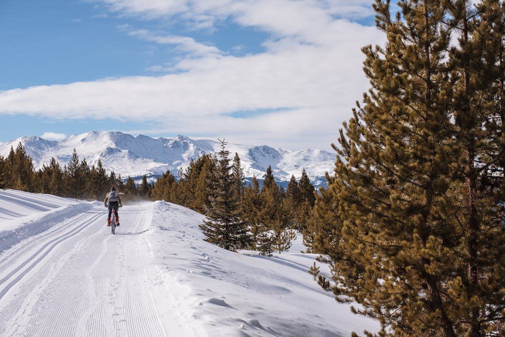
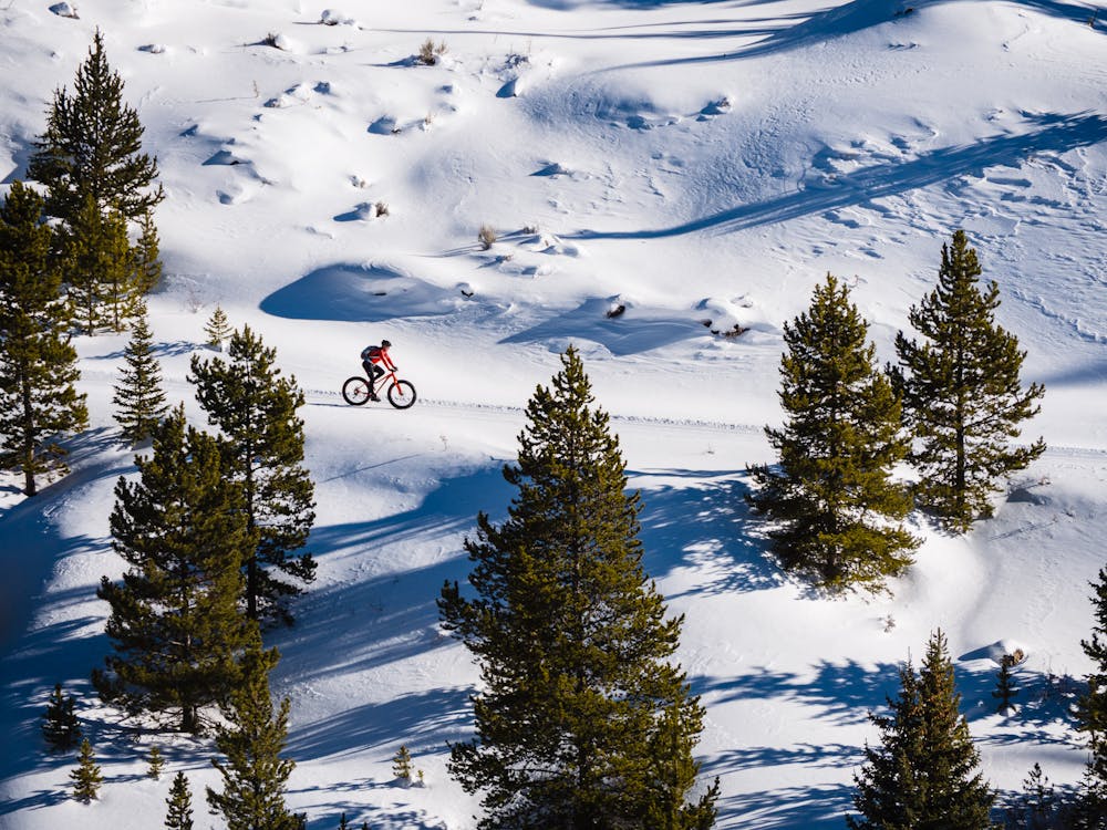
Ask any local fat biker, and he/she will describe a perfect day on the Mineral Belt Trail as dry, firm, fresh corduroy and warm enough sunshine to ride in knickers, short-sleeves and regular biking gloves. On days like that, fat bike tires barely kiss, much less crush, the corduroy. The amazing thing is, that describes MOST winter days on the trail!
This trail is a rarity in that it allows every non-motorized-user access, with a few common courtesy rules: walkers, runners, snowshoers and fat bikers must stay out of the groomed classic ski tracks. Fat bikers should ride as far to the right as is practicable and of course, greet other users with a smile and a wave.
The best direction to ride the multi-directional loop is clockwise, getting the portion that goes through Leadville out of the way first, and making for a super-fun descent on the entire second half. The first stretch crosses numerous town roads, including Highway 24, and is heavily trafficked by walkers with dogs. Once past the solar panels in town, the rest of the loop avoids road crossings.
The entire loop is at or above 10,000' elevation, so flatlanders may really appreciate the periodic historical markers. These markers provide fascinating historical information, and coincidentally, a chance to try to fill one's lungs with precious oxygen! There are also four shelters, after mile markers 3, 5, 7, and 10, if a bit longer respite is desired.
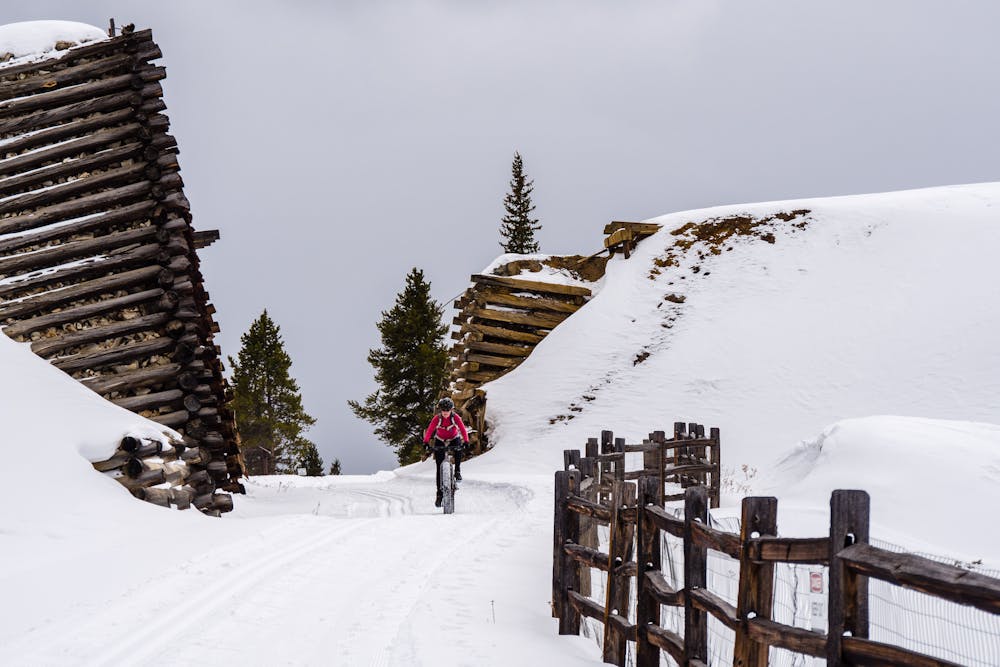
There are two lovely bridges to cross and numerous historic mining structures along the way, whose old timbers add some artistic geometry to the scenery.
As with all high-elevation rides, carry extra layers; the fast, fun second half is shaded by early afternoon. If fingers get cold, there are ample mountain views to encourage one to stop, gawk, and warm up those digits.
Sources: http://www.mineralbelttrail.com/
Moderate
627 m away

Over 9 miles of groomed singletrack at 10,000 feet!
Easy Fat biking
3.8 km away
A glorious combo of Leadville mining history and beautifully groomed trails.
Moderate Fat biking
5.7 km away
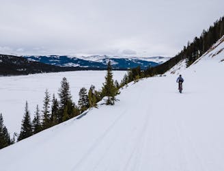
A stunningly-beautiful, high-elevation loop ride around Turquoise Lake
Moderate Fat biking
5 routes · Fat biking