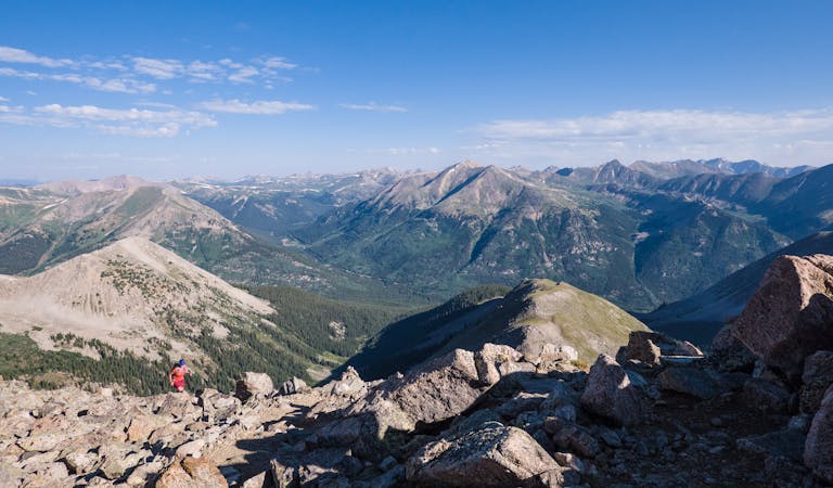
Belford-Oxford Loop
Two 14er summits, a beautiful pass, and 6,146' elevation gain over 12.2 miles is a wonderful way to spend a day in the Sawatch Range.
Severe Hiking
- Distance
- 19 km
- Ascent
- 1.8 km
- Descent
- 1.8 km
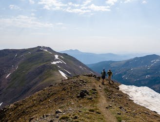
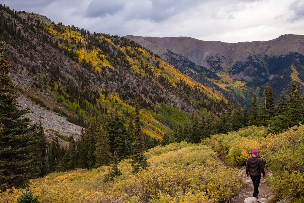
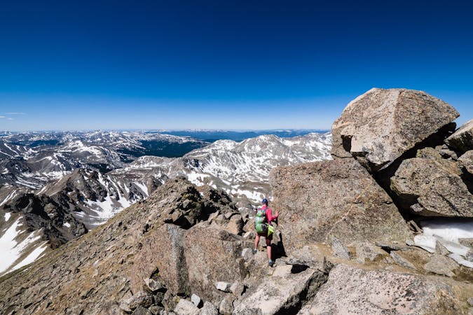
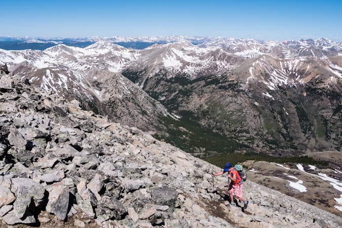
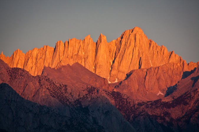
An autumn backpacking excursion in Missouri Gulch is the best way to experience the splendor of 14,067' Missouri Mountain.
Hiking Extreme

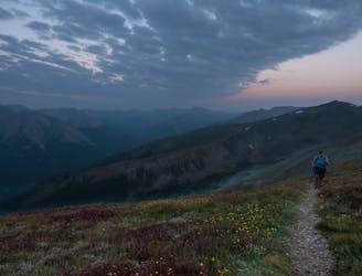
The Northwest Ridge route to Missouri Mountain's 14,067' summit is not the longest or most difficult to do as a day hike, but it is well-worth the time and effort to make it a backpacking adventure. Missouri Gulch is a spectacular place in the fall when the colors are at their prime. Spend a few days and add in the Mt. Belford and Mt. Oxford duo for a 14er trifecta!
Whether a backpack trip or a day hike, the adventure begins at the 9,640' Missouri Gulch trailhead and almost immediately switchbacks up the many, many steep switchbacks through the trees. The first sign that the switchbacks are ending is a clearing with the remnants of a little cabin. Some choose to camp here, but there are much better spots once in Missouri Gulch.
Keep trekking into the gulch, and if backpacking, keep an eye out for the perfect spot to pitch a tent. Keep right toward Elkhead Pass at the first intersection as left goes to Mt. Belford and Oxford.
The next intersection goes left to Elkhead Pass and right to the well-defined trail toward Missouri Mountain's summit.
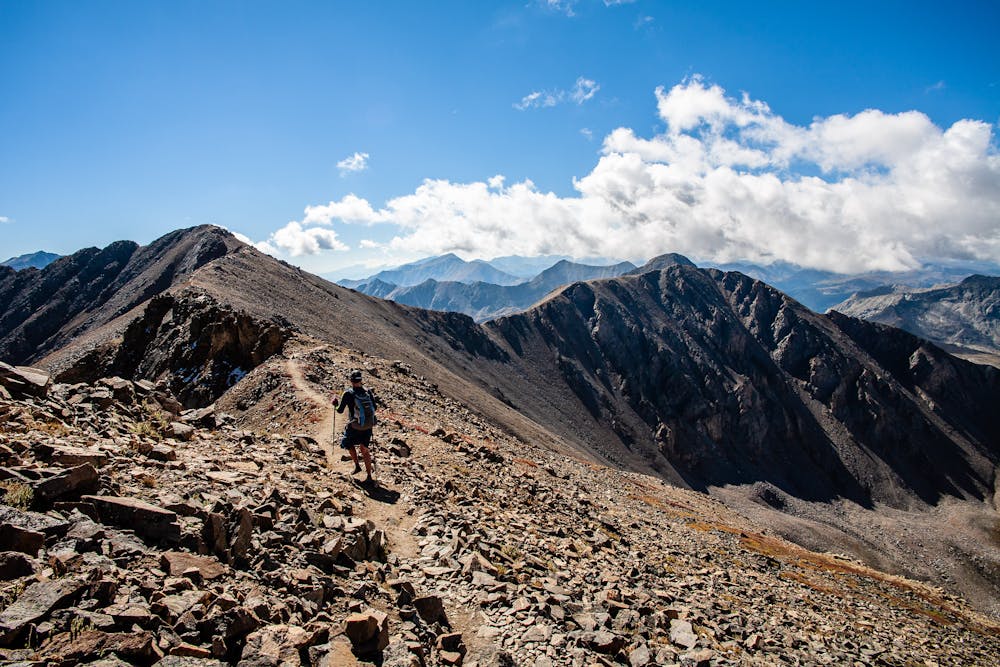
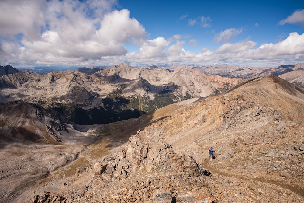
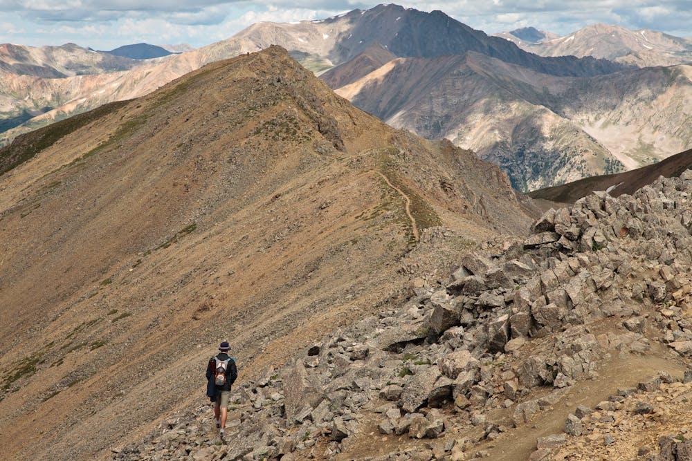
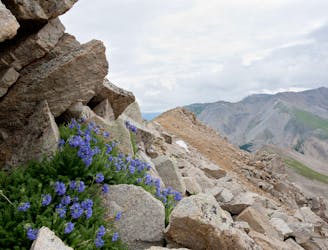
Once on the ridge, be aware that there is a bit of a “crux” that is known for creating anxiety, as well as the nickname “Misery” Mountain. As in all mountain hiking, it is wise to know one's own limits and comfort level. The rock obstacles are not really as discomfiting as the steep scree slope immediately after. Using trekking poles is quite helpful here.
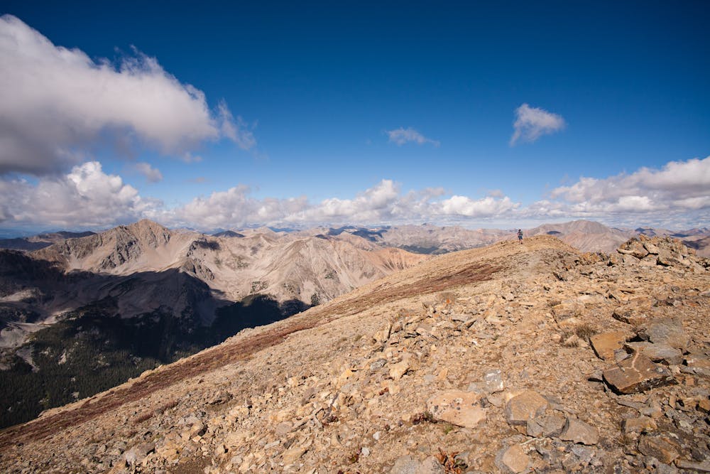
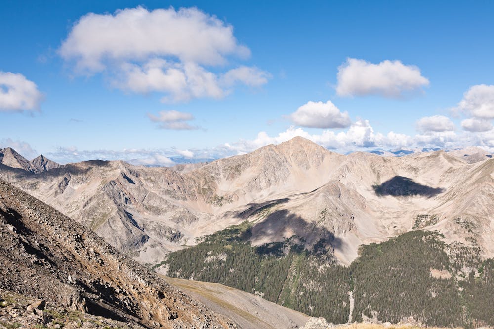
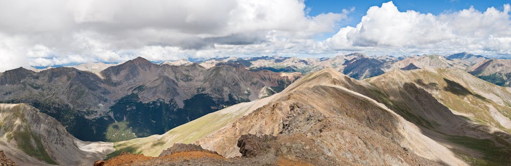
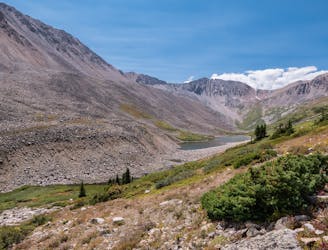
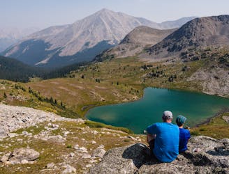
The rest of the hike follows the ridge to the summit of 14,067' Missouri Mountain. From the summit, there are awesome views of Missouri Gulch, Elkhead Pass, Mt. Belford, and 13ers Iowa Peak and Emerald Peak.
An important note about descending from Missouri Mountain's summit back to Missouri Gulch: There is NO “easier” or “quicker” way down! The east ridge of Missouri is composed of seriously rotten rock and has been the site of numerous search and rescue missions. Descend the same route of ascent!
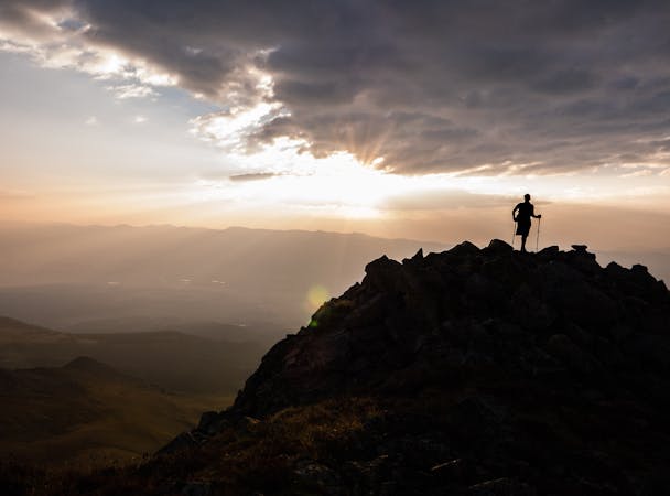
Returning to an idyllic campsite is the ideal way to end a perfect day in the Sawatch Range, particularly in autumn!
Extreme
Scrambling up mountains and along technical trails with moderate fall exposure. Handholds are necessary to navigate the trail in its entirety, although they are not necessary at all times. Some obstacles can be very large and difficult to navigate, and the grades can often be near-vertical. The challenge of the trail and the steepness of the grade results in very strenuous hiking. Hikes of this difficulty blur the lines between "hiking" and "climbing".

Some trail sections have exposed ledges or steep ascents/descents where falling could cause serious injury.
Little chance of being seen or helped in case of an accident.
Two 14er summits, a beautiful pass, and 6,146' elevation gain over 12.2 miles is a wonderful way to spend a day in the Sawatch Range.
Severe Hiking
7.7 km away
A rugged backcountry hike to a beautiful alpine lake.
Difficult Hiking
8.5 km away
A gorgeous hike to a breathtaking alpine lake and pass.
Moderate Hiking
8.6 km away
Second lowest in stature, 14,003' Huron Peak is second-to-none in sheer beauty.
Severe Hiking
9.4 km away
At 14,433', Mt. Elbert is the tallest mountain in Colorado, and second tallest in the lower 48 states, making its summit a much sought-after destination.
Severe Hiking
10 routes · Alpine Climbing · Hiking

16 routes · Hiking
13 routes · Alpine Climbing · Hiking
6 routes · Alpine Climbing · Hiking

46 routes · Alpine Climbing · Hiking
5 routes · Alpine Climbing · Hiking
10 routes · Alpine Climbing · Hiking