1 m away
Huron Peak - Northwest Slopes
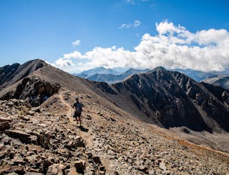
Second lowest in stature, 14,003' Huron Peak is second-to-none in sheer beauty.
Severe Hiking
- Distance
- 10 km
- Ascent
- 1 km
- Descent
- 1 km
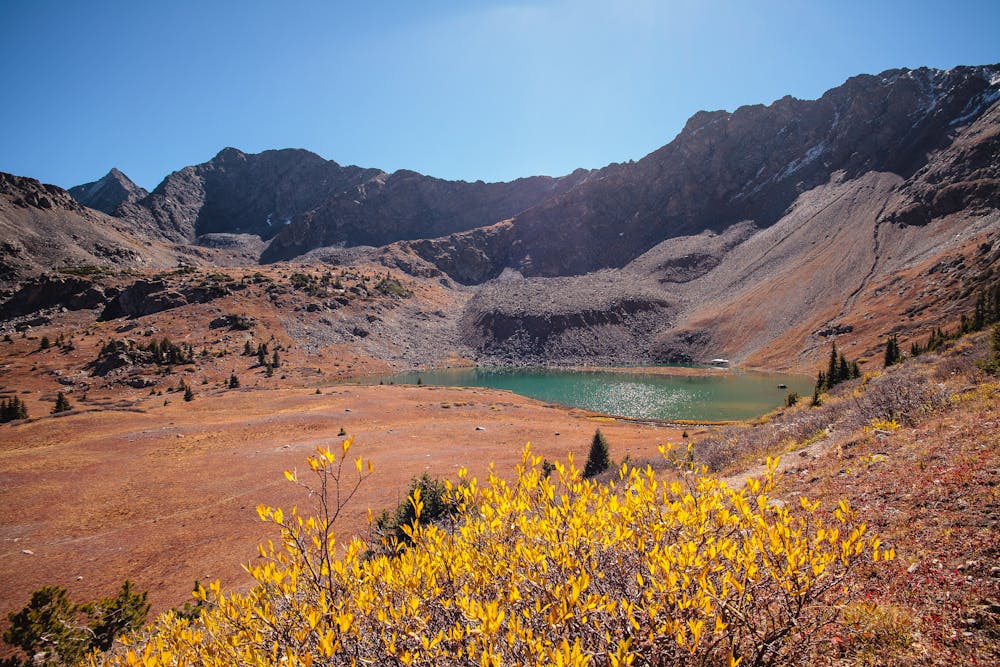
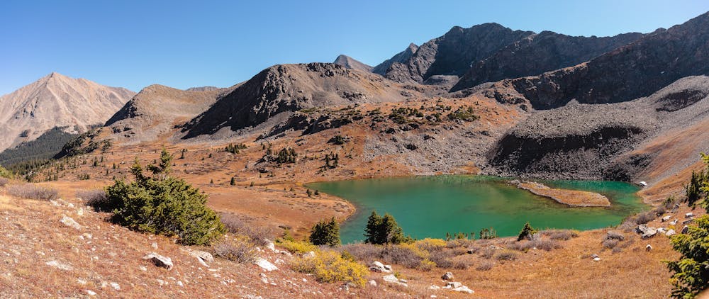
A gorgeous hike to a breathtaking alpine lake and pass.
Hiking Moderate

For those with a high-clearance 4WD vehicle, this is an 8.7-mile day hike. For those without, it becomes a 12.7-mile outing by adding a 2-mile road walk to each end. Since the 4x4 trailhead also serves as access to 14,003' Huron Peak, it is frequently possible to grab a ride with fellow hikers. Though the trailhead access is long, with or without the final 4WD miles, the hike is truly worth the drive.
The 2WD South Clear Creek trailhead is located in the tiny town of Winfield at the end of CR390, 12 miles of dirt road from the intersection with Hwy 24 between Leadville and Buena Vista.
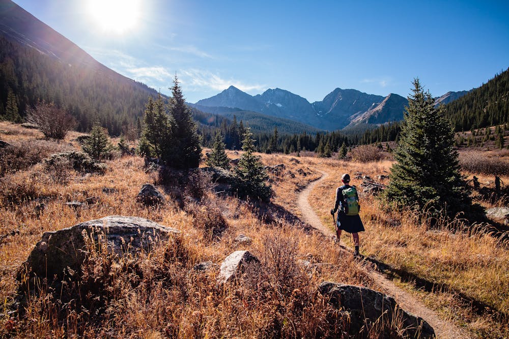
From the 4WD trailhead, the Lake Ann Trail, which is concurrent with the Colorado Trail (CT) and Continental Divide Trail (CDT), heads straight where the Huron Peak Trail heads up to the left. The trail begins wide and smooth, then becomes beautifully constructed singletrack. For the first 2 miles, the trail gains elevation very gently as it passes through a beautiful basin with amazing views of the Three Apostles rising majestically ahead. This 2-mile segment is a great hike for little kids or flatlanders still adjusting to altitude.
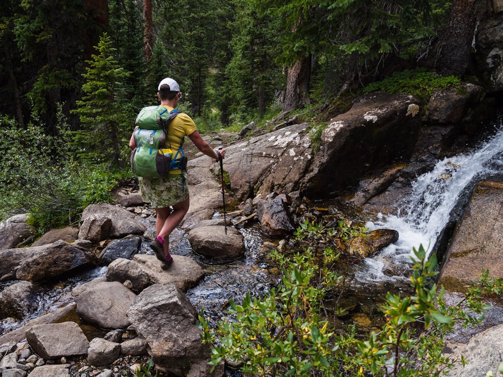
At the 2-mile point, the trail splits; a sign points straight to the Apostle Basin and right to stay on the Lake Ann (CT/CDT) trail. The trail crosses the creek on a lovely little log bridge and quickly commences climbing steeply through the woods. Along the way, it is possible to make a little side trip or two to search out some pretty little waterfalls.
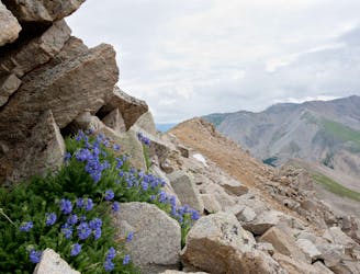
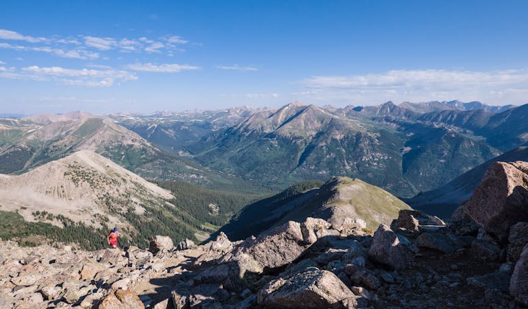
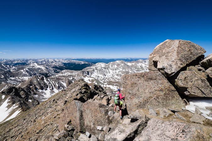
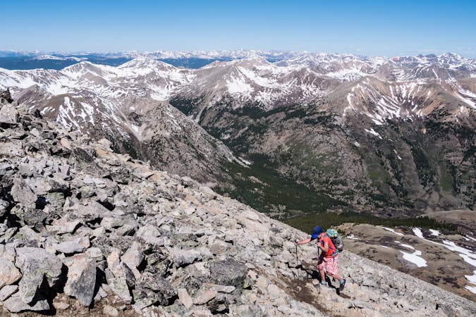
Once above treeline, the views become as breathtaking as the endeavor! This is a good time to slow down and drink it all in while letting your heart rate slow and your lungs fill.
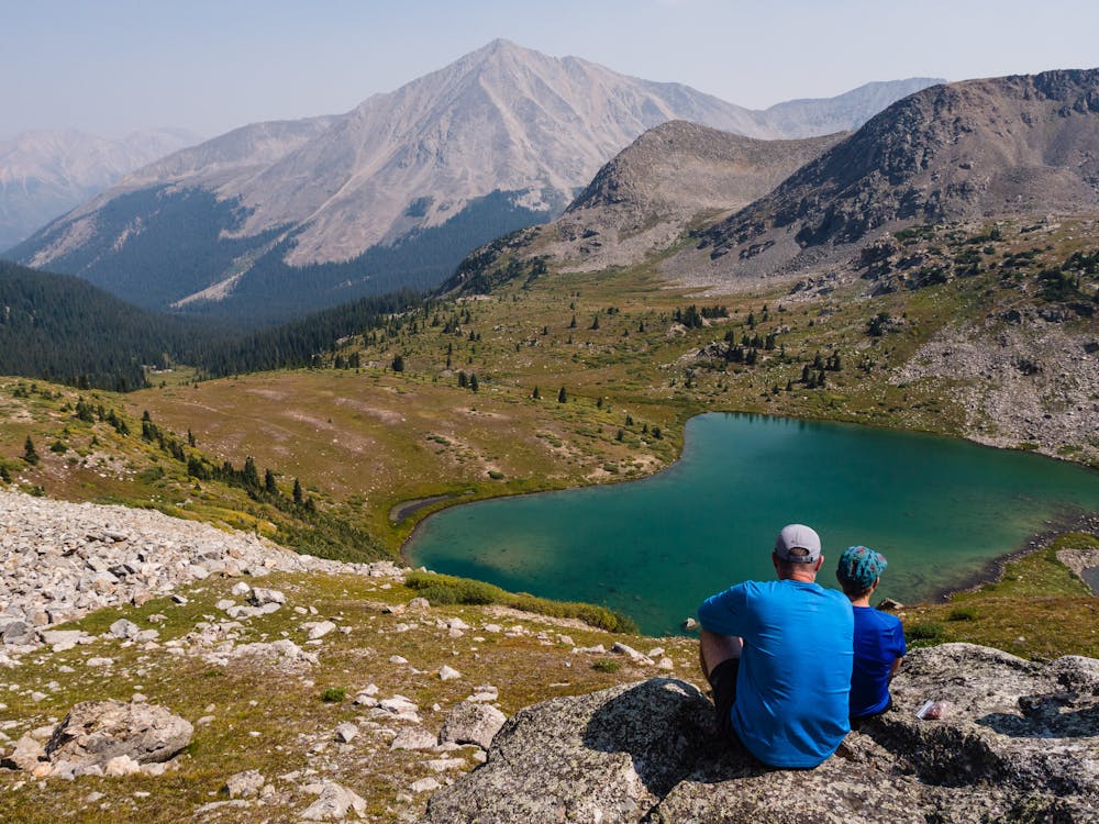
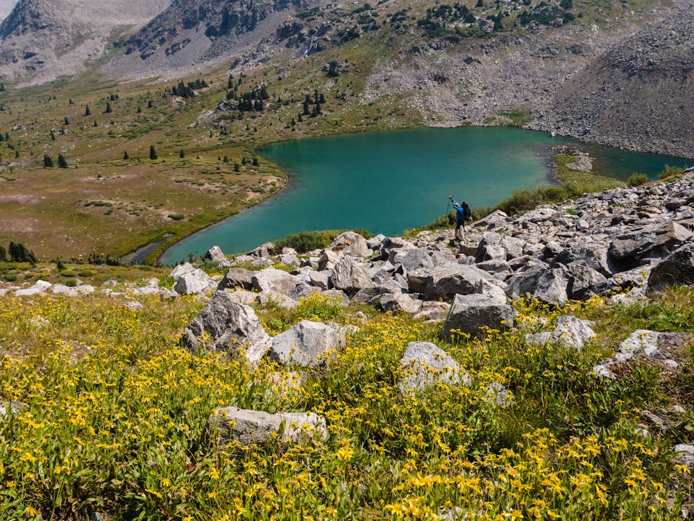
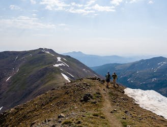
Where the trail splits just before the lake, it is time to evaluate the weather and the group's energy level. To shorten the roundtrip distance by 2 miles, go left to the lake. If there is no chance of storms and the group is still strong, stay on the CT/CDT another mile farther and 800' higher to gain the 12,600' pass on the Continental Divide. The pass opens up views of the Taylor Valley to the south, Lake Ann below, and mountains galore in every direction.
Either choice will allow for a satisfying adventure; always keep in mind that everyone has to get back to the trailhead safely!
Moderate
Hiking along trails with some uneven terrain and small hills. Small rocks and roots may be present.

The path is on completely flat land and potential injury is limited to falling over.

In the high mountains or remote conditions, all individuals must be completely autonomous in every situation.
1 m away
Second lowest in stature, 14,003' Huron Peak is second-to-none in sheer beauty.
Severe Hiking
8.5 km away
Two 14er summits, a beautiful pass, and 6,146' elevation gain over 12.2 miles is a wonderful way to spend a day in the Sawatch Range.
Severe Hiking
8.5 km away
An autumn backpacking excursion in Missouri Gulch is the best way to experience the splendor of 14,067' Missouri Mountain.
Extreme Hiking
10 routes · Alpine Climbing · Hiking

16 routes · Hiking
13 routes · Alpine Climbing · Hiking
6 routes · Alpine Climbing · Hiking

46 routes · Alpine Climbing · Hiking