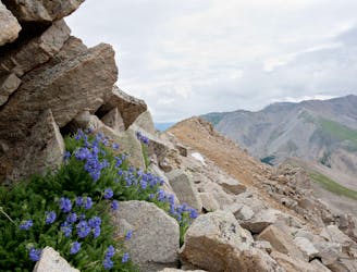
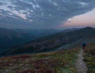
Missouri Mountain
An autumn backpacking excursion in Missouri Gulch is the best way to experience the splendor of 14,067' Missouri Mountain.
Extreme Hiking
- Distance
- 16 km
- Ascent
- 1.4 km
- Descent
- 1.4 km
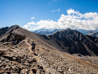
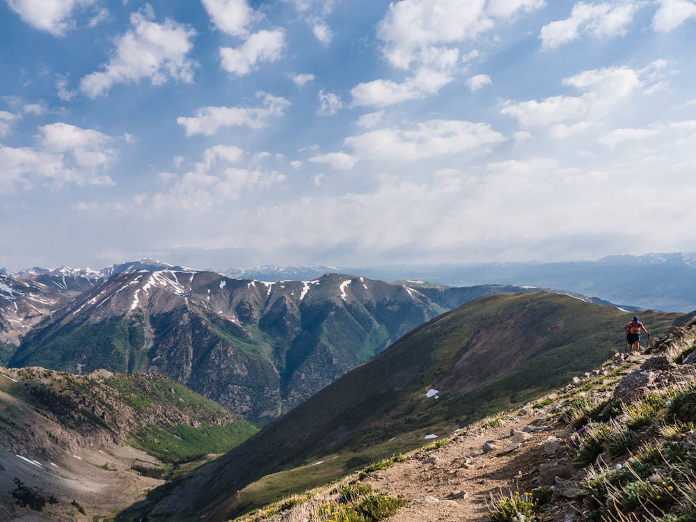
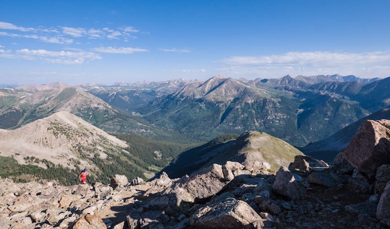
Two 14er summits, a beautiful pass, and 6,146' elevation gain over 12.2 miles is a wonderful way to spend a day in the Sawatch Range.
Hiking Severe

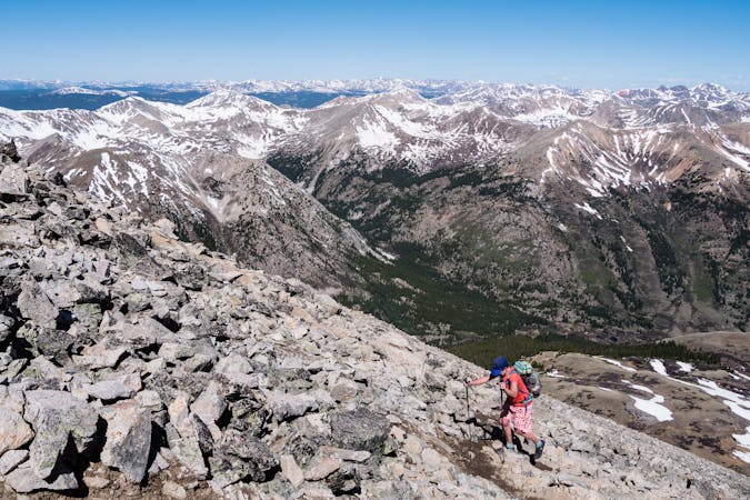
4,547' of climbing in less than four miles to stand on top of 14,197' Mt. Belford is a haul, but be forewarned... that is just the beginning! Those four miles are comprised of many, many switchbacks, both below treeline and ascending Belford's northwest shoulder. The trail is a good one, however, and easy to follow all the way up.
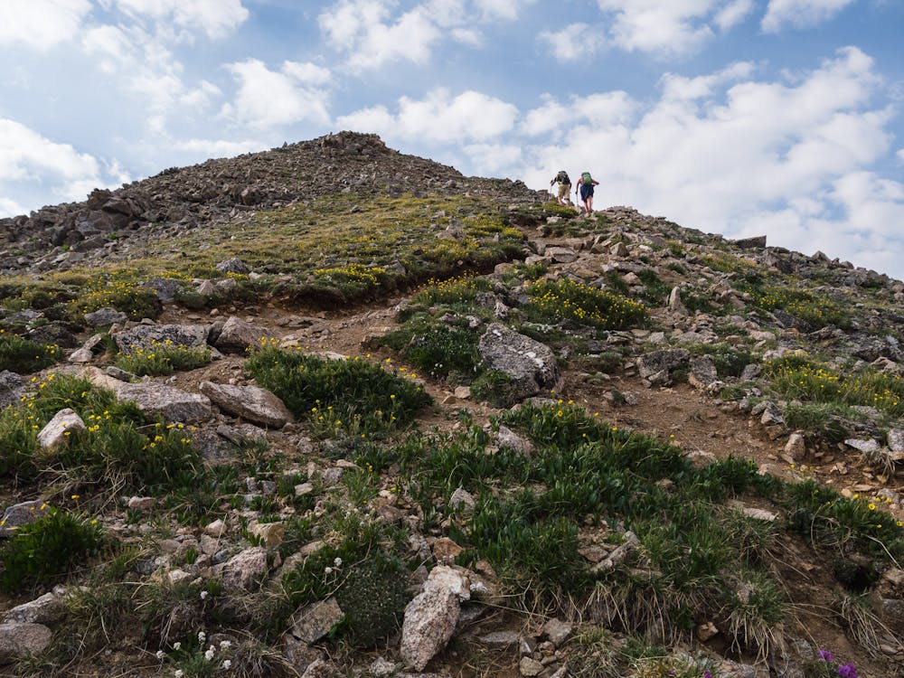
Gaining Mt. Belford's summit is much more straightforward than that of most other 14ers as it does not require any talus scrambling. At the summit, spend a bit of time recovering from the steep switchbacking ascent before beginning the traverse over to 14,153' Mt. Oxford.
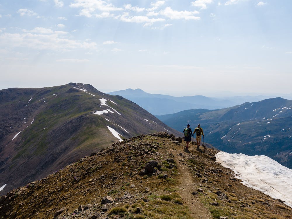
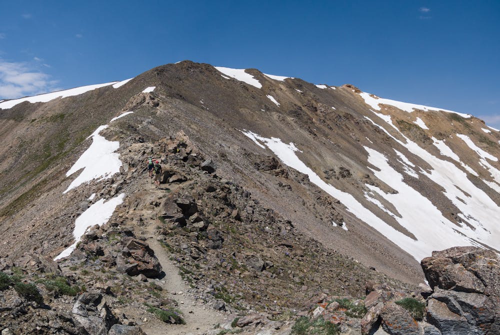
The descent to the Bel-Ox saddle is fairly steep and takes some rock-scrambling. On the way to the rocky ridge descent, take a look at the trail that heads off to the right... that is the trail used on the loop return via Elkhead Pass.
Once past the rocky ridge, the remaining trail to Mt Oxford's summit is visible and uncomplicated. Be aware that the out-and-back traverse is nearly three-miles roundtrip and is above treeline the entire time. Before embarking on it, be sure to assess the weather, as well as your energy and strength!
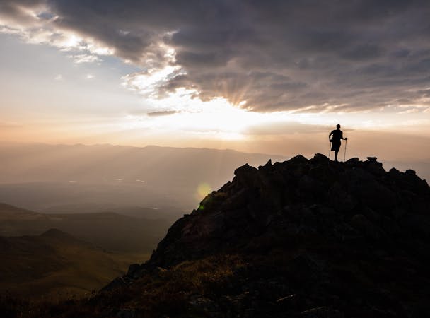
Savor the second 14er summit of the day, then return on the same traverse trail to the junction with the trail to Elkhead Pass. This loop route, descending via Elkhead Pass, is far easier on the knees than reascending Mt. Belford and descending Belford's shoulder switchbacks. But the major advantage for a view-junkie is that it is drop-dead gorgeous!
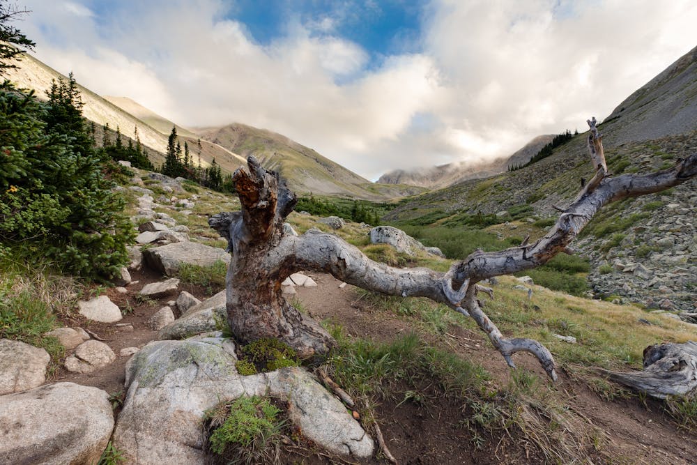
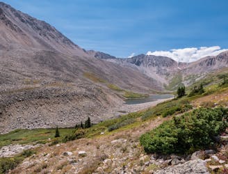
At Elkhead Pass, enjoy the view down into Pine Creek Basin, before dropping down into Missouri Gulch for the stroll back to the TH.
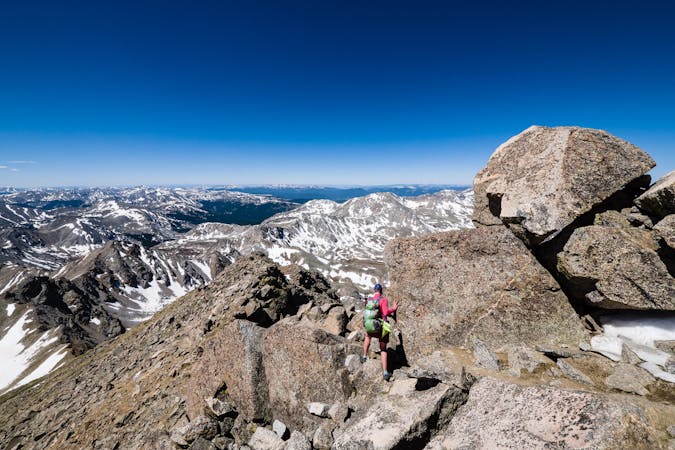
Severe
Hiking challenging trails where simple scrambling, with the occasional use of the hands, is a distinct possibility. The trails are often filled with all manner of obstacles both small and large, and the hills are very steep. Obstacles and challenges are often unexpected and can be unpredictable.

Some trail sections are extremely exposed where falling will almost certainly result in serious injury or death.

Away from help but easily accessed.
An autumn backpacking excursion in Missouri Gulch is the best way to experience the splendor of 14,067' Missouri Mountain.
Extreme Hiking
7.7 km away
A rugged backcountry hike to a beautiful alpine lake.
Difficult Hiking
8.5 km away
A gorgeous hike to a breathtaking alpine lake and pass.
Moderate Hiking
8.6 km away
Second lowest in stature, 14,003' Huron Peak is second-to-none in sheer beauty.
Severe Hiking
9.4 km away
At 14,433', Mt. Elbert is the tallest mountain in Colorado, and second tallest in the lower 48 states, making its summit a much sought-after destination.
Severe Hiking
10 routes · Alpine Climbing · Hiking

16 routes · Hiking
13 routes · Alpine Climbing · Hiking
6 routes · Alpine Climbing · Hiking

46 routes · Alpine Climbing · Hiking
5 routes · Alpine Climbing · Hiking
10 routes · Alpine Climbing · Hiking