The trail is well-defined at the outset and is signed at all junctions with intersecting trails. The first such junction comes a third-mile in. Head right; the other way goes to Interlaken. The trail climbs steeply on a rocky benchcut trail with beautiful views before crossing Willis Creek on a little wooden bridge.
From the bridge, the trail, which is also now part of the Continental Divide Trail (CDT), continues to ascend alongside Willis Creek until the next junction. At this point, the CDT/ Little Willis Trail goes left to Hope Pass, and the Big Willis Trail heads right as it leads to Willis Lake.
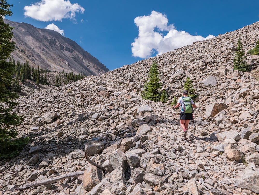
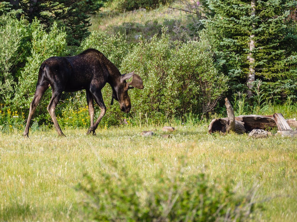
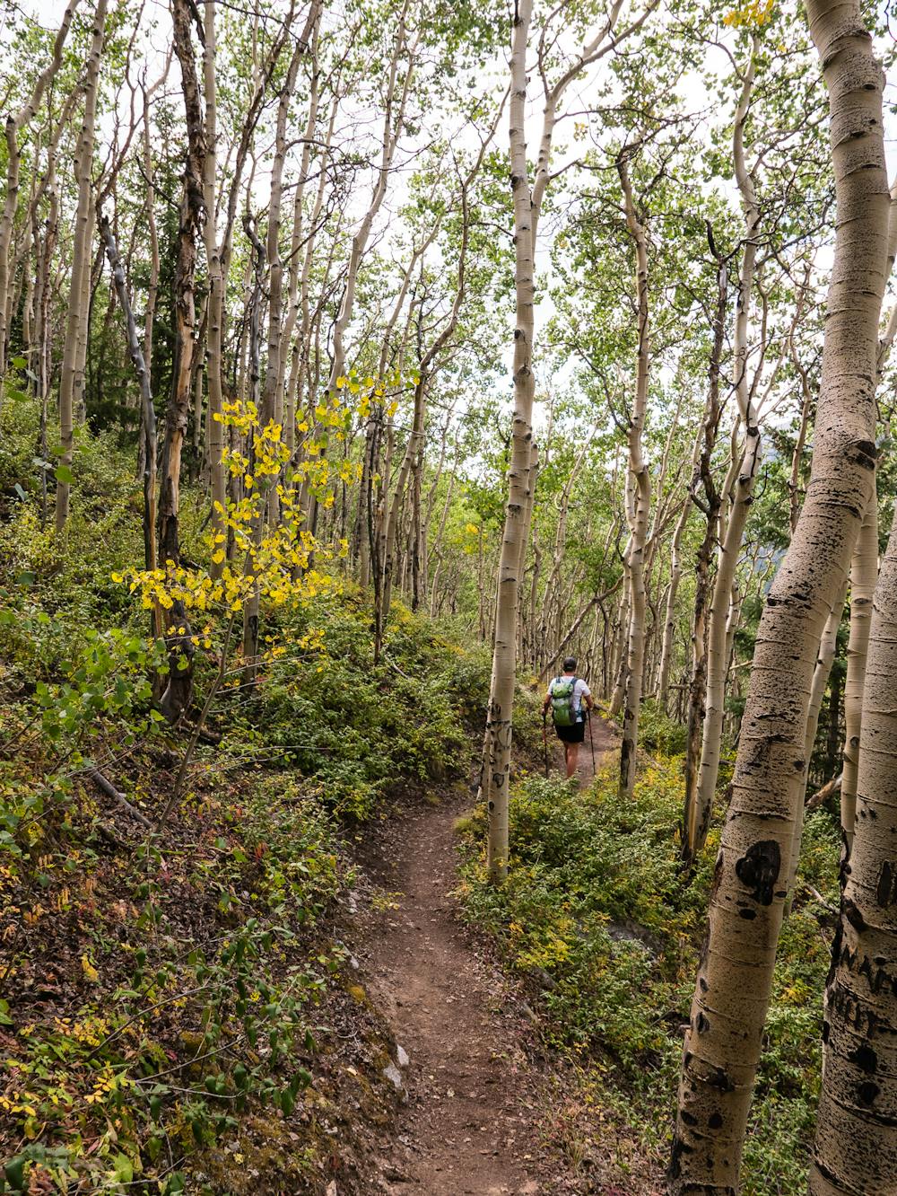
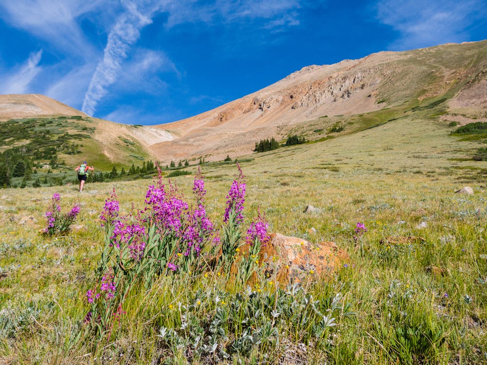
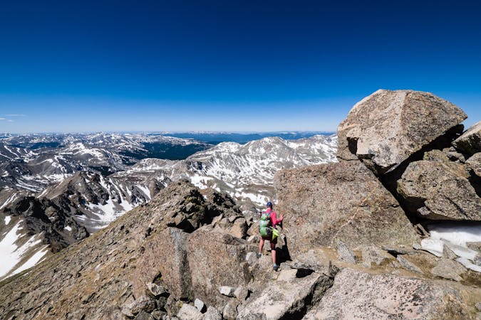
At the split, the trail becomes noticeably more rugged and even more beautiful. The route progresses steeply up a deep ravine and through a meadow where moose have been spotted. From there, a wonderfully-constructed trail traverses a talus field, making progress quite enjoyable.
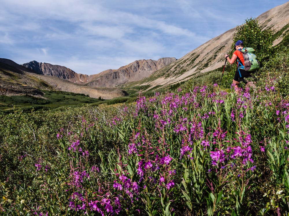
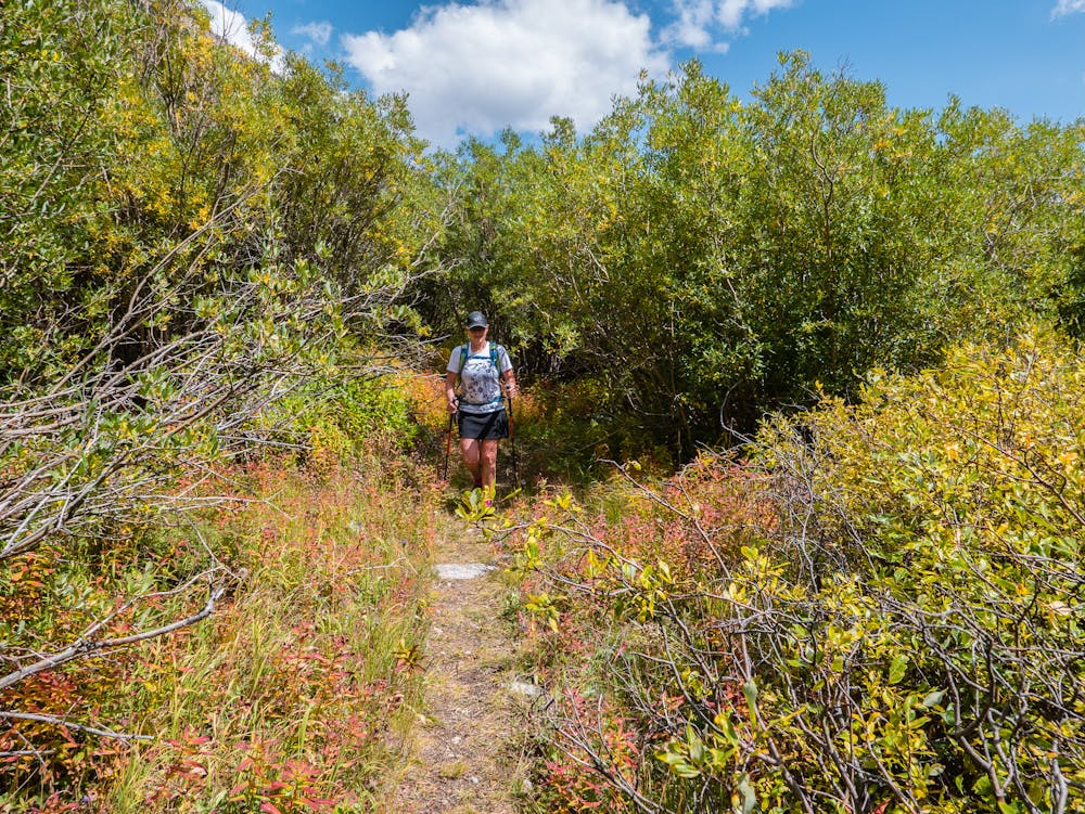
The remaining trail gets interesting as it passes through a significant stretch of head-high willows, briefly opening up as it passes 13,783' Rinker Peak's SE slope. There is, technically, a path through the tangled willows, but certainly not a wide, visible one! The presence of willows is indicative of the wetland terrain that passes a large pond en route to Willis Lake.
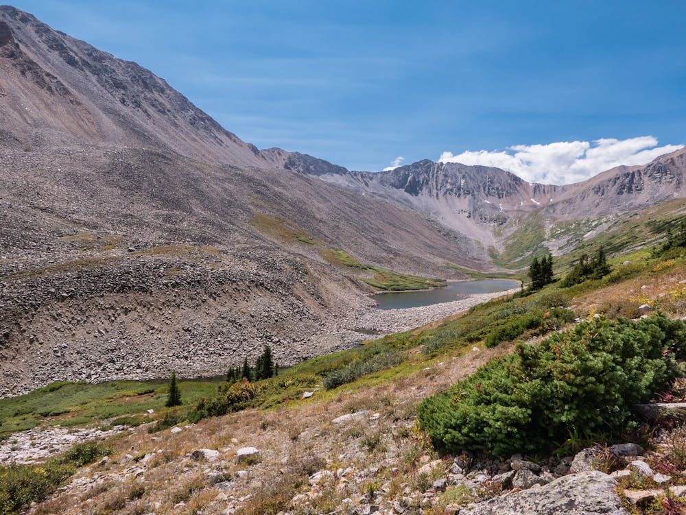
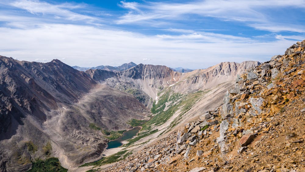
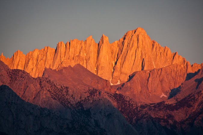
After busting out of the willows, at long last, Willis Lake appears. The lake is a long, narrow one sitting at the base of the western slope of the magnificent 13,933' Mt. Hope.
For determined flyfishers willing to tackle the hike in, Willis Lake is a source of some sizable cutthroat trout. For peak baggers looking to summit a trio of 13ers, Rinker and the Twin Peaks are accessible from nearby. For both fishers and climbers, Willis Lake has some appealing tent sites that make the hike in a bit less daunting.
For anyone up for a 10.5-mile hike, Willis Lake makes the effort eminently rewarding!