FATMAP by Strava

La Plata Peak: Northwest Ridge

Salida

14,336-foot La Plata Peak's Northwest Ridge Route may be the “standard” route, but it is certainly an above average hike!

Hiking Extreme

Distance
15 km
Ascent
1.3 km
Descent
1.3 km
Duration
5-6 hrs
Low Point
3.1 km
High Point
4.4 km
Gradient
17˚
La Plata Peak: Northwest Ridge Map

La Plata Peak is the 5th highest 14er in Colorado and one of the most enjoyable to summit. The 10,160' trailhead is one of the most easily accessed, since the large parking area is adjacent to paved Hwy 82, aka Independence Pass. The 9.5-mile roundtrip hike itself is not necessarily the easiest, but the trail is excellent and the views are fantastic!

Description

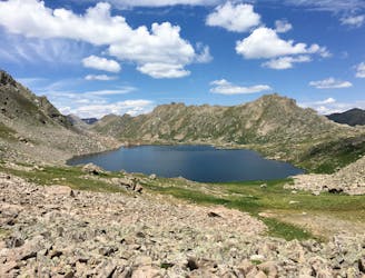
The first quarter mile is on the South Fork Lake Creek road, which is a good way to get the legs going before the real hike begins at a signed trail on the left. Follow the trail as it crosses a major metal/wood bridge over the South Fork of Lake Creek. Take a minute to gawk at the creek as it tumbles loudly down through the rocky gorge.

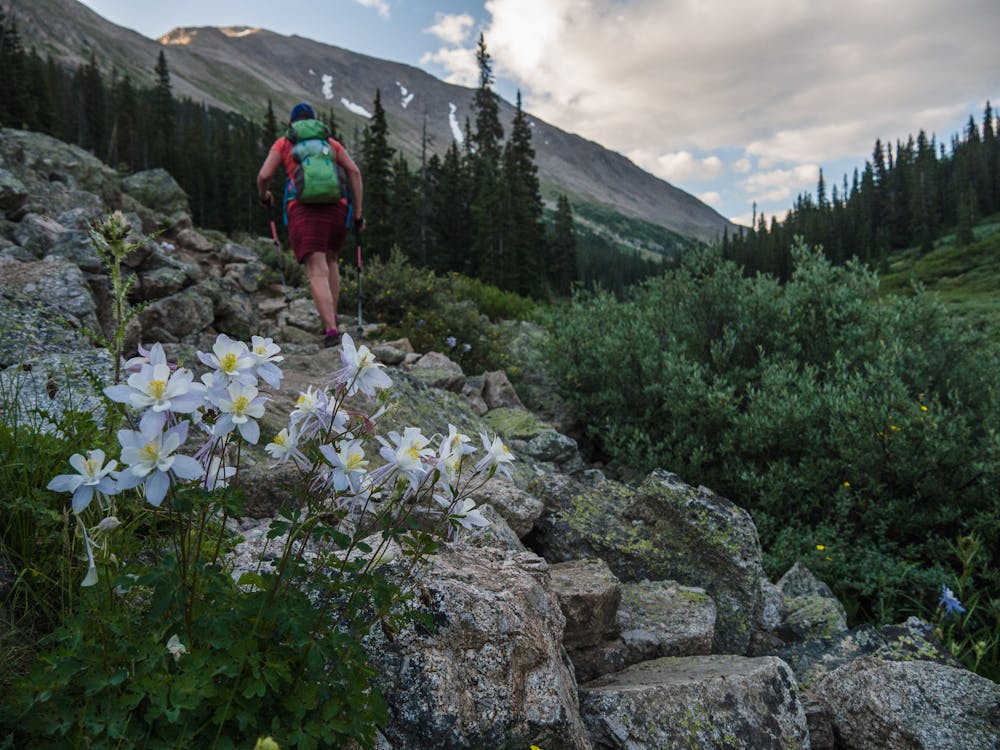
The trail is quite lovely as it travels up, with log steps up a steep climb along the way. Mentally thank the trail builders who installed those steps; they definitely make things a bit easier.

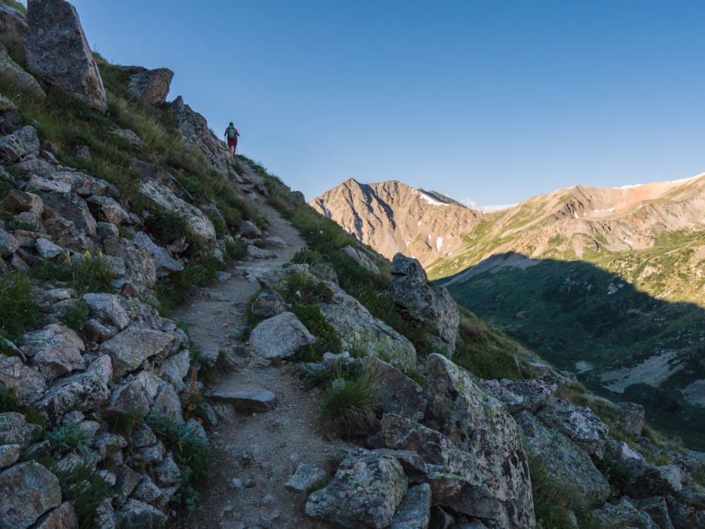
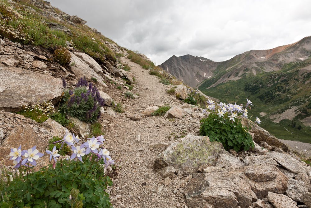
Eventually, the vistas open up as the ascent gets steeper. Fortunately, there are switchbacks to lessen the angle and plenty of gorgeous views to compensate for the work it takes to gain the ridge.

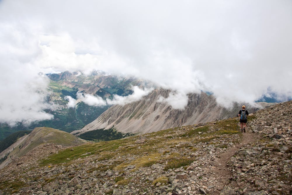
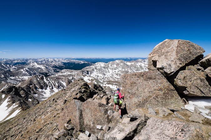
The last 1.25 miles travels up the ridge through talus fields, so keep your eye out for the descent route that exists for much of the way. The key to a 14er hike like La Plata's Northwest Ridge Route is having the ability to identify the best path through talus. Pay attention, take your time, and study the terrain before progressing.

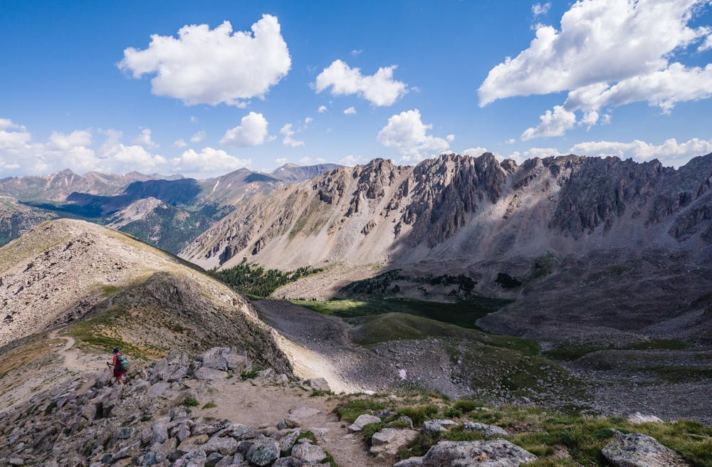
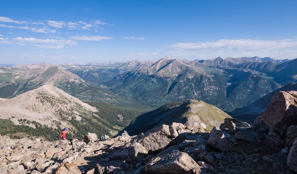
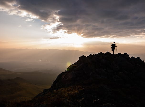
Navigating the talus is part of what makes the summit of La Plata Peak so immensely satisfying—it is not just a walk-in-the-park. Relax and soak in the 360° views before navigating the descent back through the talus, taking care to descend the same way you ascended.

Difficulty

Extreme

Scrambling up mountains and along technical trails with moderate fall exposure. Handholds are necessary to navigate the trail in its entirety, although they are not necessary at all times. Some obstacles can be very large and difficult to navigate, and the grades can often be near-vertical. The challenge of the trail and the steepness of the grade results in very strenuous hiking. Hikes of this difficulty blur the lines between "hiking" and "climbing".

High Exposure

3 out of 4

Some trail sections have exposed ledges or steep ascents/descents where falling could cause serious injury.

Remoteness

3 out of 4

Little chance of being seen or helped in case of an accident.

Best time to visit

between July and September

Features

  • Alpine
  • Summit Hike

Similar routes nearby

Guidebooks in this area