
40 routes · Hiking
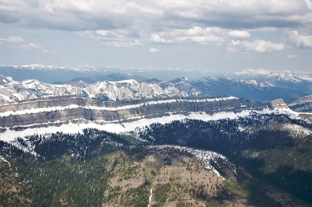
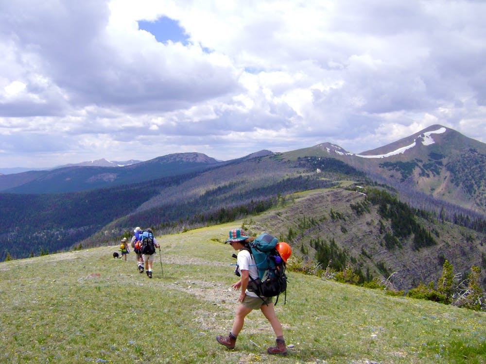
One of the most remote and wild areas of the CDT as you traverse the 3rd largest designated wilderness in the lower 48.
Hiking Severe

Of the entire 3,100-mile CDT, this segment is part-two of a remote 175+ mile stretch divided only by the Benchmark Wilderness Ranch. For thru-hikers, the ranch comes as a welcoming sight, especially since they allow visitors the option to mail a 1 cubic foot box to intersect during their hike. Once the box arrives in town, a private van shuttles the packages to the ranch, where they are stored in bear-proof boxes on the lodge porch.
As there is very little sign of civilization ahead, many hikers choose the option to rent a cabin for the night, while others choose to pitch a tent with included complimentary shower. Shuttles are available to Augusta, MT, and various guided backcountry adventures are offered throughout the summer months. A comprehensive list of services and amenities can be found here.
For thru-hikers eyeing this segment, Rogers Pass is situated just east of Lincoln, one of the trail's many Gateway Communities. It's also the only place to leave a vehicle if hiking the entire 175+ miles in one leg. Once a booming mining town, Native Americans inhabited the area for upwards of 10,000 years, and now the town serves as little more than a tourist stop and gateway to numerous backcountry adventures.
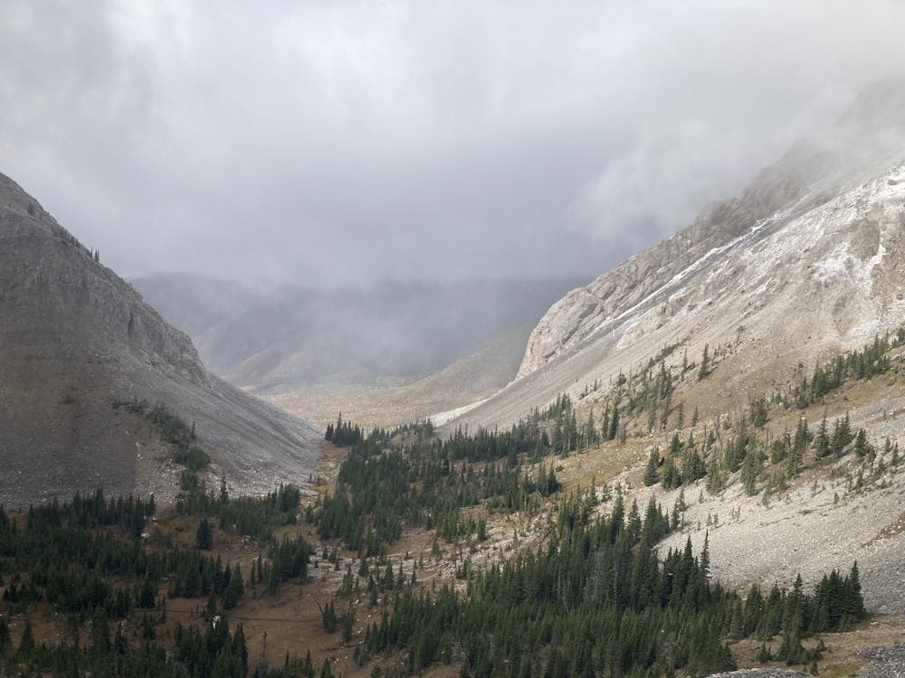
As you make your way from the ranch, the CDT splits its time between the 1-million acre Bob Marshall Wilderness, then skirts along the Great Bear Wilderness. Scapegoat Wilderness to the south is often grouped into the greater wilderness complex, and over 1,700 miles of cumulative trail provide access to countless types of outdoorsmen. The Wild and Scenic South Fork of the Flathead River is also included in the greater area and is known for its spectacular angling opportunities.
As with most of the rocky mountains, wildlife sightings are common, especially in the largely undisturbed areas where the CDT passes through. As the third-largest wilderness area in the lower 48, "grizzly bear, lynx, wolverine, deer, elk, gray wolf, moose, black bear, mountain lion, mountain goat, and mountain sheep roam about these rugged ridge tops, gently sloping alpine meadows, thickly forested river bottoms and open grass parks," this source notes.
The northern terminus for this segment lies on US-2 near East Glacier Village Park. Overnight parking is available immediately at the road crossing, or you could continue another 14 miles to town for resupply.
Sources: http://www.benchmarkwildernessranch.com/Rates.html https://wilderness.net/visit-wilderness/?ID=64 http://www.hikethedivide.com/follow-the-journey/2016/7/31/benchmark-to-rogers-pass-over-300-miles-down
Severe
Hiking challenging trails where simple scrambling, with the occasional use of the hands, is a distinct possibility. The trails are often filled with all manner of obstacles both small and large, and the hills are very steep. Obstacles and challenges are often unexpected and can be unpredictable.

Some trail sections have exposed ledges or steep ascents/descents where falling could cause serious injury.

In the high mountains or remote conditions, all individuals must be completely autonomous in every situation.
40 routes · Hiking
13 routes · Hiking