11 routes · Hiking
The long, 100+ mile stretch through remote wilderness between Grants and Cuba.
Hiking Difficult

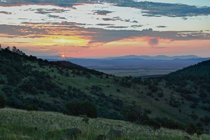
This 100+ mile segment of the Continental Divide Trail pairs two of New Mexico's Gateway Communities, Grants and Cuba. While Grants is known for a dramatic landscape defined by lava flow and barren badlands, "Cuba is tucked between notable cultural hubs and recreation hot spots of the enchanted high desert and Four Corners region, including Chaco Canyon National Historical Park, San Pedro Parks Wilderness, and the Jemez Mountains," according to the CDT Coalition. The town also offers full-service amenities and is within a reasonable drive of Albuquerque.
For thru-hikers heading north, the starting point of this section begins at a shopping center in Grants before you officially leave town. A large trailhead listed as the Mt. Taylor parking area is about 4 miles north of town and only accessible by a road walk. Though the trail only skirts around the base of the summit, the views are impeccable, and the towering ponderosa pines offer intermittent breaks from the sun.
While the trail only circles the massive 11,316' peak of Mount Taylor, the grandstand is a wonder to behold. According to Wikipedia), the mountain is a dormant stratovolcano and the highest point of both Cibola National Forest and the San Mateo Mountains. Mount Taylor was also named after the late president, Zachary Taylor, though the Navajo still refer to it as Turquoise Mountain, the article continues. Wildlife such as elk, deer, and bear can often be seen in the area, and the selection of birds that you can observe is astounding.
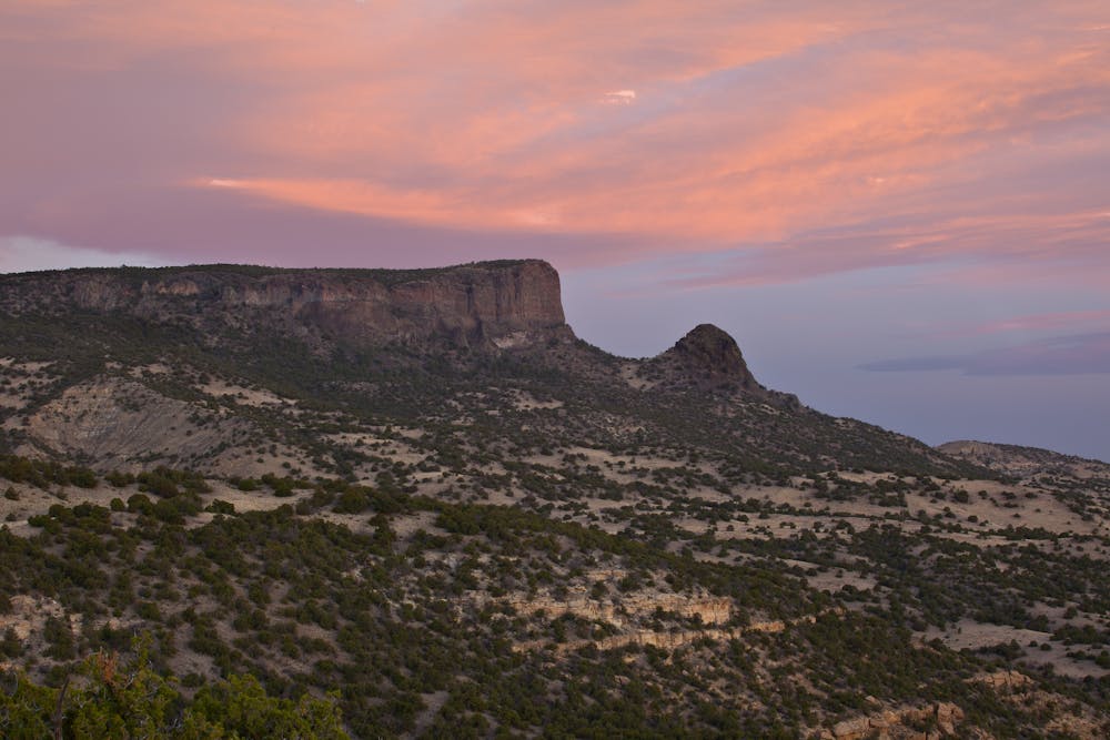
As you continue northeast, the trail transitions out of Cibola NF, and into a conglomerate of Wilderness Study Areas. The BLM (Bureau of Land Management) notes a landscape dominated by pinon and ponderosa pine, in addition to the aforementioned wildlife that reside nearby. Though only accessible by unpaved forest service roads, the area is an excellent place to explore for shorter day hikes or overnight trips, should a full thru-hike not be on your radar.
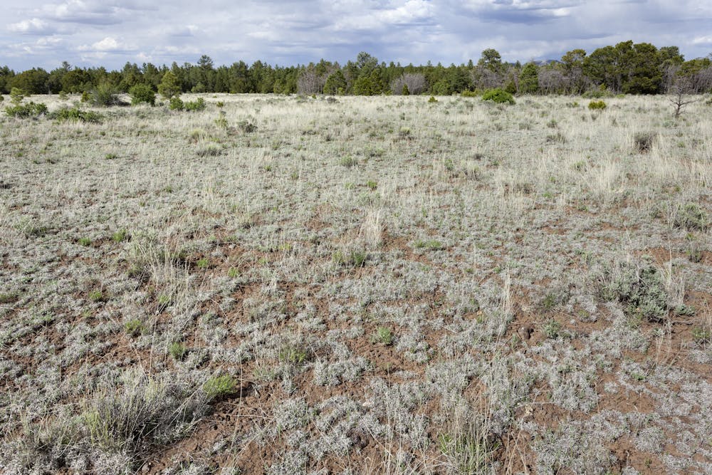
Though both towns offer plenty of resupply, intermittent water is available along the way, according to the CDT Water Report. Troughs, tanks, and springs can all be found at times, and cache boxes are available if you'd prefer to stash your water beforehand.
Difficult
Hiking trails where obstacles such as rocks or roots are prevalent. Some obstacles can require care to step over or around. At times, the trail can be worn and eroded. The grade of the trail is generally quite steep, and can often lead to strenuous hiking.

Some trail sections have exposed ledges or steep ascents/descents where falling could cause serious injury.
Little chance of being seen or helped in case of an accident.
11 routes · Hiking

40 routes · Hiking