
40 routes · Hiking
A scenic and demanding ridgeline traverse through the heart of Idaho's Beaverhead Mountains.
Also in Idaho, United States of America
Hiking Difficult

Connecting Bannock Pass to Chief Joseph Pass, this lengthy and rugged section of the CDT offers passage through the wild and scenic Lemhi County. While "agriculture, mining, and the subsequent addition of a railroad brought settlers to Lemhi County," the railroad ceased operation by 1939 according to the CDT Coalition. Prior, the area was home to the Shoshone tribe, the most famous member of which was Sacajawea, "a translator for the iconic Lewis and Clark voyage," the article continues.
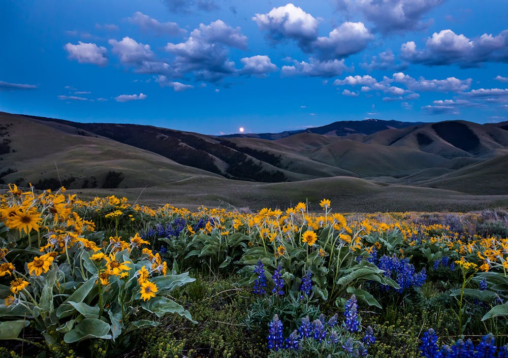
Two small trail towns are located in Lemhi County, Leadore, and the county seat, Salmon. Leadore is directly accessed from Bannock Pass and hosts a restaurant, convenience store, and a post office should you need to mail yourself any supplies ahead of time. Overnight parking is available at the trailhead, and the CDT Coalition notes how the town of 100 residents is "a popular stop for CDT hikers during a challenging section of trail." For the next 100+ miles, there are few access points to the trail other than remote dirt roads through mountain passes.
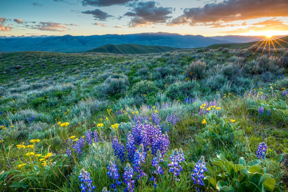
This lengthy section of the CDT passes through the heart of the Beaverhead Mountains, part of the greater Bitterroot Range. According to Wikipedia, "the mountains take their name from Beaverhead Rock, to the north of the mountains." Wildlife sightings are common and can include moose, mountain goat, bighorn sheep, lynx, and more, the article continues.
For the first half of your hike, the trail makes its way to the ridgeline, following it north until it arrives at Lemhi Pass. According to the CDT Coalition, "at the age of seventeen, Sacajawea accompanied the explorers from North Dakota to the Pacific Coast," making their way across the Continental Divide at Lemhi Pass.
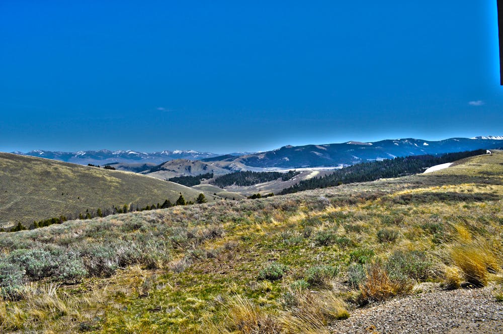
Continuing north, you'll make your way to Goldstone Pass. Just after the remote gravel road, the trail leaves the ridgeline and offers the first dependable water sources thus far. Several small lakes and ponds lie ahead and should help you to get through to Chief Joseph Pass (MT-43). A large parking area along the highway offers overnight parking and denotes the end of this segment.
Difficult
Hiking trails where obstacles such as rocks or roots are prevalent. Some obstacles can require care to step over or around. At times, the trail can be worn and eroded. The grade of the trail is generally quite steep, and can often lead to strenuous hiking.

Some trail sections have exposed ledges or steep ascents/descents where falling could cause serious injury.
Little chance of being seen or helped in case of an accident.
40 routes · Hiking

13 routes · Hiking