
10 routes · Hiking
A remote and notable portion of the CDT that lies mostly above the treeline through a remote wilderness area.
Hiking Difficult

This segment of the CDT begins at the Wolf Creek Ski Area along US-160, sometimes known as Wolf Creek Pass. To the southwest, the trail town of Pagosa Springs "combines a relaxed small-town atmosphere with abundant outdoor recreation, plenty of services, excellent soaking and fantastic scenery for a unique experience," the CDT Coalition writes.
Unique to this road crossing, a second trail town is located just to the northeast along US-160. Though the newly incorporated town of South Fork was historically shaped by the transportation industry, including stagecoaches and the modern highway system, the town was revived in the 1900s when Colorado devised a program to promote and develop skiing areas around the state, according to the CDT Coalition. Depending on who you ask, either city is worth the visit, though you could potentially do both if you can arrange a ride.
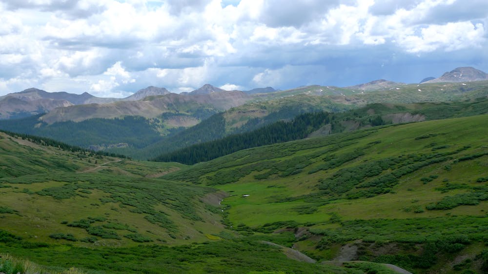
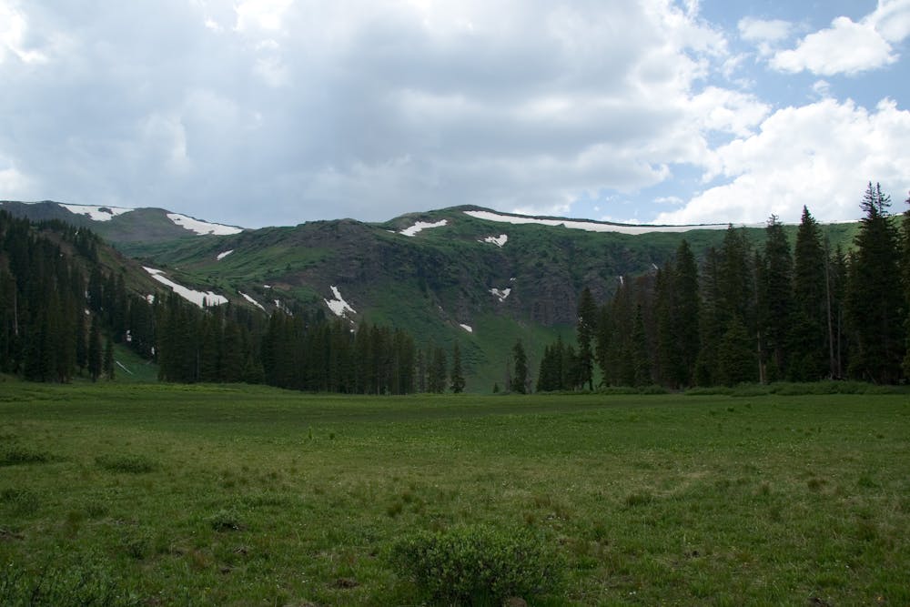
Beginning this section, the trail wanders alongside 12,000' peaks well-above the tree line. Massive ponderosa pine, firs, and aspen define the lower slopes, and at times - you may wander into the slightly lower elevations as you hop from ridge to ridge. Elk, mule deer, bighorn sheep, moose, and plenty more wildlife can often be observed in the area, though disturbing them is both unwise and potentially illegal.
One of the highlight areas for this section lies between miles 145 and 150 of the trail, restarting count at the state line. White Dome (13,633') shoulders the trail to the west and one of many peaks along the jagged massif. If you're approaching from the west, including Silverton, this hike is one of Greg Heil's top picks to visit two of Colorado's most elusive 14ers, though the route runs adjacent to the CDT, not on it.
For those seeking a longer backpacking route, Silvertown offers a great jump-off point for those seeking a multi-day backcountry adventure. The area is also a hub for several ultramarathons and epic trail runs, should that be more your style. Of course, if you're looking for a local classic, consider this out-and-back on the Colorado Trail traverses what Greg Heil considers to be one of "the most beautiful portions of the state of Colorado."
The northern trailhead for this segment is Stony Pass, a gap in the high mountains only accessible along a dirt forest service road. As conditions can dramatically vary through the year, it's always best practice to contact the local ranger station to verify the latest road conditions. A high-clearance 4x4 is also highly recommended to access this trailhead, with some users noting its rocky and rough terrain.
Sources: https://continentaldividetrail.org/
Difficult
Hiking trails where obstacles such as rocks or roots are prevalent. Some obstacles can require care to step over or around. At times, the trail can be worn and eroded. The grade of the trail is generally quite steep, and can often lead to strenuous hiking.

Some trail sections have exposed ledges or steep ascents/descents where falling could cause serious injury.
Little chance of being seen or helped in case of an accident.
10 routes · Hiking

40 routes · Hiking