11 routes · Hiking
Hike along the rim of a canyon, the transition into the rugged Aldo Leopold Wilderness, some of New Mexico's wildest and most rugged mountains.
Hiking Difficult

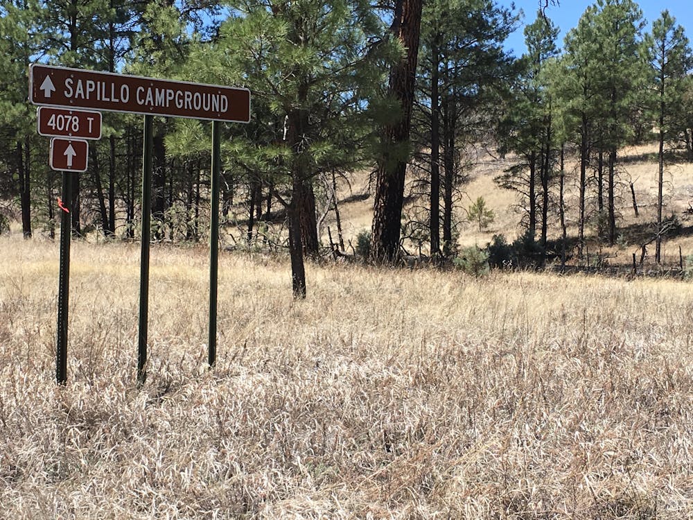
This section of the CDT begins at Sapillo Campground along NM-35, underneath a beautiful stand of ponderosa pine. For northbound hikers, the undeveloped campground offers the first dependable water source in some time, so take the opportunity to refill, even if you think you want to push through. The free campground also offers plenty of dispersed camping, vault toilets, and overnight parking for hikers who may need to leave their vehicle.
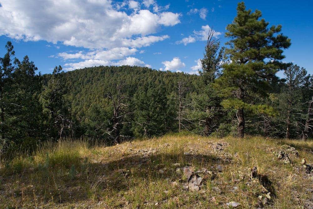
The first ~15 miles of this section trace the rim of a canyon, bound for the Rocky Point Trailhead on FS-150. There is overnight parking for a couple of vehicles, and the small trailhead offers the most direct access to its namesake 9,000' peak due east.
For a longer overnight trip from this trailhead, consider hiking the CDT north to Reeds Peak, then return via Mimbres River Trail, which follows the canyon floor below. When you near FS-150, you can follow the old CDT route back to Rocky Point, then return back to the trailhead to end your hike. The flow of the river is also dependent on snowmelt, so don't expect a steady flow to refill from and refer to the CDT Water Report for up-to-date information on sources along the CDT.
As a staple destination for hikers and the next prominent high point on the CDT, Reeds Peak to the east sits at nearly 10,000'. According to Wikipedia, a lookout tower was constructed in 1929, though the original cabin was then replaced in 1959. In 1988, it was even included into the National Register of Historic Places.
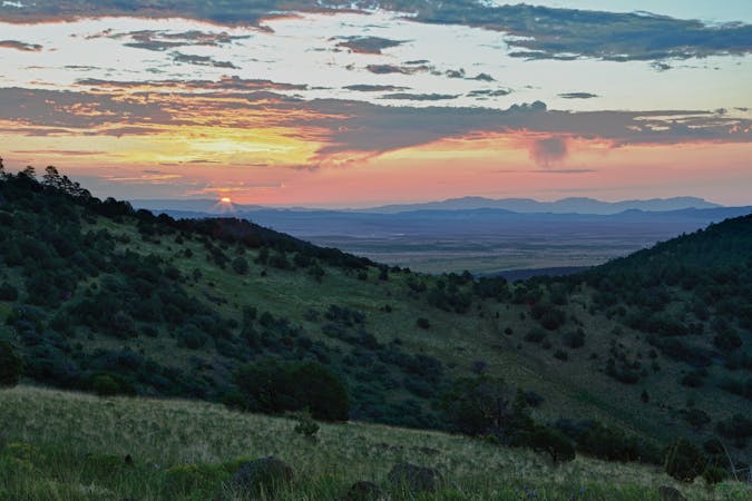
The final portion of this section is arguably the most exciting, scenic, and historic. Heading north from the lookout tower, the trail enters Aldo Leopold Wilderness, "named for one of history's most influential conservationists," the Forest Service writes. Traversing the crest of New Mexico's Black Range, the area is oft-touted as the "wildest wilderness" in the state, with the highest elevations just over 10,150' above sea level.
In addition to the never-ending views, high mountain flora, and towering ponderosa pine, the mountains were once home to the native Mimbres people, "whose culture peaked around 1000 C.E. and ended about 1150 C.E," according to this source. Silver and gold mines blanketed the mountains through the late 1800s, though to this day, it's considered "very difficult to traverse and almost entirely undeveloped," the author continues.
As you near the northernmost half of the range, you'll cross NM-59, which offers plenty of camping and parking, but no reliable water sources. The final 22-miles of the section also offer limited and unreliable water sources, though a few sources are listed as you near the northern trailhead on NM-163.
Sources: DT Coalition Wikipedia: Black Range
Difficult
Hiking trails where obstacles such as rocks or roots are prevalent. Some obstacles can require care to step over or around. At times, the trail can be worn and eroded. The grade of the trail is generally quite steep, and can often lead to strenuous hiking.

Some trail sections have exposed ledges or steep ascents/descents where falling could cause serious injury.
Little chance of being seen or helped in case of an accident.
11 routes · Hiking

40 routes · Hiking