6 routes · Hiking
The gateway into Wyoming as you shift from alpine mountaintops covered in spruce, fir, pine, and aspen, to rolling sagebrush prairies with views as far as the eye can see.
Hiking Moderate

This segment of the Continental Divide Trail (CDT) begins at the Red Mountain Trailhead on State Route 70 through Wyoming. Closed during the winter, the area is susceptible to strong winter weather, making this much more of a summer hike. If you're a thru-hiker heading north with a goal, hopefully the weather will cooperate and offer a nice balance of summer temperatures and steady water supply.
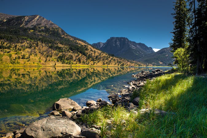
East of the trailhead, the small Gateway Communities Encampment and Riverside are nestled alongside the stunning Sierra Madre Mountains. Considered to be "some of the best views in southern Wyoming," by the CDT Coalition, "Encampment was first named "Grand Encampment in 1838 by fur trappers for their mountain trading fair (or Rendezvous) which occurred by the river." Copper mining, followed by ranching, later revived the small city, which is known for its "amenities, including restaurants, overnight camping, showers, rental cabins, a post office, and water, snacks, and sporting goods."
For those heading north on a thru-hike, you'll pass through two smaller trailheads at Hartt Creek and Bridger Pass, both within sight of Sage Creek Road. Little information on water is available through the CDT Water Report, so consider filling up at every possible opportunity and plan for some longer miles without resupply.
Other than Bridger Peak (10,962) and Divide Peak (9,075'), this segment of the trail begins a downward path towards Rawlins. Sitting just below 7,000', the small city is noted a key resupply point for hikers, with a prominent trailhead along US-287 just north of town.
Sources: https://continentaldividetrail.org/
Moderate
Hiking along trails with some uneven terrain and small hills. Small rocks and roots may be present.

Some trail sections have exposed ledges or steep ascents/descents where falling could cause serious injury.
Little chance of being seen or helped in case of an accident.
6 routes · Hiking

40 routes · Hiking