
10 routes · Hiking

This segment of the Continental Divide Trail (CDT) begins at Stony Pass, a gap in the high mountains only accessible from a rugged and remote forest service road popular with the 4x4 crowd. As conditions can vary drastically through the year, it is recommended to contact the local ranger station to verify the current road conditions before you head out. The trailhead also offers the most direct access to the town of Silverton, though the rocky, rutted road requires a high-clearance and 4WD vehicle to access it.
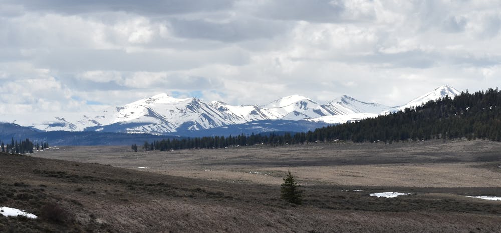
Adjacent to the pass, the 13,460-foot summit of Canby Mountain towers over the alpine landscape and is most often accessed by the aforementioned 4-wheel drive road - or by foot along the CDT. According to this source, the pass offered "a historically important access route to the 19th-century mining boomtowns of southwest Colorado," and the original route was so rough at times, that "wagons had to be disassembled and carried on horseback." Prior to a narrow-gauge railroad constructed between Durango and Silverton in 1882, it was a key thoroughfare for those traveling in the area.
The first 15-miles of this segment wander eastward towards Carson Saddle Trailhead, slightly east of Bent Peak. Most of the trail remains above the tree line, traversing exposed alpine terrain full of commanding views. As you hike, keep an eye out for mule deer, moose, black bear, and other wildlife that can be viewed throughout the area.
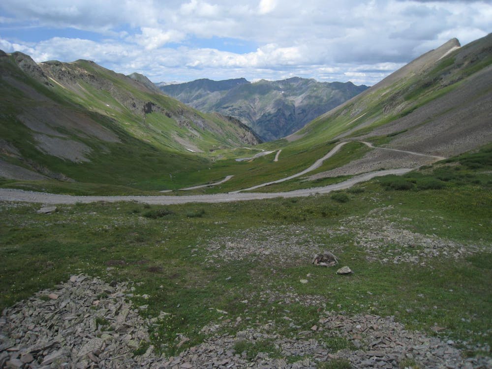
Dependable water is abundant in increments, thanks to the high mountain lakes and creeks that line the trail. Another road crossing is lies about 15-miles ahead at CO-149, and offers both overnight and trailer parking, for those who may need it.
If you're looking for a longer day hike in the area, options are limited since most of the access points require an off-road capable vehicle. If you're up for the challenge, however, author Greg Heil suggests you set your sights on San Luis Peak. As one of the "easiest Class 1 14ers in Colorado, it's one of the most difficult 14er summits to reach," due the remote nature of the trailhead. San Luis is also within the La Garita Wilderness area, which the trail winds in and out of frequently as it crosses the range.
To round the segment out, the trail wanders out of the high peaks and into the lower elevations, passing stream after mountain stream along the way. The alpine terrain will also transition to a forest dominated by pine, fir, and spruce, as you make your way to North Pass at CO-114. Overnight parking is allowed, but no facilities are immediately available.
Sources: https://continentaldividetrail.org/ https://www.summitpost.org/canby-mountain/151105 https://en.wikipedia.org/wiki/LaGaritaWilderness
Difficult
Hiking trails where obstacles such as rocks or roots are prevalent. Some obstacles can require care to step over or around. At times, the trail can be worn and eroded. The grade of the trail is generally quite steep, and can often lead to strenuous hiking.

The trail contains some obstacles such as outcroppings and rock which could cause injury.

In the high mountains or remote conditions, all individuals must be completely autonomous in every situation.
10 routes · Hiking

40 routes · Hiking