6 routes · Hiking
A remote passageway through the Teton Wilderness, considered one of the most remote areas in the lower 48.
Hiking Difficult

Named after a Shoshone subchief, this segment of the CDT begins at Togwotee Pass, about 25 miles east of Moran Junction. The pass offers the most direct access to Grand Teton National Park and Jackson Hole from the east and has served as "an important trade route for native tribes," according to this article. Best enjoyed during the summer, this area receives a minimum of 25 feet of snow beginning as early as September or October, with some areas reporting as much as 50 feet.
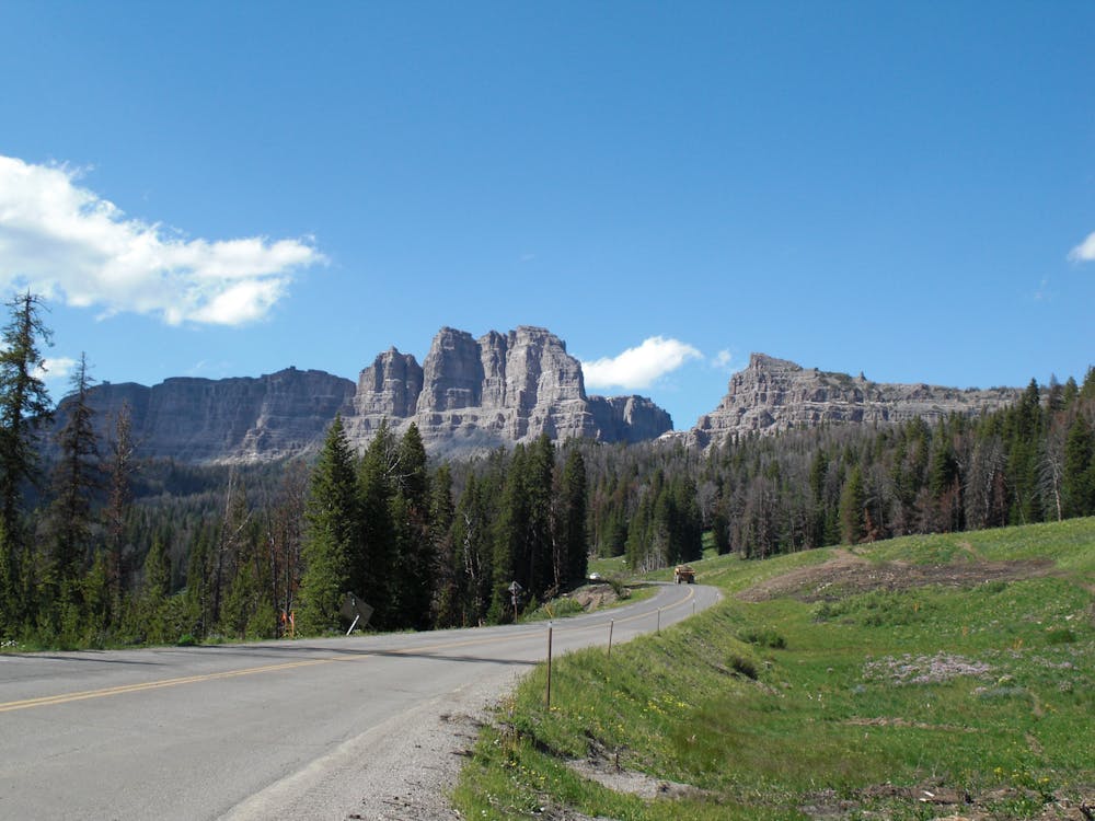
Parking is available where the trail crosses the 2-lane road, and overnight parking is available nearby at Brooks Lake. A roadside picnic area is situated just north of the pass and a great way to stretch your legs to an impressive view of the Tetons. No restrooms or potable water are available immediately where the trail crosses the road, however.
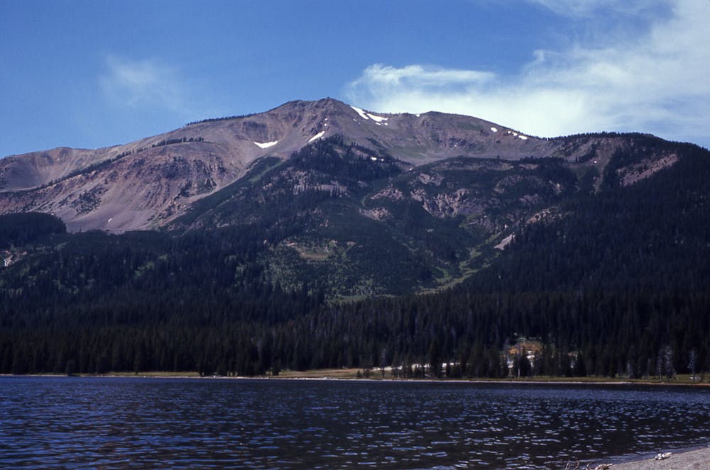
Heading north, there is virtually no road access to the CDT until you reach Heart Lake. Remote snowmobile trails and other hiking trails offer some indirect access, but should not be relied upon for resupply. Thankfully, water is available in steady increments throughout the 75-mile stretch with up-to-date information available here.
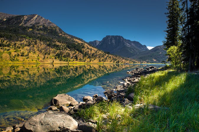
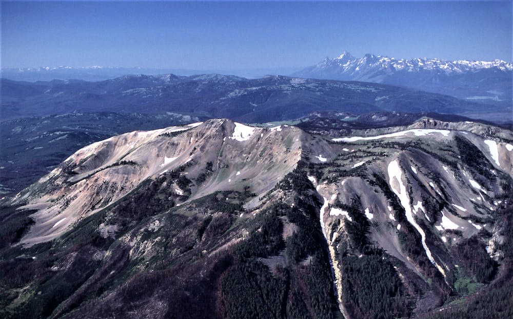
According to this article, the "Teton Wilderness is notable for having the most remote location (farthest from any road) of any place in the contiguous 48 states of the US." That said, the proximity between trailheads makes this 75-mile stretch perfect as a shuttle, though you should expect to be completely autonomous since there is no way to get off the trail if something goes wrong. It's also noted that there is no logging or mining in the vicinity, thanks to the 1964 Wilderness Act.
Wildlife such as grizzly and black bear, wolverine, cougar, wolf, and bison can all be spotted, and there are over 300 species of birds that inhabit the area. Pine, spruce, and fir compose most of the forest, and sagebrush hillsides offer a stark contrast to the dense forests. A wildfire, severe storms, and a tornado also swept through the wilderness in the late 1980s, with impacts that can be seen to this day.
Sources: https://en.wikipedia.org/wiki/TogwoteePass https://continentaldividetrail.org/ https://en.wikipedia.org/wiki/TetonWilderness
Difficult
Hiking trails where obstacles such as rocks or roots are prevalent. Some obstacles can require care to step over or around. At times, the trail can be worn and eroded. The grade of the trail is generally quite steep, and can often lead to strenuous hiking.

Some trail sections have exposed ledges or steep ascents/descents where falling could cause serious injury.

In the high mountains or remote conditions, all individuals must be completely autonomous in every situation.
6 routes · Hiking

40 routes · Hiking