
10 routes · Hiking

This segment of the CDT begins on CO-114, which roughly connects the towns of Saguache and Gunnison. Day and overnight parking is available, and the trailhead is large enough to host small horse trailers or those driving a larger vehicle. There are no facilities immediately available, though water is abundant along the trail and in the vicinity.
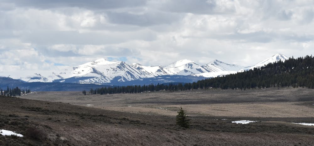
In contrast to the previous segment, northbound thru-hikers will enjoy this contrast between the exposed alpine terrain and now-forested trail. Ponderosa pine, firs, and aspen dominate the terrain, and signs of former logging operations can be observed, especially around Sargents Mesa. Timber operations usually halt for the spring break-up season, which the USFS describes as the window "when the forest floor and roads are too soft to operate without significant impacts that can be costly, if not impossible, to repair."
For thru-hikers, there are no major road crossings in the area, but an elaborate spider web of forest service roads offers access to those with a 4x4, high-clearance vehicle. More information on OHV use in the vicinity can be found here.
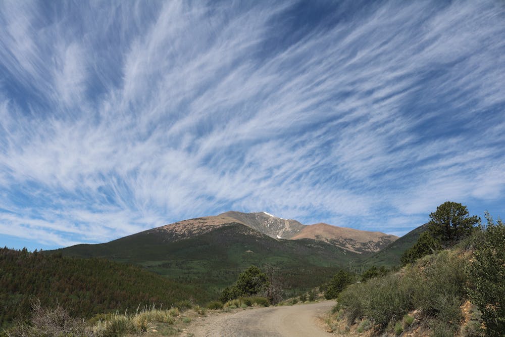
As you near the northernmost terminus of this trailhead beyond Marshall Pass, about 278.5 miles into the Colorado portion of the trail, the CDT runs along the western slopes of numerous mountains, including the prominent Mount Ouray (13,888'). As a noteworthy point on the trail, Monarch Pass serves as the northern terminal for this segment, and hosts over 100 overnight parking spots, in addition to oversized vehicle parking. The Monarch Crest Tramway also begins at the parking lot, offering a short point-to-point hike with using a short portion of the trail.
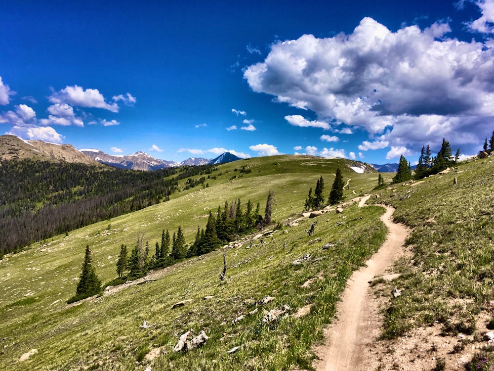
If you're looking for a longer day hike in the area, you're in luck. Not far from Monarch Pass, you can venture along Green's Creek, a "local sleeper hit" that author Greg Heil describes as a "beautiful trail following a rushing mountain stream up a gorgeous valley filled with aspens and towering pine."
In contrast, Waterdog Lakes is another popular - and shorter - hike that climbs to a series of beautiful alpine lakes near the ski resort. Greg also notes how it is one of the most accessible trailheads in the area since many nearby hikes begin at remote, high-mountain trailheads only accessible to a 4x4 capable vehicle.
Sources: https://continentaldividetrail.org/
Difficult
Hiking trails where obstacles such as rocks or roots are prevalent. Some obstacles can require care to step over or around. At times, the trail can be worn and eroded. The grade of the trail is generally quite steep, and can often lead to strenuous hiking.

The trail contains some obstacles such as outcroppings and rock which could cause injury.

Little chance of being seen or helped in case of an accident.
10 routes · Hiking

40 routes · Hiking