
10 routes · Hiking
A long passageway through the Medicine Bow-Routt National Forest as the CDT makes its way into Wyoming.
Also in Wyoming, United States of America
Hiking Severe

After a 15-mile road walk to Rabbit Ears Pass, this segment of the CDT begins where US-40 crosses the Continental Divide. According to Wikipedia, the road "is one of the most important transcontinental road links in the nation," and was named after a nearby rock formation that resembles a rabbit's ears. The unique ecology and geology also offer the perfect habitat for elk, mule deer, moose, bear, fox, and an abundance of birds, the article continues. The pass also receives considerable snowfall each year, which local communities rely on for their livelihood.
Slightly west along the road, Steamboat Springs is one of the CDT's Gateway Communities, though you will have to arrange a ride or hitchhike to town if you intend to visit. Considered by the CDT Coalition to be a "year-round outdoor playground and historic town where western heritage meets abundant adventure," downtown Steamboat hosts a "renowned weekly rodeo, heritage shops and outfitters, and a culinary community that takes homegrown to new heights."
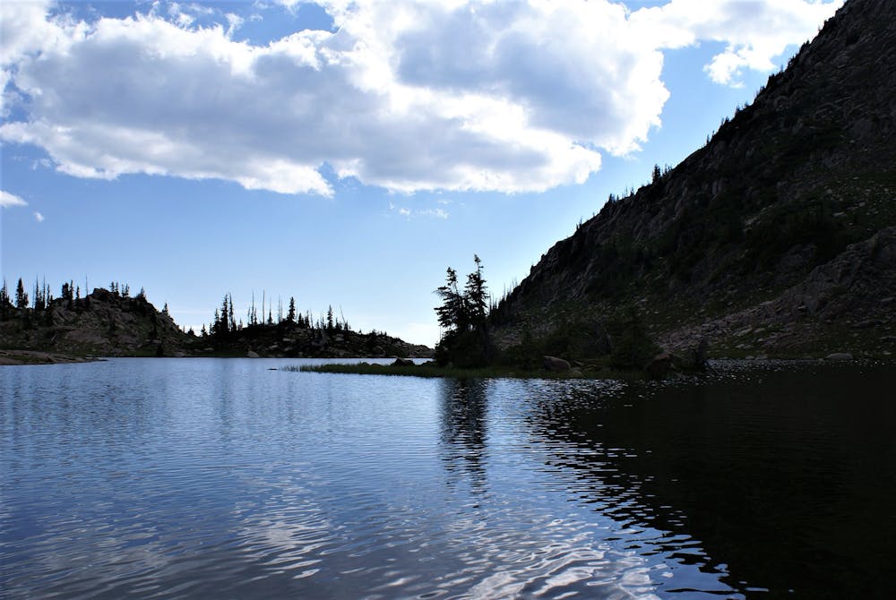
Heading north of Rabbit Ears Pass, there are only a few remote forest service roads that allow access to the trail until you complete the segment. As you traverse the Medicine Bow-Routt National Forest extending into Wyoming, springs, rivers, and lakes offer water at steady intervals through most of the year.
Jointly managed by different agencies, the forest was also named after the Native American powwows that would congregate in the area in search of mountain mahogany, "which was an excellent wood for the manufacturing of bows, and to perform rituals hoped to cure diseases and thus make good medicine." Source
A long portion of the trail also explores the Mount Zirkel Wilderness, encompassing nearly 160,000-acres to the east of Steamboat Springs. The wilderness area is named after the most prominent peak in the range, which was named after a German geologist who surveyed the mountains for minerals in the mid-1800s. Dense spruce-fir forests blanket most mountainsides, "although it also contains alpine tundra, montane forest, meadow, and riparian habitats," according to this source.
This segment of the CDT ends with a brief passage through the Huston Park Wilderness Area before arriving at the Red Mountain Trailhead on WY-70. Hovering around 10,000', the USFS notes the alpine bogs, spruce-fir, lodgepole pine, and aspen forests" that blanket most of the mountains. You'll also enjoy endless high-country views as you may your way into Wyoming.
Sources: https://continentaldividetrail.org/ https://continentaldividetrail.org/cdt-gateway-communities/steamboat-springs/ https://en.wikipedia.org/wiki/FerdinandZirkel https://en.wikipedia.org/wiki/RabbitEarsPass https://en.wikipedia.org/wiki/MountZirkelWilderness https://www.fs.usda.gov/recarea/mbr/recarea/?recid=80840
Severe
Hiking challenging trails where simple scrambling, with the occasional use of the hands, is a distinct possibility. The trails are often filled with all manner of obstacles both small and large, and the hills are very steep. Obstacles and challenges are often unexpected and can be unpredictable.

Some trail sections have exposed ledges or steep ascents/descents where falling could cause serious injury.

In the high mountains or remote conditions, all individuals must be completely autonomous in every situation.
10 routes · Hiking

40 routes · Hiking