6 routes · Hiking
A long and incredibly scenic passage through the Wind River Range.
Hiking Difficult

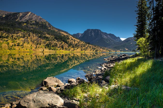
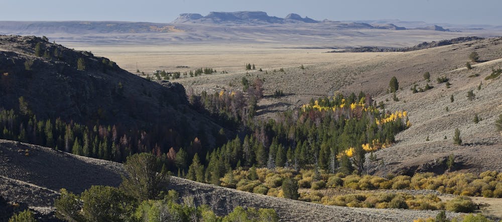
This is perhaps the most stunning and beautiful section of the Continental Divide Trail, at least in Wyoming. Considered by many as the wildest and most rugged mountain range in the lower 48, the Winds are by far one of the most coveted sections of the entire CDT. Several of the range's best hikes, including the infamous High Route, are documented in this guidebook, or you could set off for a section hike between South Pass City and the Green Lakes Campground seen here.

To the south, this segment begins in South Pass City, one of Wyoming's most well-known ghost towns. According to this source, "you can tour the historic site's 24 restored buildings, pan for gold in Willow Creek and even shop at the local General Store." If you want to "get in touch with your inner cowboy," they continue, you could also enjoy a game of pool with a cold glass of sarsaparilla in a saloon built during the 1800s gold rush.
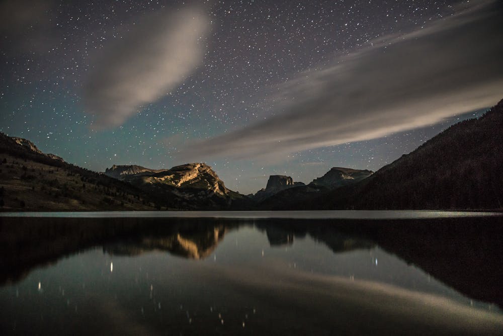
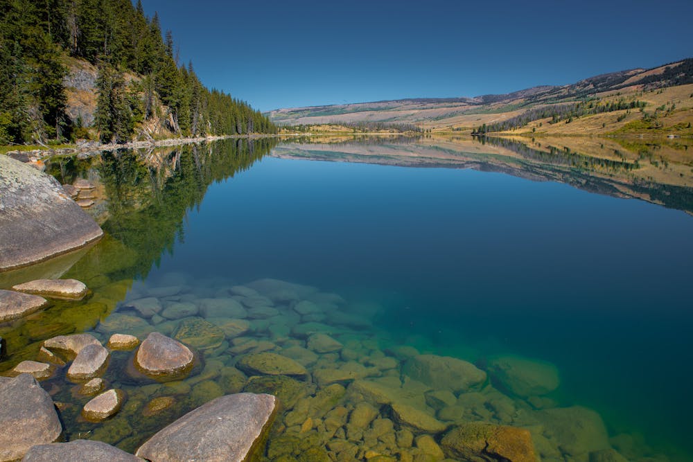
For thru-hikers heading north, there are several trailheads along the way, beginning with the Sweetwater Guard Station about 20-miles in. The Big Sandy Campground is about 45-miles and near the halfway point for those hiking the entire section. Access points are limited as you continue further north, though several intersecting trails can lead you off the mountain. Water is also abundant thanks to the many glacial lakes you'll pass along the way, just remember to treat or filter it before you drink it.
For those who enjoy visiting the trail's many Gateway Communities, Pinedale rests along the western slopes of the range about halfway through the segment. "Home to one of the nation's oldest and longest cattle drives," the small ranching town is a place where "wildlife outnumber residents tenfold," the CDT Coalition notes. Visiting town does require a detour to the Trails End Campground followed by a road walk or hitchhike, but the stop is absolutely worth the time!
Difficult
Hiking trails where obstacles such as rocks or roots are prevalent. Some obstacles can require care to step over or around. At times, the trail can be worn and eroded. The grade of the trail is generally quite steep, and can often lead to strenuous hiking.

Some trail sections have exposed ledges or steep ascents/descents where falling could cause serious injury.

In the high mountains or remote conditions, all individuals must be completely autonomous in every situation.
6 routes · Hiking

40 routes · Hiking