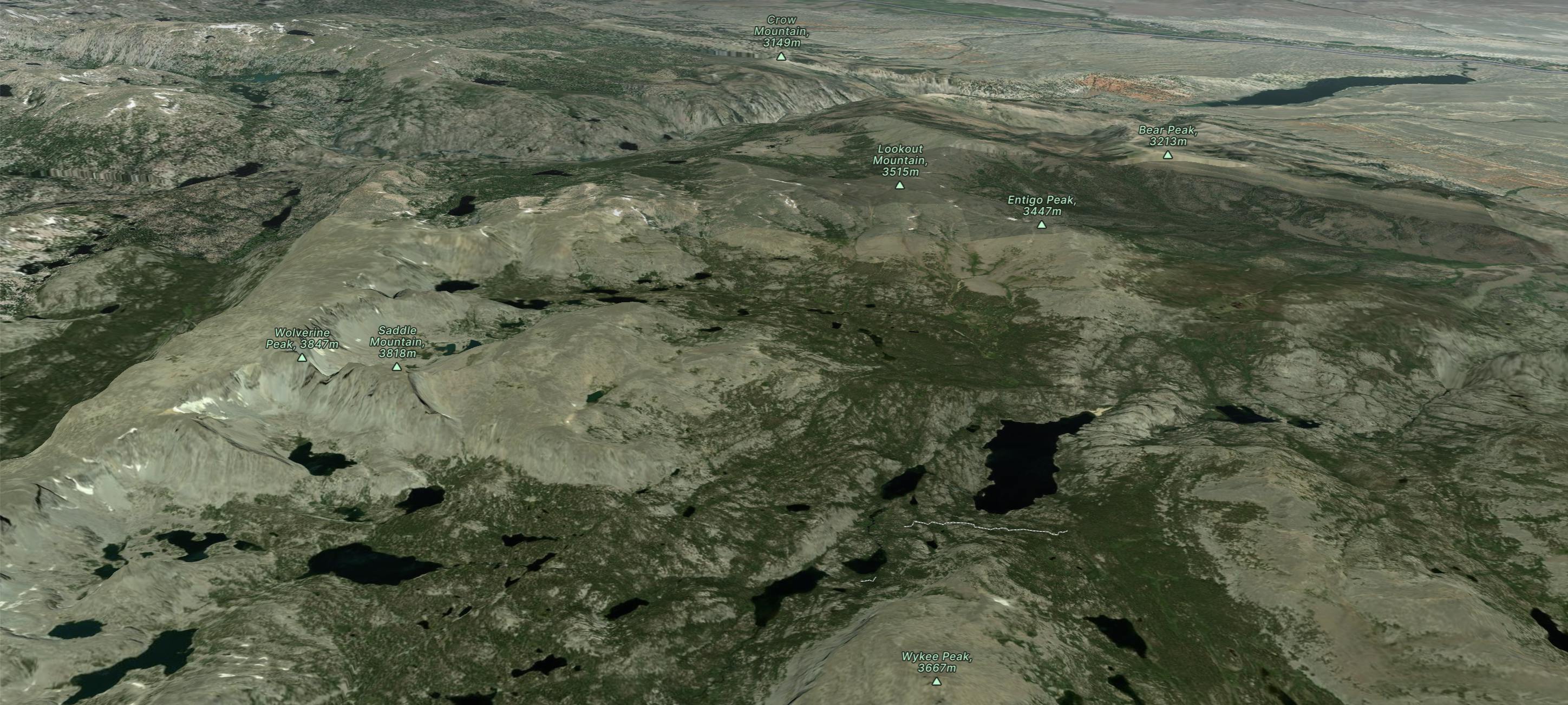
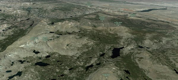
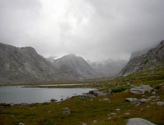
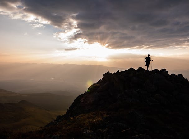
CDT: Green River Lakes CG to Togwotee Pass (US-26)
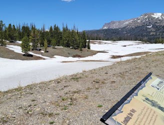
A scenic end to the Wind River Range with a northern terminus at Togwotee Pass, a historic trade passageway through the mountains.
Difficult Hiking
- Distance
- 98 km
- Ascent
- 2.6 km
- Descent
- 2.2 km
Explore Wind River Range with curated guides of the best hiking trails, and more. With over 14 3D trail maps in FATMAP, you can easily discover and navigate the best trails in Wind River Range.
No matter what your next adventure has in store, you can find a guide on FATMAP to help you plan your next epic trip.
Get a top trail recommendation in Wind River Range from one of our 6 guidebooks, or get inspired by the 14 local adventures uploaded by the FATMAP community. Start exploring now!
A scenic end to the Wind River Range with a northern terminus at Togwotee Pass, a historic trade passageway through the mountains.
Difficult Hiking
A long and incredibly scenic passage through the Wind River Range.
Difficult Hiking
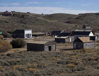
A long traverse through rolling hills and canyons connecting Rawlins to the southern end of the Wind River Range.
Moderate Hiking
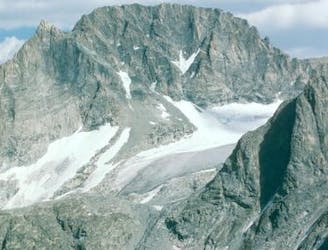
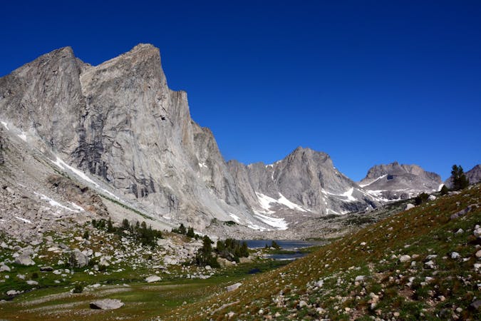
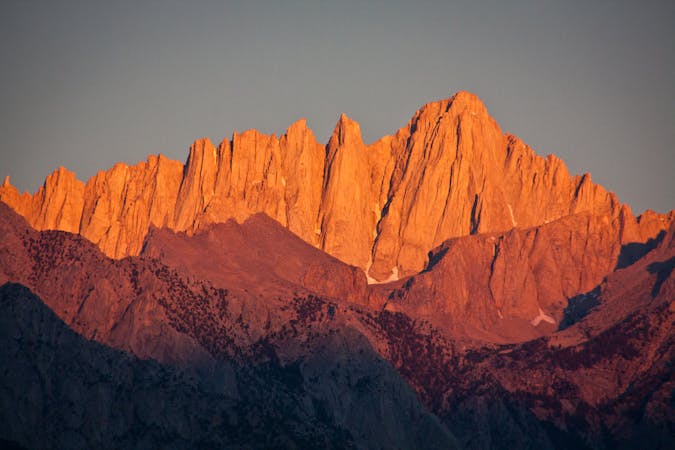
Wyoming’s highest peak via the Gooseneck Glacier route, approaching from the east via Glacier Trail.
Difficult Alpine Climbing
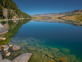
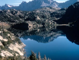
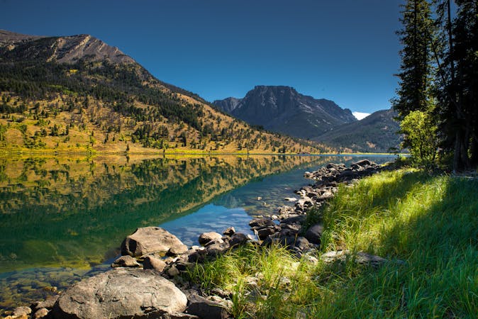
A short day hike from the Green River Lakes Campground.
Moderate Hiking
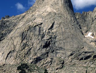
A classic backcountry hike or trail run in the southeastern reaches of the Winds.
Difficult Hiking
One of the most coveted backpacking routes or all-day trail runs in the Wind River Range.
Difficult Hiking
An overnight hike or all-day trail run to stunning glacial lakes known for their excellent fishing—a great alternative to Titcomb Basin.
Difficult Hiking
8 routes · Hiking
5 routes · Alpine Climbing · Hiking
5 routes · Alpine Climbing · Hiking
10 routes · Alpine Climbing · Hiking
6 routes · Hiking

40 routes · Hiking