1 m away
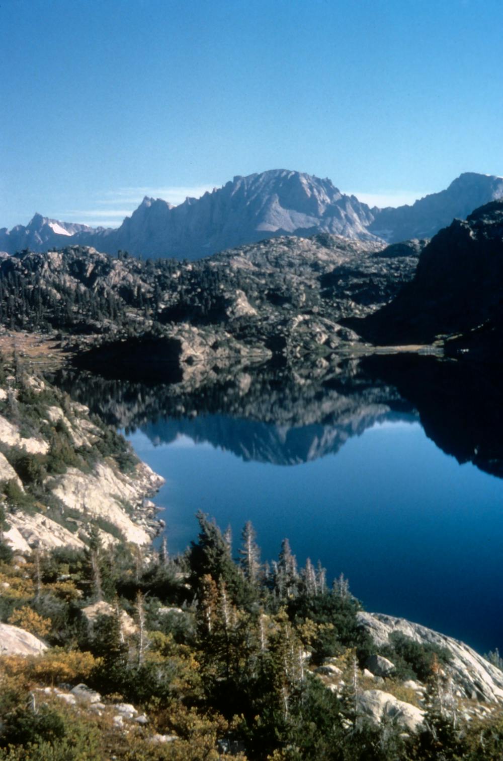
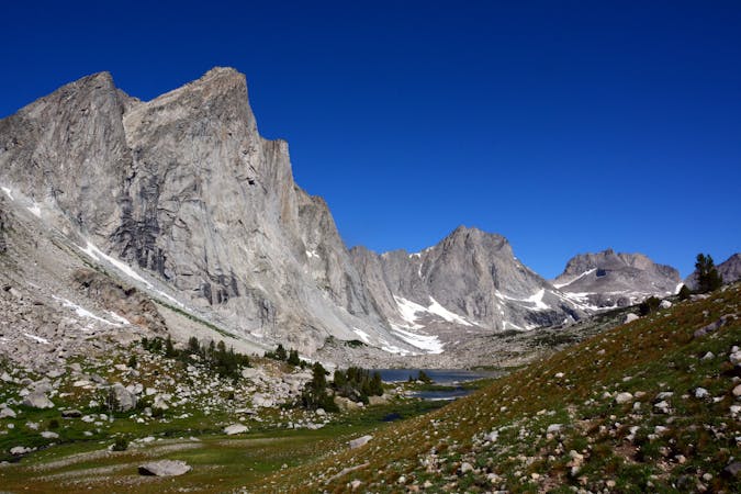
Titcomb Basin
One of the most coveted backpacking routes or all-day trail runs in the Wind River Range.
Difficult Hiking
- Distance
- 53 km
- Ascent
- 1.6 km
- Descent
- 1.6 km
An overnight hike or all-day trail run to stunning glacial lakes known for their excellent fishing—a great alternative to Titcomb Basin.
Hiking Difficult

Though Titcomb Basin is one of the most highly-acclaimed backpacking routes in the Winds, this route should be considered a close second. Located along same path to Titcomb Basin, this loop spurs off onto the Continental Divide Trail, then loops back on a lesser-traveled path along Lost Lake.
The trailhead is known by many names, including Elkhart Park, Sacred Rim, Long Lake, and is even listed on some maps as a Sublette County parking. It's an ~30-minute drive from Pinedale and paved the entire way.
Open June 1st, Trails End Campground is also located at the trailhead and offers several primitive campsites, including some suitable for RVs and trailers. However, availability is limited, and all campsites are first-come, first-serve, so plan accordingly.
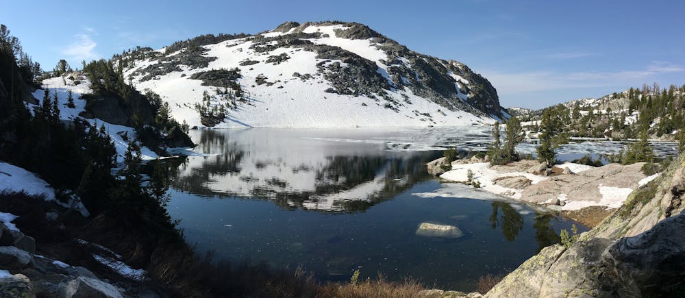
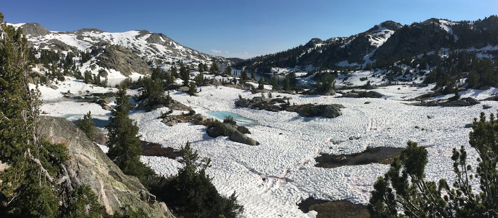
As mapped, this route is a "lollipop," with Pole Creek and Seneca Lake Trails as the "stick," and the Highline Trail/CDT and an unnamed game trail forming the loop at the end. The trail to Lost Lake is infrequently used, but most claim it's easier to follow when hiked clockwise. About halfway to the lake, the path can become hard to follow, but this GPS line should keep you closely on track.
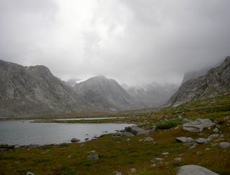
The Winds are a fly fisherman's paradise, and this loop is no different. Though Seneca Lake is a popular destination for the sport, other sources suggest that Lost Lake is home to Rainbow, Brook, and even Cutthroat Trout! Though many have been skunked, the lake's inlets typically offer the best chance of a worthwhile catch.
If fishing is your goal, consider a detour to Island Lake, not far up Indian Pass Trail. Its popularity makes it less desirable among those seeking solitude, but the lake will surely provide a few fish if neither Lost nor Seneca Lake live up to their reputation.
Sources: https://www.fs.usda.gov/recarea/btnf/recarea/?recid=71819 https://philreedshikes.com/tag/lost-lake/ https://alpenglowsports.wordpress.com/2012/10/01/wind-river-wy-and-city-of-rocks-id-trip-report/
Difficult
Hiking trails where obstacles such as rocks or roots are prevalent. Some obstacles can require care to step over or around. At times, the trail can be worn and eroded. The grade of the trail is generally quite steep, and can often lead to strenuous hiking.

Some trail sections have exposed ledges or steep ascents/descents where falling could cause serious injury.
Little chance of being seen or helped in case of an accident.
1 m away
One of the most coveted backpacking routes or all-day trail runs in the Wind River Range.
Difficult Hiking
8 routes · Hiking