6 routes · Hiking
A long traverse through rolling hills and canyons connecting Rawlins to the southern end of the Wind River Range.
Hiking Moderate

This section of the CDT begins at a small pull-out on US-287 north of Rawlins. Neither water nor restrooms are immediately available, though the small town is noted as a key resupply point for thru-hikers. Information on overnight parking is unknown, but a small trailer or RV could easily find space. That said, this 100+ mile segment isn't particularly scenic, so section hiking or planning a shorter overnight trip isn't a popular option.
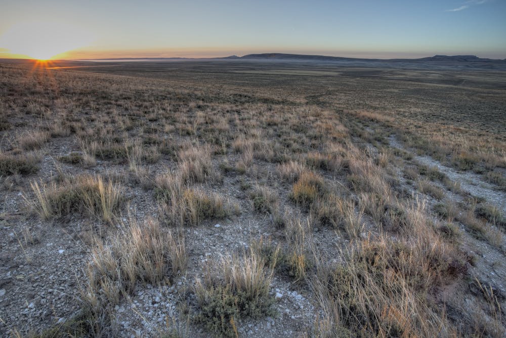
Heading north from the trailhead, the CDT parallels the highway to the west, never venturing too far for the first ~12 miles. A brief road walk passes through a small gap below a red rock mesa, then the trail heads deep into the backcountry for some solitude. The next 25+ miles follow near-straight passages through remote canyonlands crisscrossed by farm, oil, and ranch roads until it crosses Bairoil Road. Another 10 miles, and you'll arrive at Crooks Gap, one of the only major access points along this segment.
Ahead, the trail continues along the south and western slopes of Crooks Mountain, then onto a monotonous journey west through remote canyonlands. A small trailhead at Bison Basin Road notes your near Alkali Creek, just below the confluence of its east and west forks. Great camping options are available nearby, though the water in the creek is very dependent on recent rains.
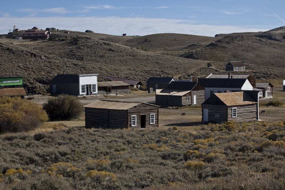
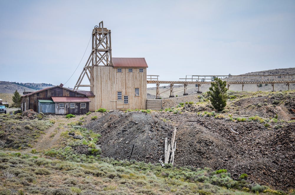
The final leg of this segment continues west through canyonlands, passing south of Sweetwater Canyon WSA and north of Honeycomb Buttes WSA. Skirting south of Atlantic City, this section ends at a large parking area at the crossroads in one of Wyoming's most notable ghost towns, South Pass City. Built around the gold rush in the late 1800s, "you can tour the historic site's 24 restored buildings, pan for gold in Willow Creek and shop at the local General Store," according to this source. If you want to "get in touch with your inner cowboy," you can even enjoy a game of pool with a cold glass of sarsaparilla, the article continues.
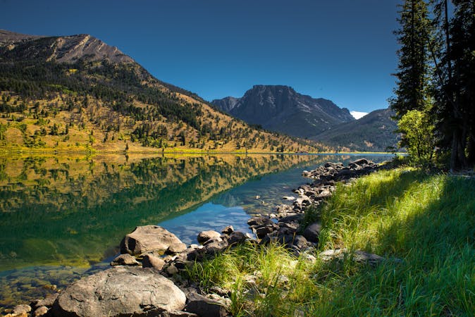
Compared to the high peaks of Colorado and the upcoming Wind River Range, water is scarce along this section of trail. Don't pass up opportunities to resupply when you can; just be extra mindful of livestock and other potential contaminants that would make the water undesirable. Another source notes water cache boxes in the area, though limited information is available.
Sources: CDT Coalition Travel Wyoming
Moderate
Hiking along trails with some uneven terrain and small hills. Small rocks and roots may be present.

The trail contains some obstacles such as outcroppings and rock which could cause injury.

Little chance of being seen or helped in case of an accident.
6 routes · Hiking

40 routes · Hiking