3 m away
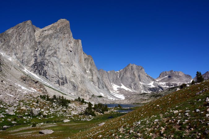
Wind River High Route
One of the most epic thru-hikes in the Lower 48.
Severe Hiking
- Distance
- 128 km
- Ascent
- 4.9 km
- Descent
- 4.5 km
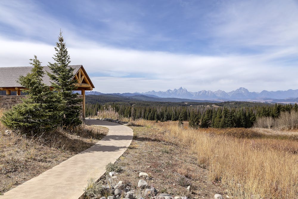
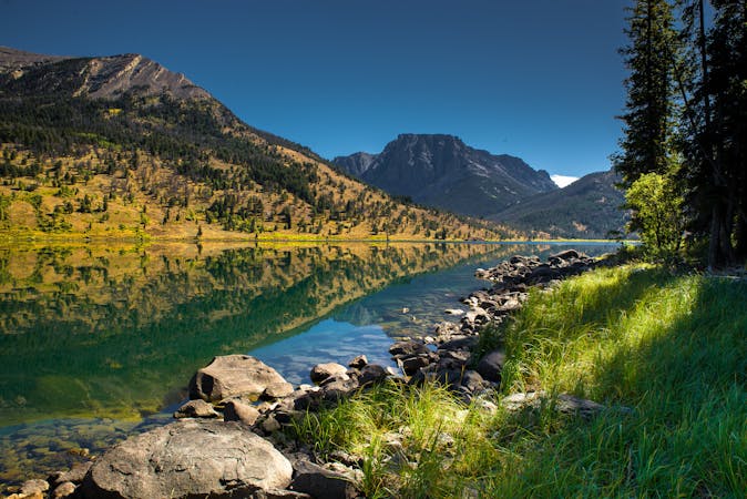
A scenic end to the Wind River Range with a northern terminus at Togwotee Pass, a historic trade passageway through the mountains.
Hiking Difficult

This leg of the CDT rounds out one of the most spectacular and stunning sections of the entire 3,100-mile footpath. Those seeking a multi-day section hike may enjoy this segment-to-green-river-lakes-cg) to the south, while those traveling to Yellowstone or the Tetons will enjoy easy access to this segment from Togwotee Pass.
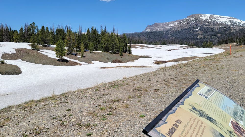
Named after Chief Washakie of the Sheepeater tribe, a branch of the Shoshones, this source notes, the pass was once part of a crucial trade route. A modern-day roadside pavilion offers great views just north of the trailhead for those driving through. Overnight parking is available at both ends of the segment.
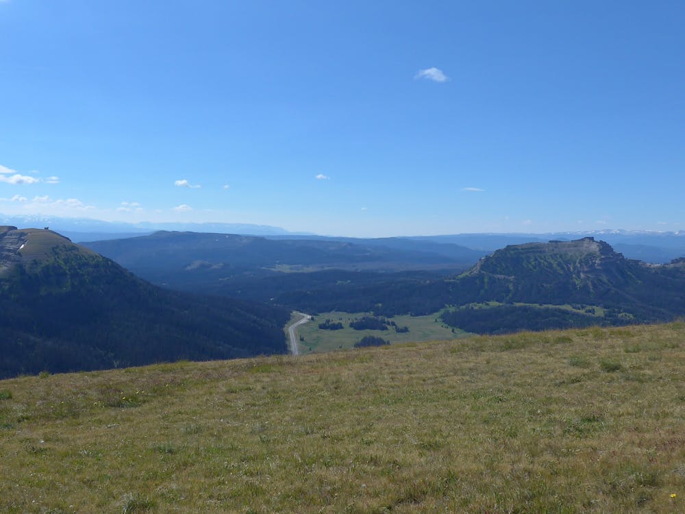
Other than Union Pass, which offers no immediate access to a nearby town, access to this segment is limited to the northern and southern ends. Portions of the route have changed over time, with this line reflecting the trail's route as of 2021. There are no major mountains to summit, but the trail skirts the base of several larger peaks, including Two Ocean Mountain. Named accordingly, water on one side of the ridge drains into the Pacific Ocean, while the other side drains into the Gulf of Mexico.
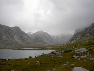
Thankfully, this leg of the CDT includes plenty of opportunities to resupply on water, including a glacial lake, small streams, and larger rivers. Remember to treat or filter all sources before you drink them and refer to the CDT Water Report if you'd like the most up-to-date information.
Difficult
Hiking trails where obstacles such as rocks or roots are prevalent. Some obstacles can require care to step over or around. At times, the trail can be worn and eroded. The grade of the trail is generally quite steep, and can often lead to strenuous hiking.
3 m away
One of the most epic thru-hikes in the Lower 48.
Severe Hiking
38 m away
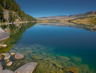
A short day hike from the Green River Lakes Campground.
Moderate Hiking
8 routes · Hiking
6 routes · Hiking

40 routes · Hiking