8 routes · Hiking
A classic backcountry hike or trail run in the southeastern reaches of the Winds.
Hiking Difficult

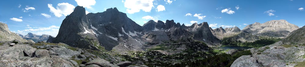
While Titcomb Basin tops the list of epic 3-5-day backpacking trips in the Winds, the Sweetwater Loop is equally as epic and includes the infamous Cirque of the Towers, a "high alpine basin rimmed by huge granite spires," according to Jesse Weber. While they both have subtle nuances that set them apart, this adventure explores an array of backcountry trails that are much more difficult to navigate. The trailhead is also far more remote, meaning you should top off your gas tank before leaving town.
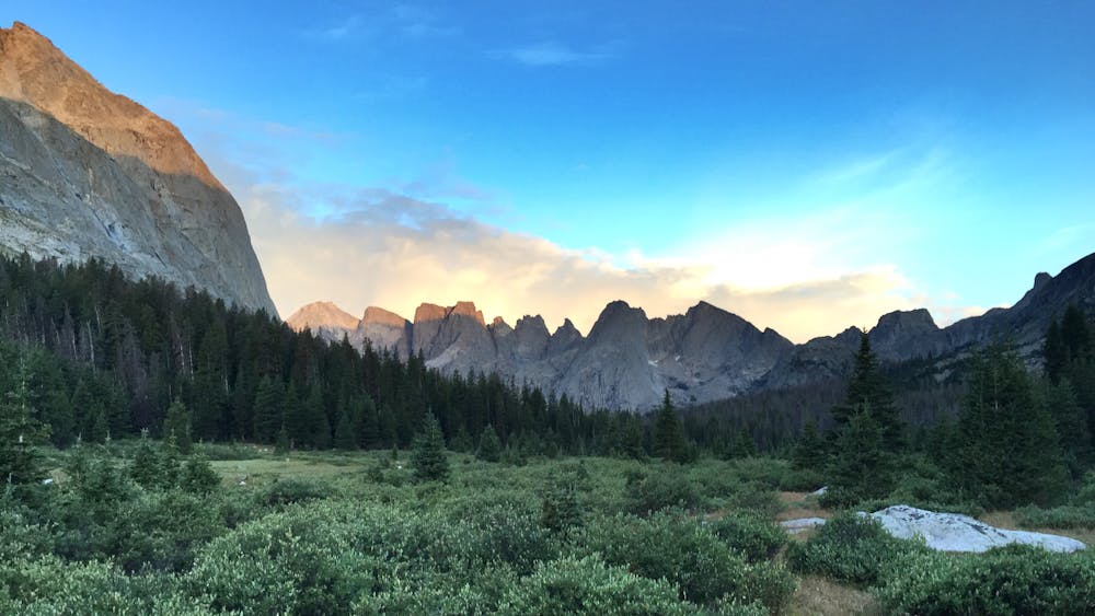
Nearly 40 miles in length, this adventure should take between 3-4 days, though an experienced trail runner could likely complete the run in a single day. If fishing is your thing, this loop explores several of the Wind's pristine glacial lakes and offers some of the best angling opportunities anywhere in the region.
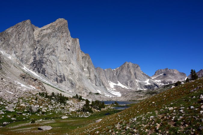
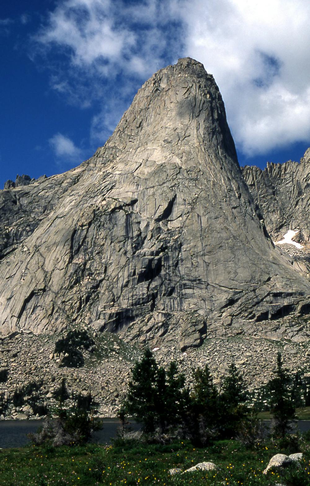
In addition to the epic views, wildflowers, picturesque lakes, and angling opportunities, this route pays a visit to the Cirque of the Towers, one of the most renowned climbing areas in the Winds. "The cirque is an almost circular hole or valley carved by a glacier that retreated over 8,000 years ago," according to Wikipedia. "The mountains are composed almost entirely of granite," and "the Continental Divide spans the crest of the main peaks," the author continues. With routes ranging from 5.1 to 5.11a, you'll undoubtedly encounter climbers who have set up a base camp in the valley below.
While parts of this route are on well-known and blazed trails, other portions require trekking through remote backcountry on lesser-traveled paths. Refer closely to this GPS track to stay on the route.
Also, be sure to plug in the coordinates for the trailhead before leaving town since some sources suggest it can be difficult to find, and cell signal is non-existent. The trailhead is officially referred to as the "Sweetwater Trailhead," and as of 2019, is searchable on Google Maps. A high clearance vehicle may be helpful at times, though it's unclear whether 4x4 is needed.
Sources: https://www.cleverhiker.com/blog/cirque-of-the-towers-3-day-backpacking-loop-wind-river-wy https://www.summitpost.org/sweetwater-trailhead-access-road-map/461731
Difficult
Hiking trails where obstacles such as rocks or roots are prevalent. Some obstacles can require care to step over or around. At times, the trail can be worn and eroded. The grade of the trail is generally quite steep, and can often lead to strenuous hiking.

Some trail sections have exposed ledges or steep ascents/descents where falling could cause serious injury.

In the high mountains or remote conditions, all individuals must be completely autonomous in every situation.
8 routes · Hiking