
10 routes · Hiking
Enjoy both alpine and sub-alpine peaks as you make your way from Rocky Mountain National Park, to US-40 near Steamboat Spring.
Hiking Difficult

This section of the Continental Divide Trail (CDT) begins at the Tonahutu Trailhead, just outside of Grand Lake. As an official trail town and gateway to the Rocky Mountain NP, "the town boasts amazing access to a variety of year-round outdoor recreation opportunities, and has even been dubbed the “Snowmobile Capital of Colorado” due to its access to Colorado’s largest network of groomed snowmobile trails." The CDT Coalition also considers it an excellent jump-off point for those planning a longer adventure.
For northbound thru-hikers, your time in RMNP is short-lived, but you have two options ahead of you. As of 2021, the official route for the CDT heads east, then circles back to US-34 before crossing and heading further into a designated wilderness area. As an alternative, the ~22-mile loop can be by bypassed by taking the Tonahutu Creek Trail north to Big Meadows instead. Those looking for a long day hike, epic trail run, or overnight trip could link both options to form a loop beginning and ending at Grand Lake.
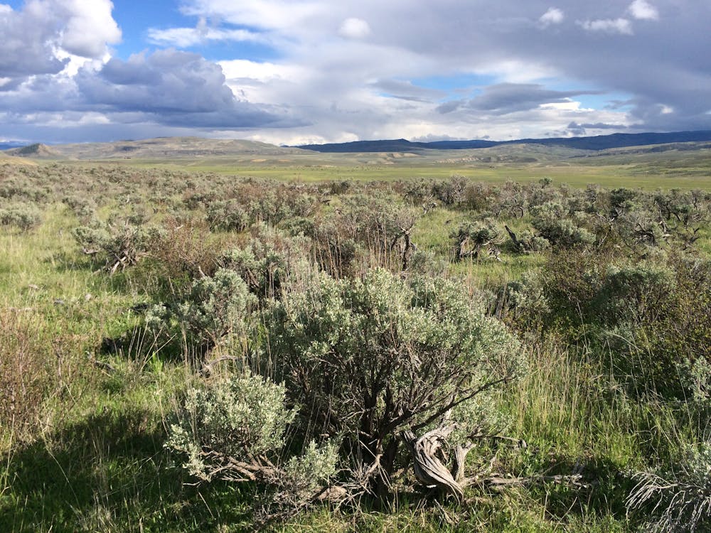
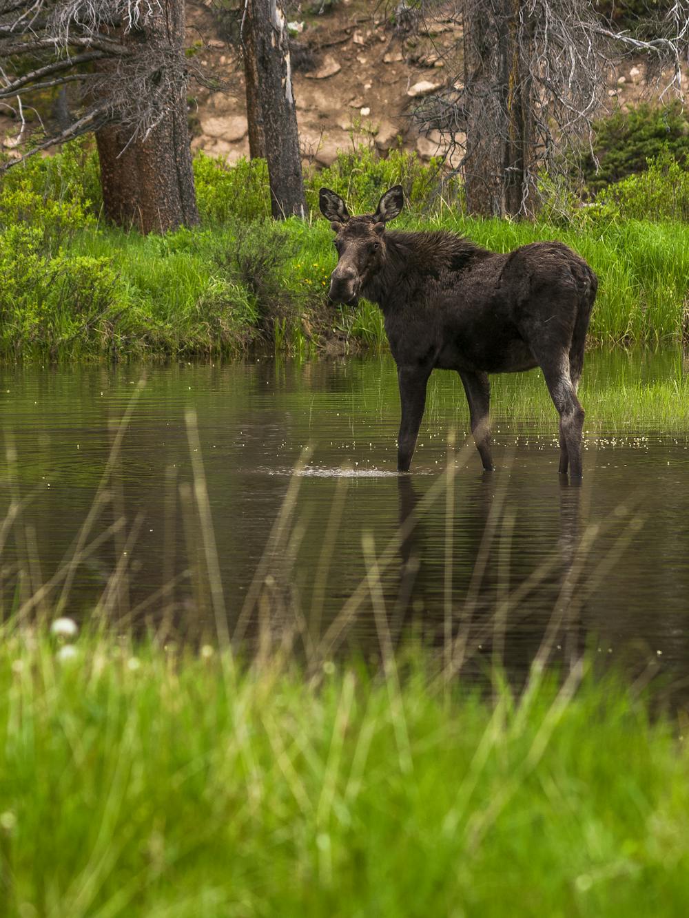
Either way, when you cross over Bowen Gulch (US-34), the trail enters the Never Summer Wilderness Area, known for its barren alpine terrain, with lower-elevation slopes covered in spruce, fir and lodgepole pine. According to the USFS, "moose have been reintroduced successfully to the area and several lakes and streams provide habitat for trout." The amount of snow and rain also allow for older-growth trees along the major ravines.
About 20-miles from Bowen Gulch, the last and final significant road crossing comes about 622-miles into the Colorado portion of the trail. CO-125, otherwise known as Willow Creek Pass, offers 10 overnight parking spaces but no notable facilities or potable water. That said, you will encounter numerous rivers, ravines, and springs along this segment. Up-to-date information on water sources can be found on the CDT Water Report as well.
Other than a few remote 4x4 road crossings, the remainder of this segment is rather quiet, though full of panoramic views as you snake your way around peaks ranging from 10,000 - 12,000' above sea level. Parkview Mountain (12,297') on the CDT is also noted as the highest point in the Rabbit Ears Range, and a popular hike for those visiting Granby or Walden. The challenging peak also awards incredible views from the summit, and "the local geology is varied and interesting," according to this source.
After exiting the national forest onto a remote county road, a 15-mile road walk leads to US-40, due southeast of Steamboat Springs. The Rabbit Ears National Monument, named after a nearby peak, denotes the segment's end. Overnight parking is available nearby and Dumont Lake Campground is situated just across the road. The CDT Coalition also prizes Steamboat Springs as a "year-round outdoor playground and a historic town where western heritage meets abundant adventure." If you're thru-hiking, consider finding your way to town to "experience Colorado's most authentic mountain town."
Sources: https://continentaldividetrail.org/ https://www.fs.usda.gov/recarea/arp/recarea/?recid=80807 https://www.summitpost.org/parkview-mountain/152632
Difficult
Hiking trails where obstacles such as rocks or roots are prevalent. Some obstacles can require care to step over or around. At times, the trail can be worn and eroded. The grade of the trail is generally quite steep, and can often lead to strenuous hiking.

The trail contains some obstacles such as outcroppings and rock which could cause injury.

In the high mountains or remote conditions, all individuals must be completely autonomous in every situation.
10 routes · Hiking

40 routes · Hiking