7 m away
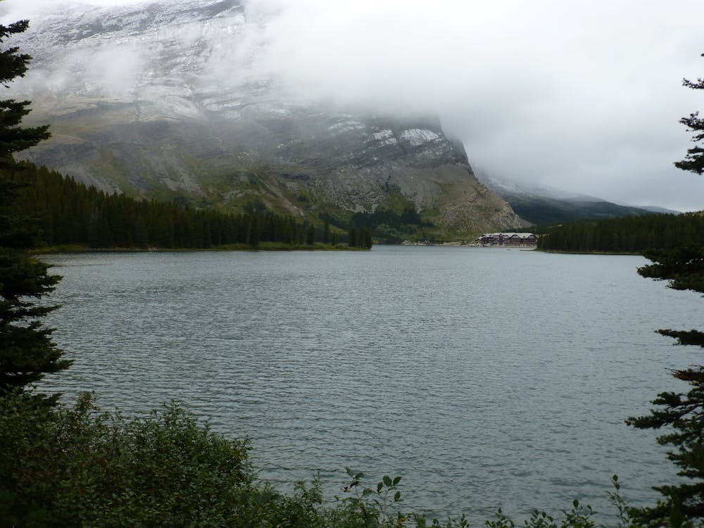
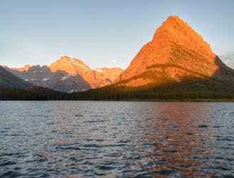
CDT: Many Glacier Hotel to Border Monument Terminus
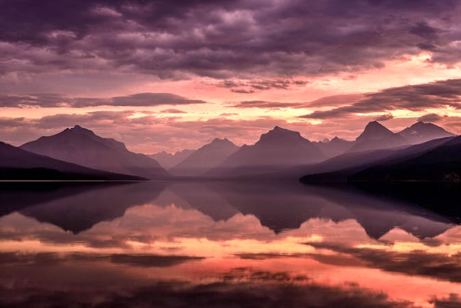
The classic finish to the CDT at the Border Monument on Waterton Lake.
Difficult Hiking
- Distance
- 56 km
- Ascent
- 2.1 km
- Descent
- 2.3 km
An alternate way to complete the CDT when snow or logistics into Canada are problematic.
Also in Alberta, Canada
Hiking Moderate

Forming the Triple Crown of Hiking in the United States, the Appalachian Trail, Pacific Crest Trail, and Continental Divide Trail are all epic endeavors that take years to plan and prepare for. On top of the extensive gear list needed to successfully complete a thru-hike, arriving at a trail's start or finish is often one of the most under-appreciated tasks for those new to the challenge.
For instance, let's take the Appalachian Trail. Its southern terminus sits atop Springer Mountain, which requires either a long dirt road recommended for only high-clearance vehicles or an 8-mile trek up the Approach Trail. The northern terminus rests atop Mount Kathadin in Baxter SP in Maine, and requires you to choose a route off the mountain - of which there are many.
All that to say, the CDT is no different. Its southern terminal requires hiring a shuttle to arrive at the Crazy Cook Monument, a remote landmark along the US/Mexico Border. In contrast, thru-hikers have two options to finish the trail at the US/Canada Border. The most popular way is via the Waterton Route, which ends at an obscure point on the border. There, hikers can continue a few more miles into Canada to the nearest trailhead. While popular, crossing an international border requires an extra layer of logistics that some aren't able to prepare for. Snow, wildfires, and trail closures are also variables that hikers must consider when choosing between both options.
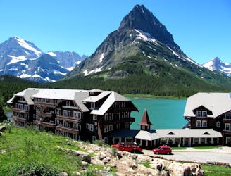
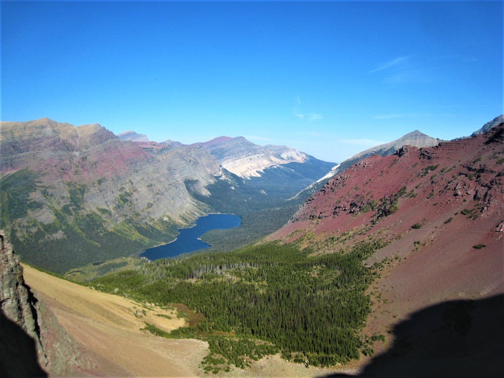
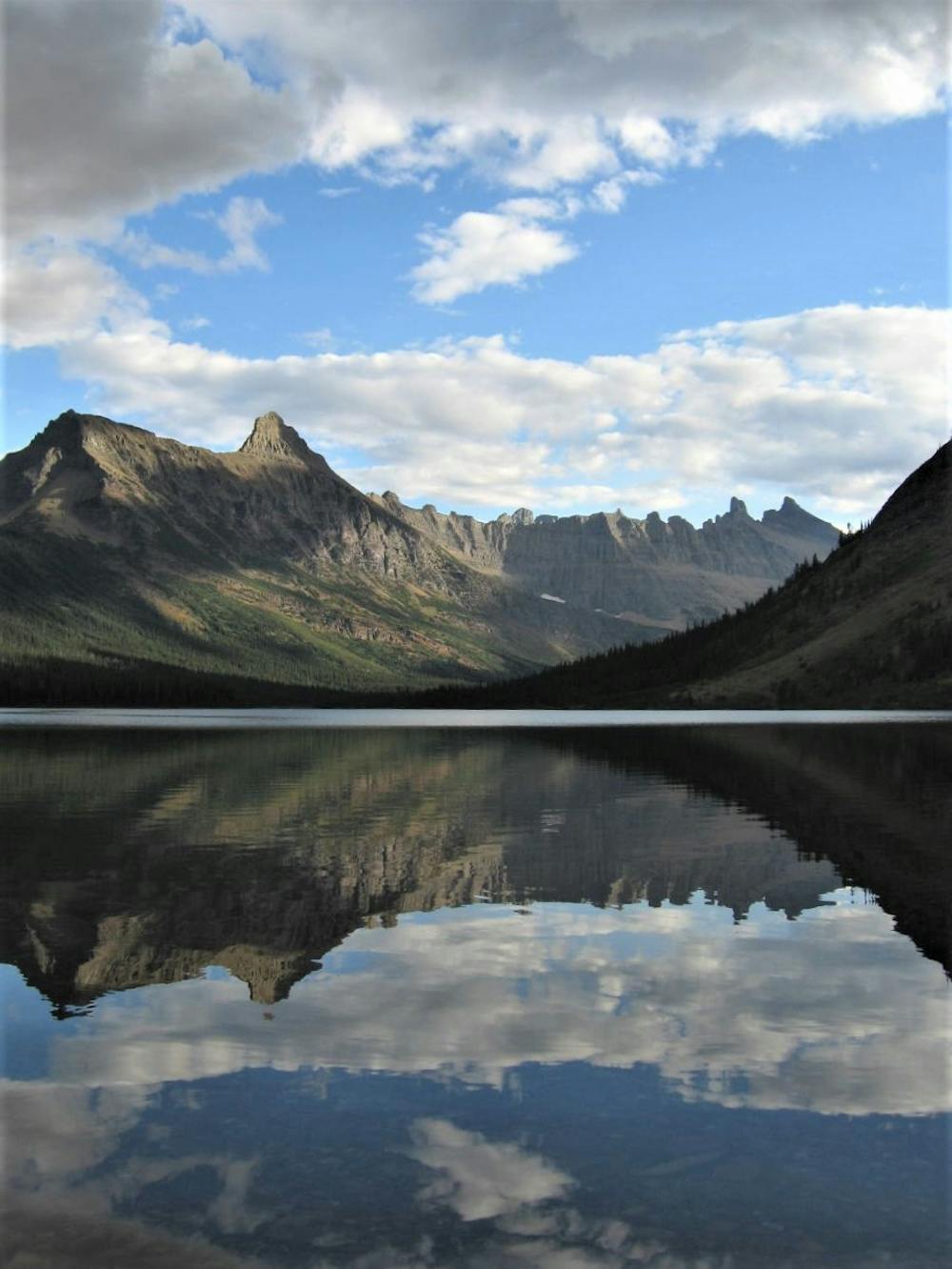
This route connects Many Glacier Hotel to Chief Mountain Highway by way of Red Gap Pass, Ptarmigan Trail, and Belly River, for a lower-elevation journey to the trail's end. Notable campsites are available at Poia and Elizabeth Lakes, two stunning glacial lakes known for the nearby peaks that often reflect off their calm surfaces. The views are nothing short of epic, and the trail hosts a more mellow finish just within the US/Canada Border. Should this route be snowed in, a road walk is another popular way to complete the CDT.
As with all of Glacier National Park, pets are prohibited on all trails in the backcountry, and wildlife is often present. Grizzlies, in particular, pose the most threat to hikers, and bear-proof canisters are required for camping in the backcountry. Bear spray also comes highly recommended, though the more popular trails tend to lead to fewer sightings.
Sources: https://thetrek.co/continental-divide-trail/10-things-2020-cdt-hikers-need-know/ https://en.wikipedia.org/wiki/ContinentalDivideTrail
Moderate
Hiking along trails with some uneven terrain and small hills. Small rocks and roots may be present.

Some trail sections have exposed ledges or steep ascents/descents where falling could cause serious injury.
Little chance of being seen or helped in case of an accident.
7 m away
The classic finish to the CDT at the Border Monument on Waterton Lake.
Difficult Hiking
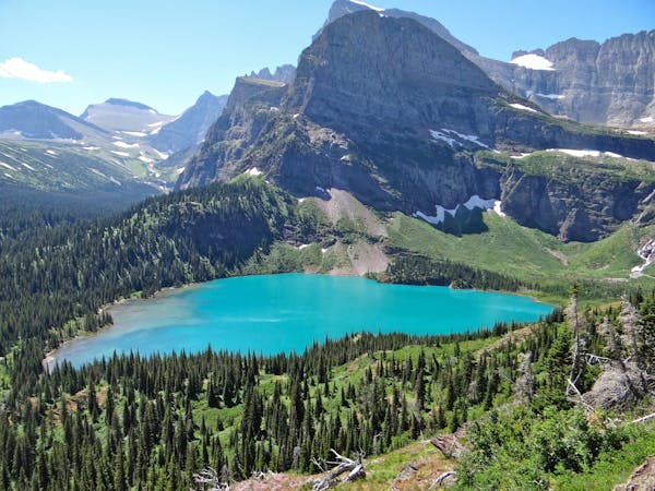
155 m away
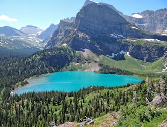
Day hike to the impressive Grinnell Glacier.
Difficult Hiking
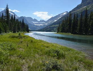
157 m away

Easygoing hike to a beautiful alpine lake.
Easy Hiking
359 m away
Gentle walk around two beautiful lakes.
Moderate Hiking
1.5 km away
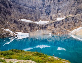
Hike to a quintessential glacial lake!
Moderate Hiking
1.5 km away
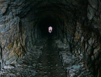
Hike through a historic tunnel at the top of the Ptarmigan Wall.
Difficult Hiking
1.5 km away
A gorgeous day hike through the Swiftcurrent Valley.
Difficult Hiking
8.9 km away
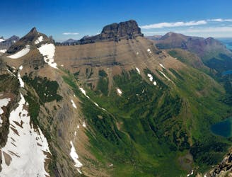
Epic side trip to one of the best views in the park.
Difficult Hiking
11 routes · Hiking
6 routes · Hiking

25 routes · Alpine Climbing · Hiking

40 routes · Hiking
13 routes · Hiking