2 m away
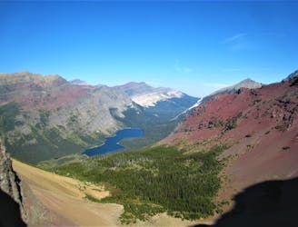
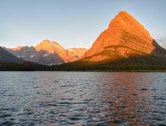
Grinnell Glacier Hike
Day hike to the impressive Grinnell Glacier.
Difficult Hiking
- Distance
- 19 km
- Ascent
- 638 m
- Descent
- 638 m
Easygoing hike to a beautiful alpine lake.
Hiking Easy

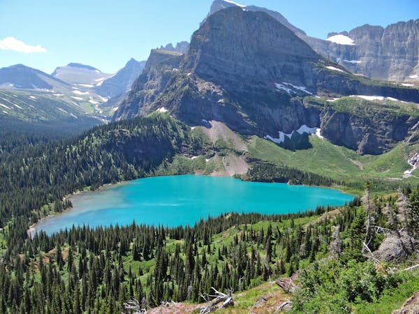
The gentle hike to Grinnell Lake is a great introductory day hike in Glacier National Park. Even though it's almost 7 miles long round-trip, this hike only has a mere 512 feet of elevation gain. You could also make the route shorter by taking a boat ride across Swiftcurrent and Josephine Lakes.
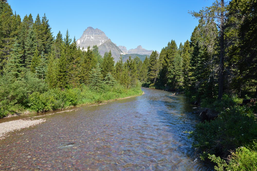
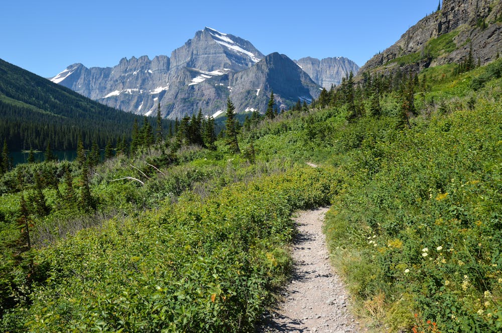
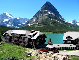
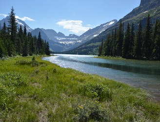
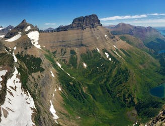
Even though the trail is mostly flat, it still provides great views. From the onset, you can view the towering peaks above. In particular, Grinnell Point stands out. This hike is also lovely because it parallels a stream for a good portion. Water and wildflowers are plentiful! As with all hikes in the Many Glacier Valley, be bear aware. Hiking in groups and making noise is recommended.
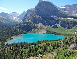
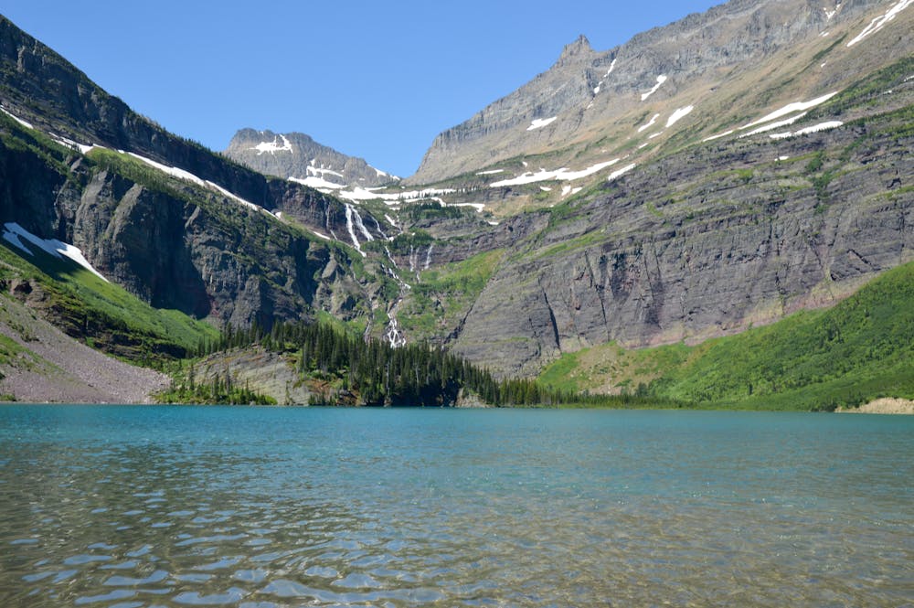
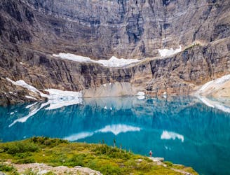
Along the way, there is a short trail to a nearby waterfall (Hidden Falls) that is worth the trip. After working your way through the trees and valley, you eventually reach Grinnell Lake. This entire basin is spectacular. Even though you can't see it, Upper Grinnell Lake sits above Lower Grinnell Lake, and you can visit this lake on the Grinnell Glacier trail. Grinnell Glacier is one of the top day hikes in the entire park!
At the lake, there is a decent amount of trail along the shore that you can explore to find a good lunch spot. If you want, a swim in the lake could be refreshing, depending on the time of year! The view of the surrounding peaks from the lake is awe-inspiring.
Simply retrace your steps back past Lake Josephine and Swiftcurrent Lake to reach the Many Glacier area.
Because this hike is on the easier side, you will likely encounter other hikers. However, this hike beats many others when it comes to views relative to the effort you have to put in. As a result, the hike to Grinnell Lake is a must-do!
Easy
Walking along a well-kept trail that’s mostly flat. No obstacles are present.

The path is on completely flat land and potential injury is limited to falling over.

Away from help but easily accessed.
2 m away
Day hike to the impressive Grinnell Glacier.
Difficult Hiking
157 m away
An alternate way to complete the CDT when snow or logistics into Canada are problematic.
Moderate Hiking
164 m away
The classic finish to the CDT at the Border Monument on Waterton Lake.
Difficult Hiking
516 m away
Gentle walk around two beautiful lakes.
Moderate Hiking
1.5 km away
Hike to a quintessential glacial lake!
Moderate Hiking
1.5 km away
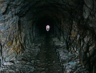
Hike through a historic tunnel at the top of the Ptarmigan Wall.
Difficult Hiking
1.6 km away
A gorgeous day hike through the Swiftcurrent Valley.
Difficult Hiking
8.9 km away
Epic side trip to one of the best views in the park.
Difficult Hiking
11 routes · Hiking
6 routes · Hiking

25 routes · Alpine Climbing · Hiking

40 routes · Hiking
13 routes · Hiking