2 m away
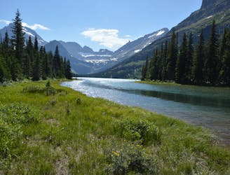
Iceberg Lake
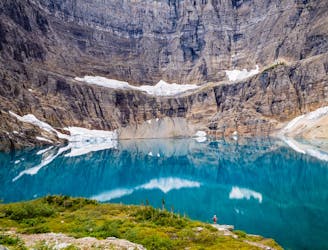
Hike to a quintessential glacial lake!
Moderate Hiking
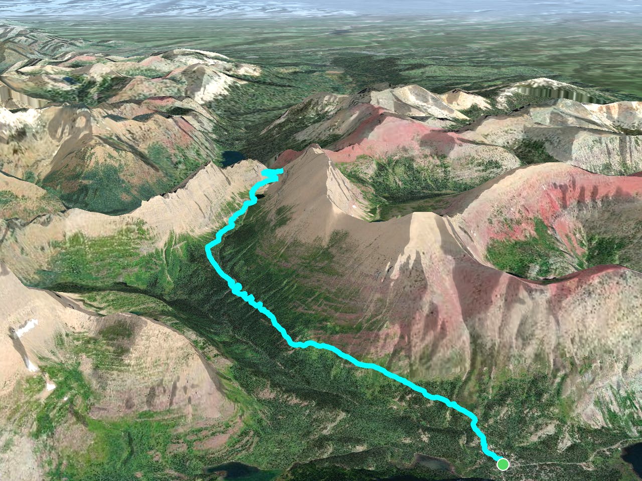
- Distance
- 16 km
- Ascent
- 468 m
- Descent
- 468 m
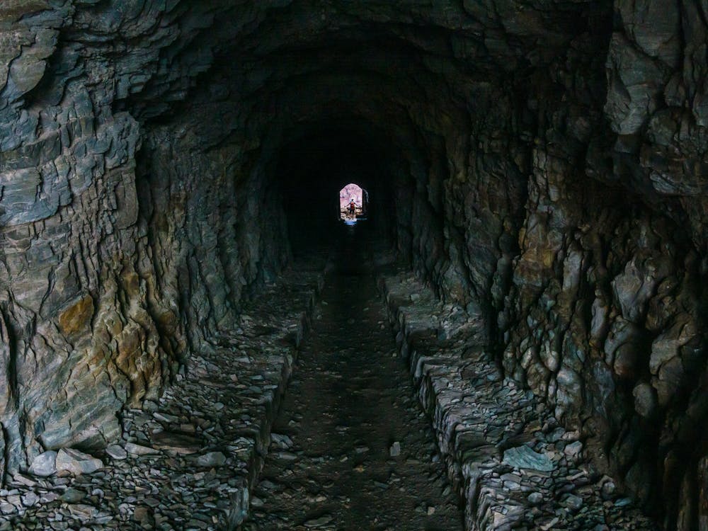
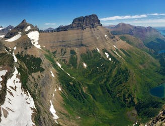
Hike through a historic tunnel at the top of the Ptarmigan Wall.
Hiking Difficult
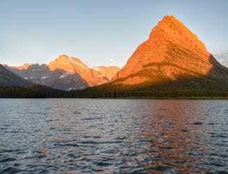
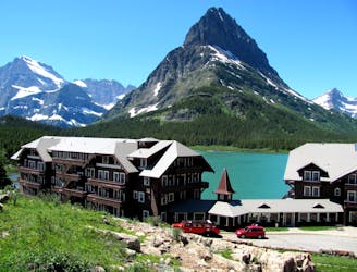
This hike is in the Many Glacier region of Glacier National Park. The trailhead is located at the end of Hwy 3. just past the Swiftcurrent Motor Inn.
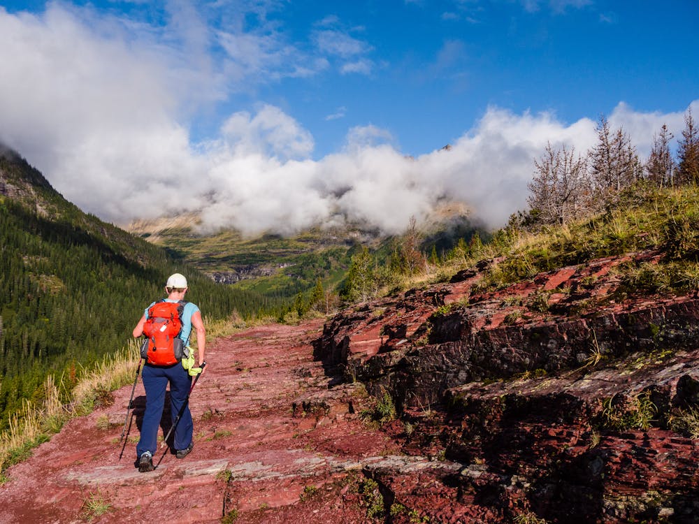
The first 2.7 miles is on the shared Iceberg-Ptarmigan Trail, a well-defined, gently-graded approach. This trail is commonly frequented by Glacier's grizzly bears, so check with the rangers before setting out. At 2.7 miles, the shared trail splits, take the right option to Ptarmigan Lake.
Starting this hike early makes it possible to avoid many of the hikers heading up the Iceberg-Ptarmigan Trail and even more likely to enjoy solitude once on the Ptarmigan Trail. This is a popular route, but the vast majority of hikers tend to start mid-morning.
There are some beautiful views where the Iceberg-Ptarmigan Trail is out in the open. Then, it snakes up through a lovely wooded stretch before passing by Ptarmigan Falls on a nice footbridge. This makes a wonderful place to take a breather before continuing on.
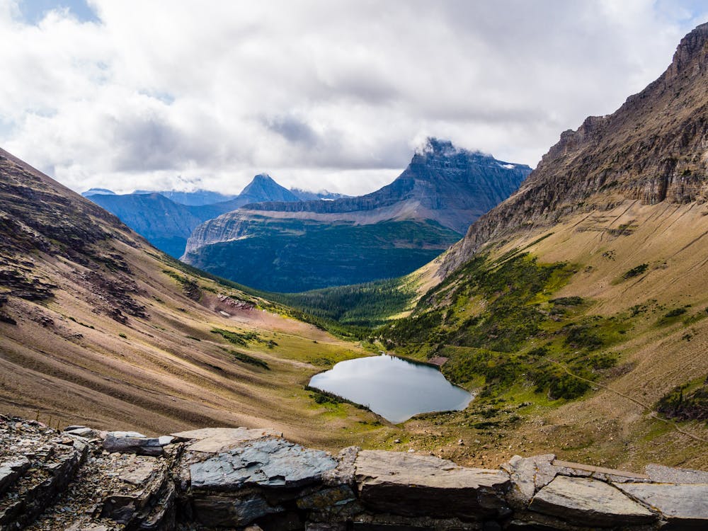
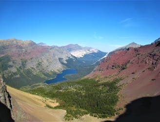
Not long after the falls is the well-signed intersection with the Iceberg Lake Trail. From the intersection, the trail climbs a bit more seriously as it passes through woods, then leaves the trees behind. After crossing some large meadows, and traversing a scree field, the sparkling little Ptarmigan Lake appears. Enjoy the serene setting before embarking on the final ½ mile.
Until this point, the elevation gain is fairly mild, but the switchbacks leading to the tunnel way up near the top of the wall steepen considerably. Thankfully, these switchbacks ascended in a relatively friendly manner, making the ascent simply a matter of putting one-foot-in-front-of-the-other.
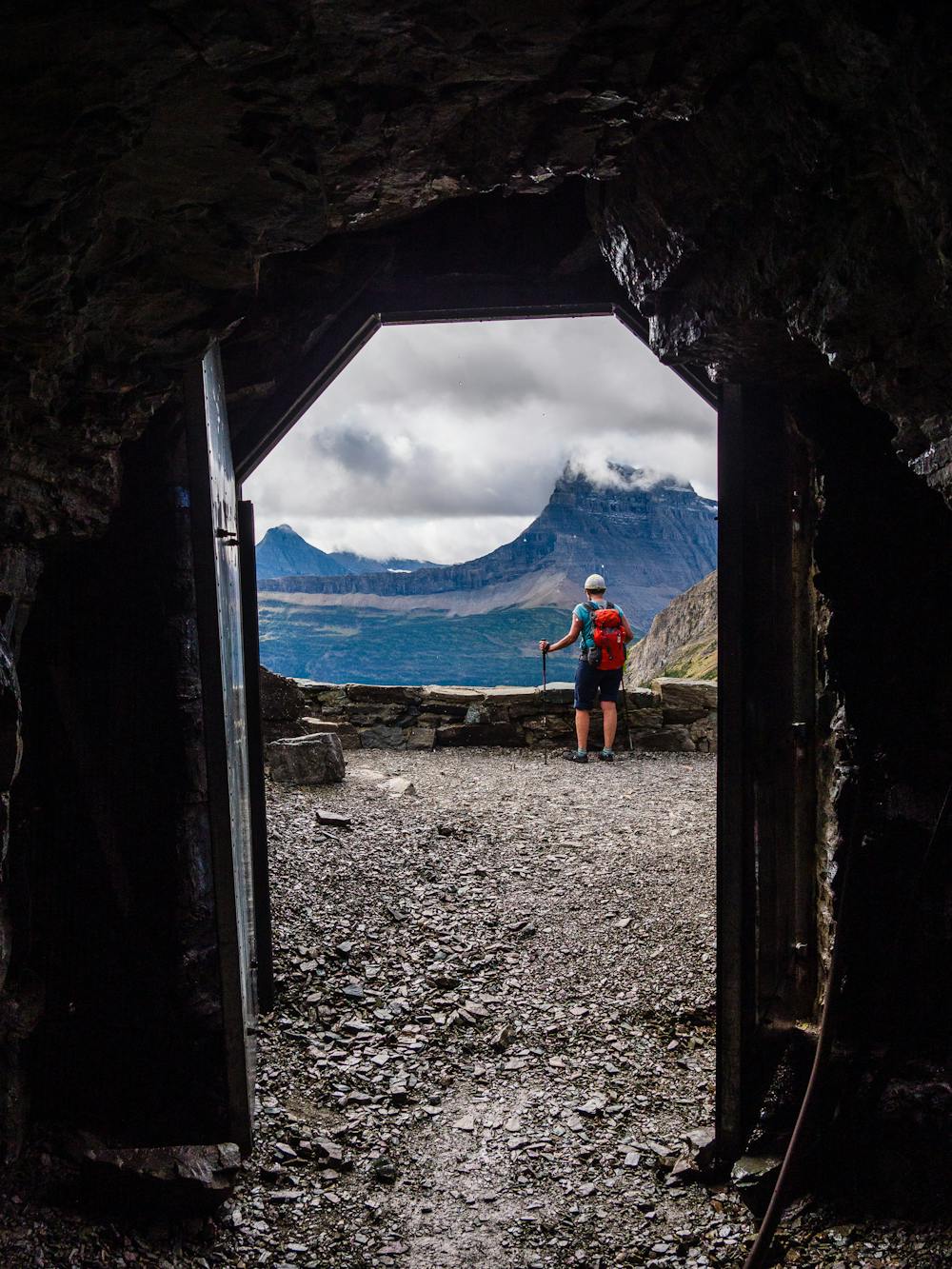
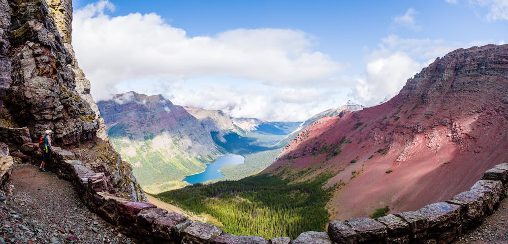
Within a ½ mile, the goal of the hike opens up at the mouth of the tunnel! The tunnel was built back in 1931 by the CCC (Civilian Conservation Corp). The men had to blast through the Ptarmigan Wall to create the 240' long tunnel, which connects the Belly River Valley at the north end with the Many Glacier Valley at the south end. Walk through the tunnel for a breathtaking view of Elizabeth Lake sitting pretty down in the Belly River Valley. While savoring the views, reflect on the sheer amount of work and the magnificent force it required of the CCC to build so many National Park trails.
Once sated, hike back through the tunnel, then descend past Ptarmigan Lake and on to the trailhead to complete this memorable 10.5-mile trek.
Difficult
Hiking trails where obstacles such as rocks or roots are prevalent. Some obstacles can require care to step over or around. At times, the trail can be worn and eroded. The grade of the trail is generally quite steep, and can often lead to strenuous hiking.

The trail contains some obstacles such as outcroppings and rock which could cause injury.

Little chance of being seen or helped in case of an accident.
2 m away
Hike to a quintessential glacial lake!
Moderate Hiking
63 m away
A gorgeous day hike through the Swiftcurrent Valley.
Difficult Hiking
1.5 km away
An alternate way to complete the CDT when snow or logistics into Canada are problematic.
Moderate Hiking
1.5 km away
The classic finish to the CDT at the Border Monument on Waterton Lake.
Difficult Hiking
1.5 km away

Easygoing hike to a beautiful alpine lake.
Easy Hiking
1.5 km away
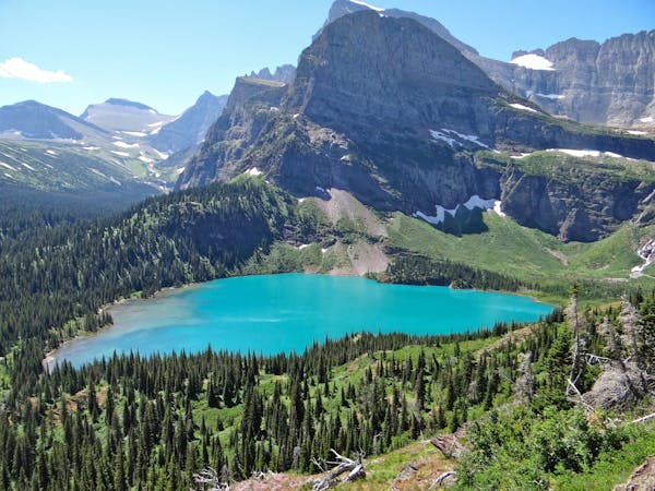
Day hike to the impressive Grinnell Glacier.
Difficult Hiking
1.6 km away
Gentle walk around two beautiful lakes.
Moderate Hiking
7.5 km away
Epic side trip to one of the best views in the park.
Difficult Hiking
11 routes · Hiking
6 routes · Hiking

25 routes · Alpine Climbing · Hiking

40 routes · Hiking
13 routes · Hiking