7 routes · Resort Ski Touring · Ski Touring
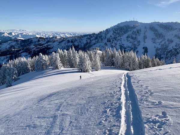
The inbounds uphill route at Bogus Basin.
Resort Ski Touring Moderate

This well-used skin track goes up to the Deer Point radio towers, where you can then transition and ski pistes to the base area. It provides free uphill access even during operating hours. Note that snowshoes are allowed on the track but skis or a snowboard are required to descend.
Moderate

Close to help in case of emergency.
7 routes · Resort Ski Touring · Ski Touring