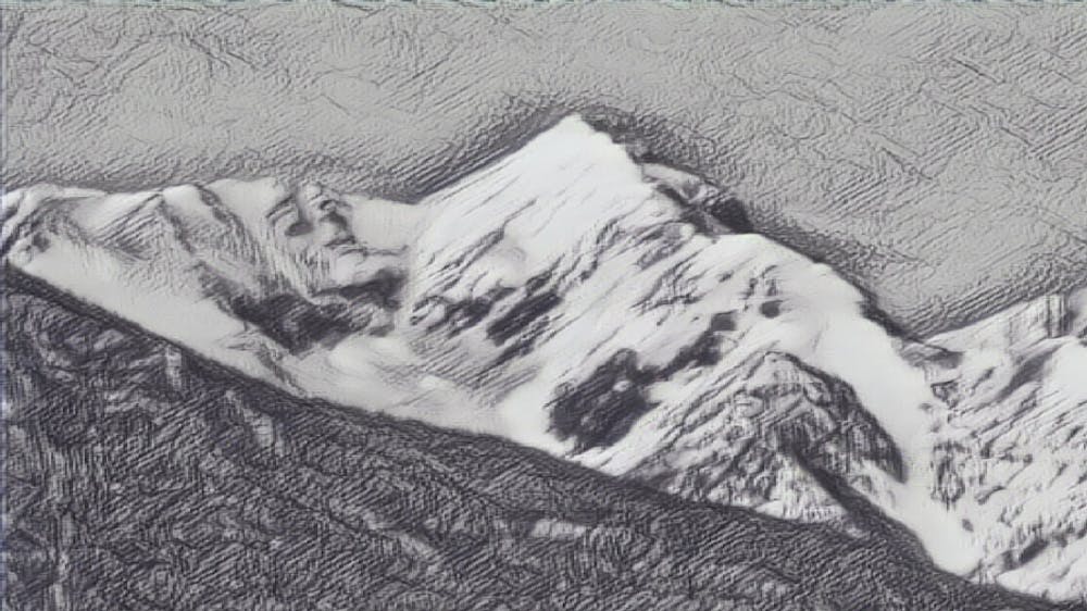
Little Diamond Peak
KNIFE AND SPOON - an exposed ridgeline connecting a lengthy bowl and gully.
Ski Touring Difficult
- Distance
- 14 km
- Ascent
- 1.5 km
- Descent
- 1.5 km
- Duration
- 7-8 hrs
- Low Point
- 2.1 km
- High Point
- 3.4 km
- Gradient
- 34˚

This is a popular ski touring route which is generally considered to be difficult. It's extremely remote, it features medium exposure (e2) and is typically done between April and June. From a low point of 2.1 km to the maximum altitude of 3.4 km, the route covers 14 km, 1488 vertical metres of ascent and 1487 vertical metres of descent. It's graded 3.1 and Labande grade 3. You'll need skins, ice axe and crampons to complete it safely.
Description
Ascend/descend the eastern gully and East Ridge of Little Diamond Peak. Expect moderate exposure along the East Ridge. A rock step at 10,700' may provide some additional spice.
Access to Eightmile Trailhead is typically possible by April.
Difficulty
Difficult
Serious gradient of 30-38 degrees where a real risk of slipping exists.
Medium Exposure (E2)

As well as the slope itself, there are some obstacles (such as rock outcrops) which could aggravate injury.
Remoteness

In the high mountains or remote conditions, all individuals must be completely autonomous in every situation.
Best time to visit
Features
- Bowl
- Alpine
- Cliffs
- Ski Mountaineering
Equipment required
- Skins
- Ice axe
- Crampons