Turn & Burn
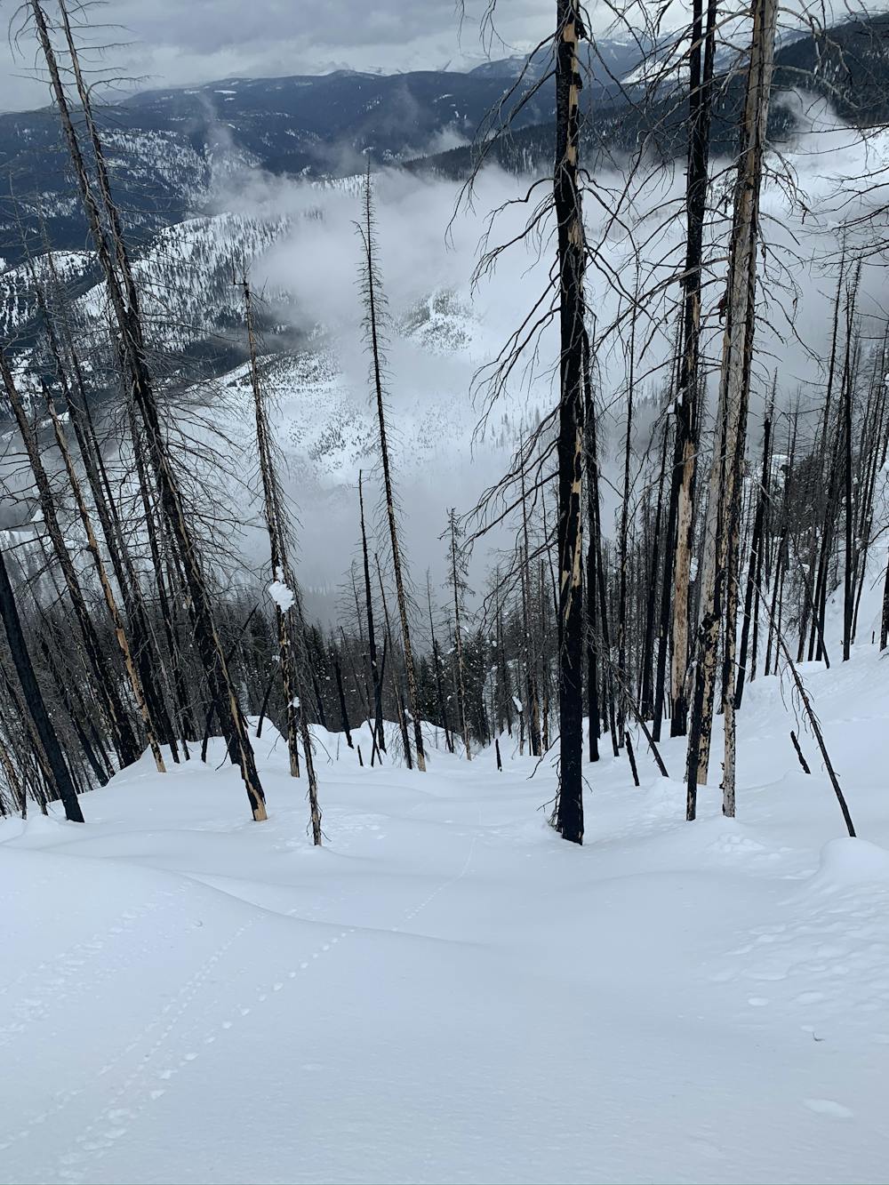
Upper Burn Glade into an Avy Chute
Ski Touring Moderate
- Distance
- 829 m
- Ascent
- 0 m
- Descent
- 522 m
- Duration
- 0-1 hrs
- Low Point
- 1.5 km
- High Point
- 2.1 km
- Gradient
- 45˚

This is a popular ski touring route which is generally considered to be moderate. It's very remote, it features low exposure (e1) and is typically done between February and March. From a low point of 1.5 km to the maximum altitude of 2.1 km, the route covers 829 m, 0 vertical metres of ascent and 522 vertical metres of descent.
Description
A fun steep upper burn glade section will deposit you for another 1000ft avalanche chute
Difficulty
Moderate
Slopes become slightly steeper at around 25-30 degrees.
Low Exposure (E1)

Exposure is limited to that of the slope itself. Getting hurt is still likely if the slope is steep and/or the snow is hard.
Remoteness

Little chance of being seen or helped in case of an accident.
Best time to visit
Features
- Tree Skiing