Auxier Ridge Loop
Hiking loop featuring beautiful views and impressive rock formations.
Hiking Difficult
- Distance
- 9.6 km
- Ascent
- 390 m
- Descent
- 390 m
- Duration
- 2-3 hrs
- Low Point
- 236 m
- High Point
- 396 m
- Gradient
- 8˚

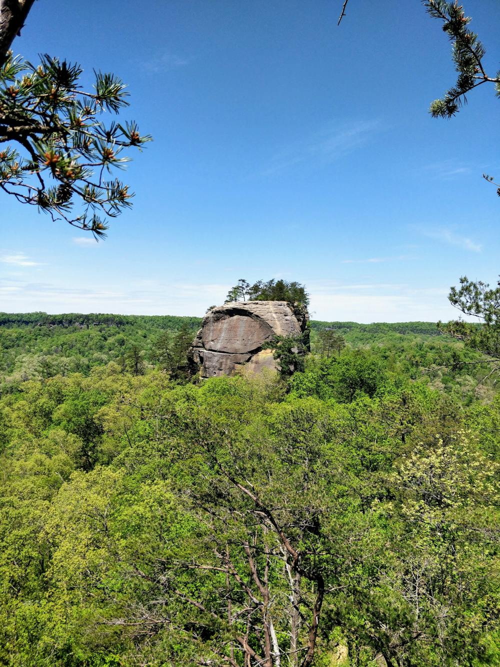
This hiking loop features beautiful views along Auxier Ridge until the northernmost point at Courthouse Rock. From there, it drops into a valley and follows a creek bed until a junction. Turning right at the junction will take you towards Double Arch, which offers views of Auxier Ridge to the east. Turning left will take you back to the trailhead via a gated forest road.
Difficulty
Difficult
Hiking trails where obstacles such as rocks or roots are prevalent. Some obstacles can require care to step over or around. At times, the trail can be worn and eroded. The grade of the trail is generally quite steep, and can often lead to strenuous hiking.
Extreme Exposure

Some trail sections are extremely exposed where falling will almost certainly result in serious injury or death.
Remoteness

Away from help but easily accessed.
Best time to visit
Features
- Picturesque
- Forestry or heavy vegetation