Blue Hill Mountain
Easy-to-moderate hike up a small mountain in down-east Maine
Hiking Easy
- Distance
- 3.9 km
- Ascent
- 211 m
- Descent
- 212 m
- Duration
- 1-2 hrs
- Low Point
- 108 m
- High Point
- 283 m
- Gradient
- 8˚

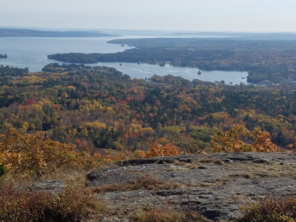
Blue Hill Mountain has an easy-to-moderate hike up to the small mountain’s summit with great views at & around the summit of the surrounding ocean and the distant mountains of Mount Desert Island. For the best views, descend from the summit along Larry's Summit Loop to the Hayes Trail.
Description
To find the trail head, from US 1 in Orland, turn onto Rt 15 toward Blue Hill and after 11.8 miles take a left onto Mountain Road. There are two trail heads on Mountain Road, each with parking on the opposite side of the road. The hike described here begins and ends at the Osgood trail head, located a half mile down Mountain Road.
For more info about this hike, please visit my blog: <a href="http://www.ericsturgeon.com/blog/blue-hill-mountain/">Blue Hill Mountain Trail Guide - Eric's Maine Life</a>
Difficulty
Easy
Walking along a well-kept trail that’s mostly flat. No obstacles are present.
Medium Exposure

The trail contains some obstacles such as outcroppings and rock which could cause injury.
Remoteness

Close to help in case of emergency.
Best time to visit
Features
- Picturesque
- Summit Hike
- Family friendly