Hiking Mount Kineo, Moosehead Lake, Maine
3.4 mile steep hike up Mount Kineo on an island in Moosehead Lake, Maine
Hiking Moderate
- Distance
- 5.4 km
- Ascent
- 276 m
- Descent
- 276 m
- Duration
- 1-2 hrs
- Low Point
- 311 m
- High Point
- 550 m
- Gradient
- 13˚

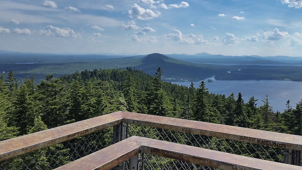
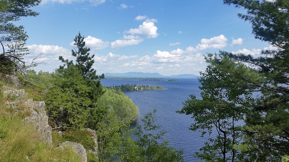
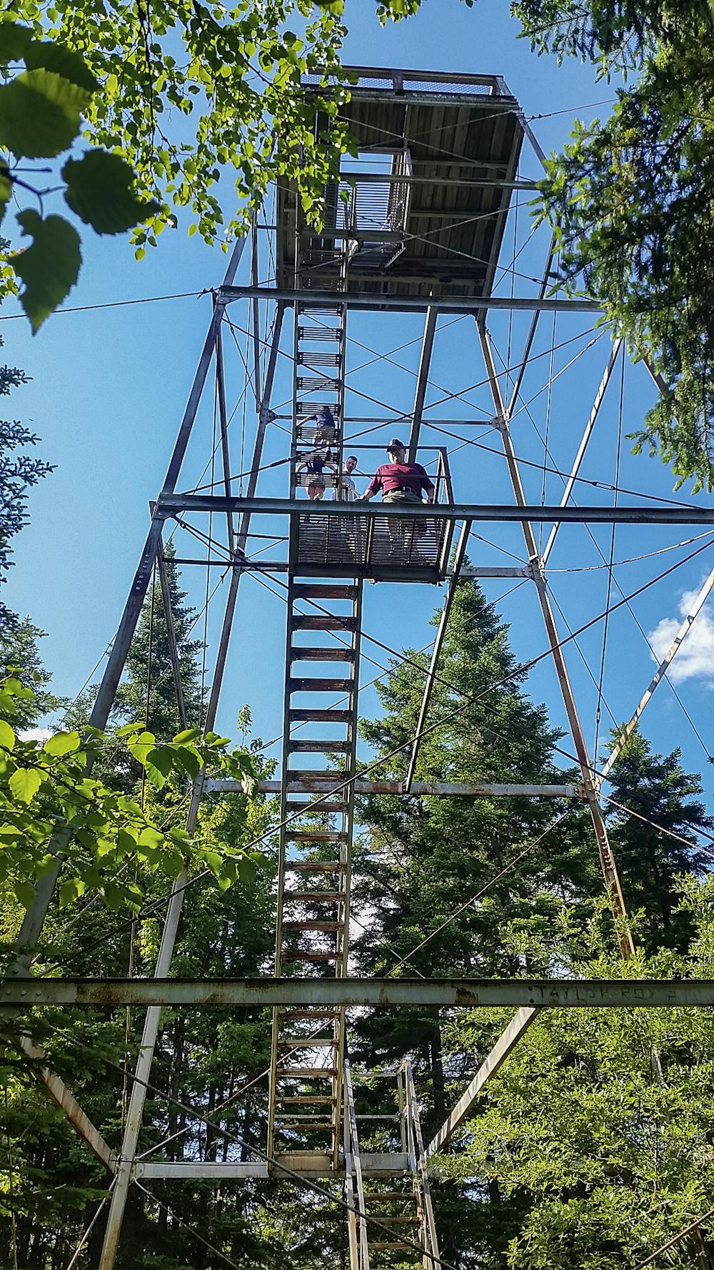
This is a 3.4 mile hike up to Mount Kineo with an elevation gain of about 1,000 feet and some steep cliffs you’ll walk past on your way up.
- •
- •
- •
Description
This particular loop takes the carriage trail, then up the indian trail to the summit and descends the bridle trail and reconnects with the carriage trail. A longer loop around the perimeter of the island is also possible.
For more info and photos about this hike, please visit my blog: <a href="http://www.ericsturgeon.com/blog/mount-kineo-hike-moosehead-lake/">Mt. Kineo Trail Guide - Eric's Maine Life</a>
Difficulty
Moderate
Hiking along trails with some uneven terrain and small hills. Small rocks and roots may be present.
High Exposure

Some trail sections have exposed ledges or steep ascents/descents where falling could cause serious injury.
Remoteness

Away from help but easily accessed.
Best time to visit
Features
- Picturesque
- Summit Hike
- Family friendly
- Forestry or heavy vegetation