122 m away
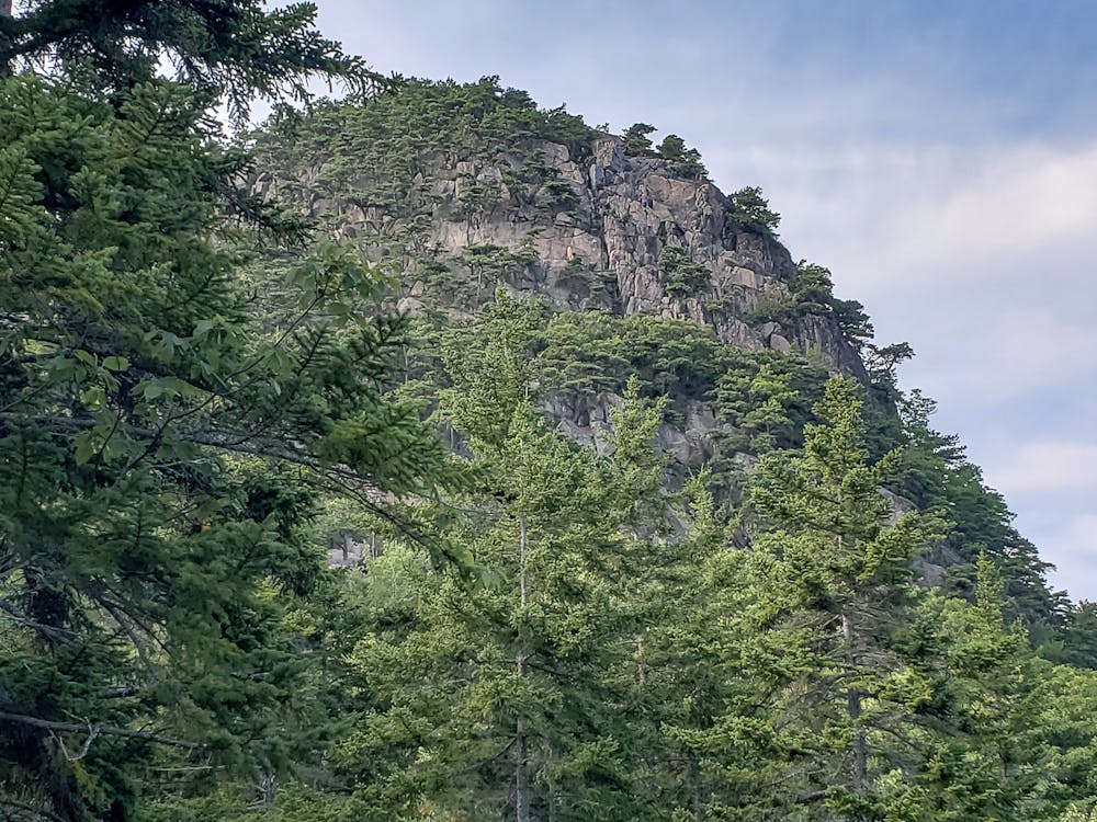
Beehive Trail
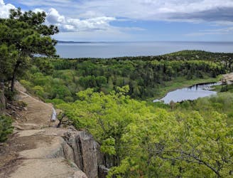
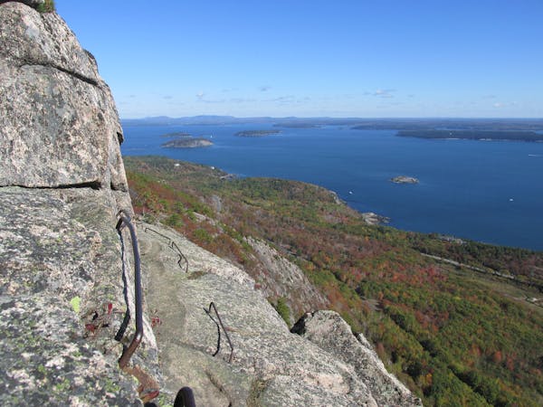
The easiest "rung and ladder" trail known for its stunning views and cliffside exposure.
Severe Hiking
- Distance
- 2.5 km
- Ascent
- 169 m
- Descent
- 169 m
A short & steep hike with a few technical areas where iron rungs are briefly used to climb up the side of the mountain
Hiking Moderate

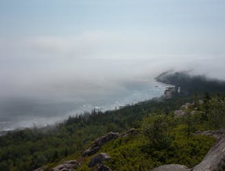
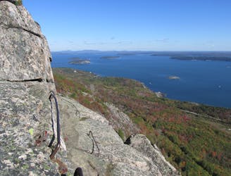
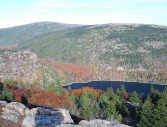
The beehive loop hike at Acadia National Park is a short & steep hike with a few exciting (scary) sections where iron rungs are used to climb up the side of the mountain
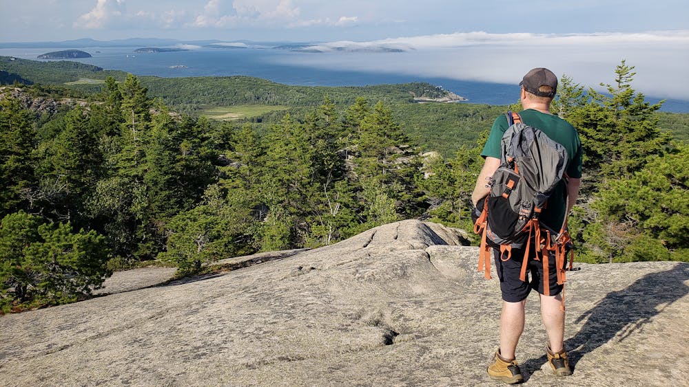
This loop is only about a mile and half long with a 650 foot ascent and it should take just about an hour to complete.
You'll want to ascend the beehive only, as descending the beehive would be dangerous and you would cause congestion on the very narrow trail.
Start at The Bowl trail head across the street from the parking lot for Sand Beach. This is a very busy parking lot in the summer and the fall, so I suggest parking at the visitor center and taking the free shuttle to the Sand Beach parking lot.
Fore more info, visit my blog: <a href="http://www.ericsturgeon.com/blog/beehive-loop-hike-acadia-national-park/">Acadia Beehive Loop Trail Guide</a>
Moderate
Hiking along trails with some uneven terrain and small hills. Small rocks and roots may be present.

Some trail sections have exposed ledges or steep ascents/descents where falling could cause serious injury.

Close to help in case of emergency.
122 m away
The easiest "rung and ladder" trail known for its stunning views and cliffside exposure.
Severe Hiking
589 m away
A scenic coastal hike with expansive views and the ruins of a historic tea house.
Moderate Hiking
1.7 km away
A summit loop over Gorham Mountain known for its expansive oceanside views and rocky shoreline.
Difficult Hiking
2 km away
Climb up metal ladders in cliffsides and skirt along exposed rock ledges on this death-defying hike!
Extreme Hiking
3.9 km away
A short summit hike atop the highest peak in Acadia National Park.
Moderate Hiking
5.3 km away
A circuit including North Bubble, South Bubble, and Conners Nubble - with impressive views from each.
Moderate Hiking
5.6 km away
A challenging and incredibly scenic day hike with "iron rungs and ladders" along Jordan Cliffs and Penobscot Mountain.
Severe Hiking

25 routes · Alpine Climbing · Hiking

10 routes · Hiking
13 routes · Hiking
4 routes · Hiking

63 routes · Alpine Climbing · Hiking