23 m away
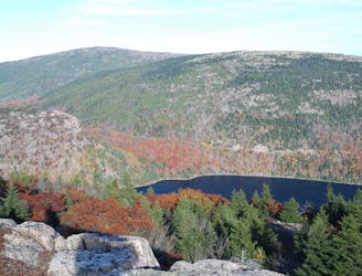
Bubbles Nubble Loop
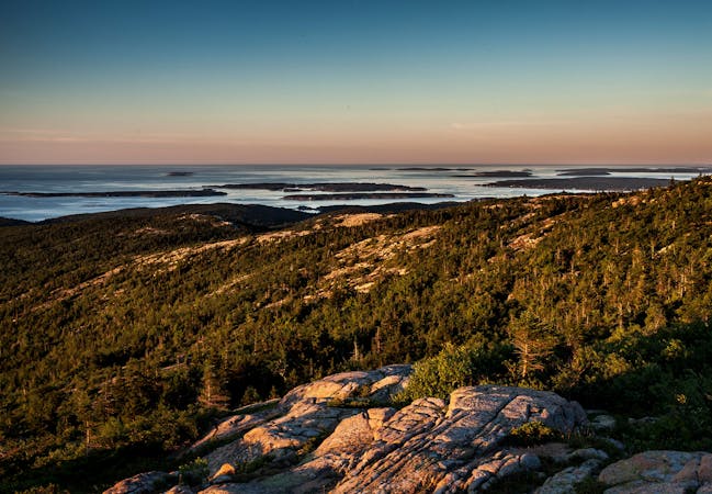
A circuit including North Bubble, South Bubble, and Conners Nubble - with impressive views from each.
Moderate Hiking
- Distance
- 6.7 km
- Ascent
- 288 m
- Descent
- 288 m
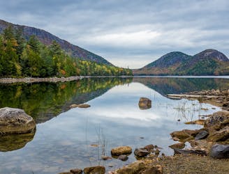
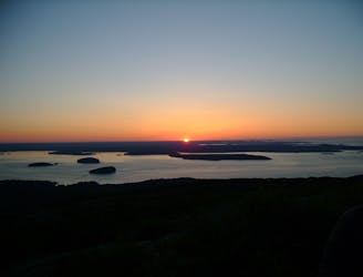
The Bubbles Divide Trail to North & South Bubble
Hiking Easy

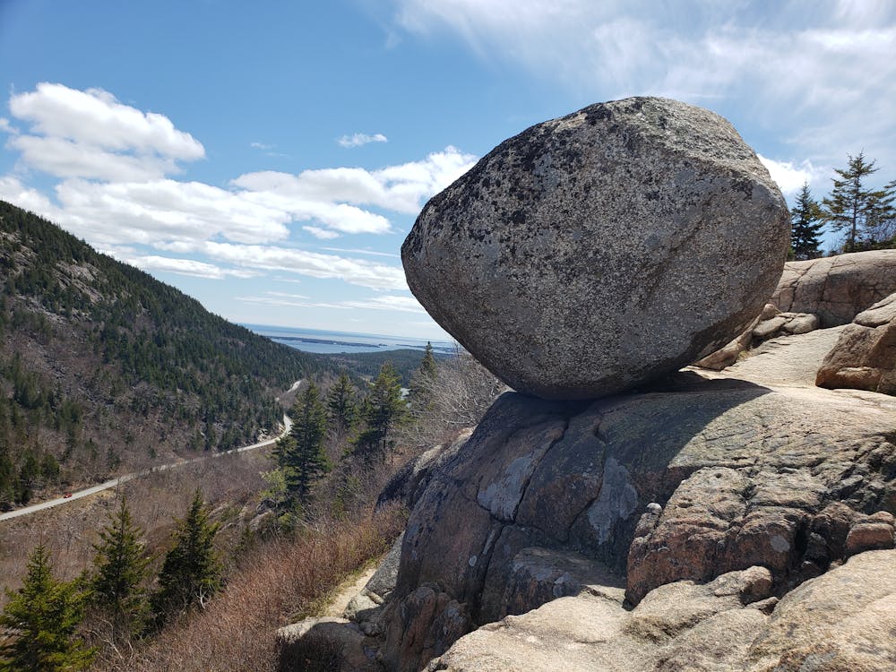
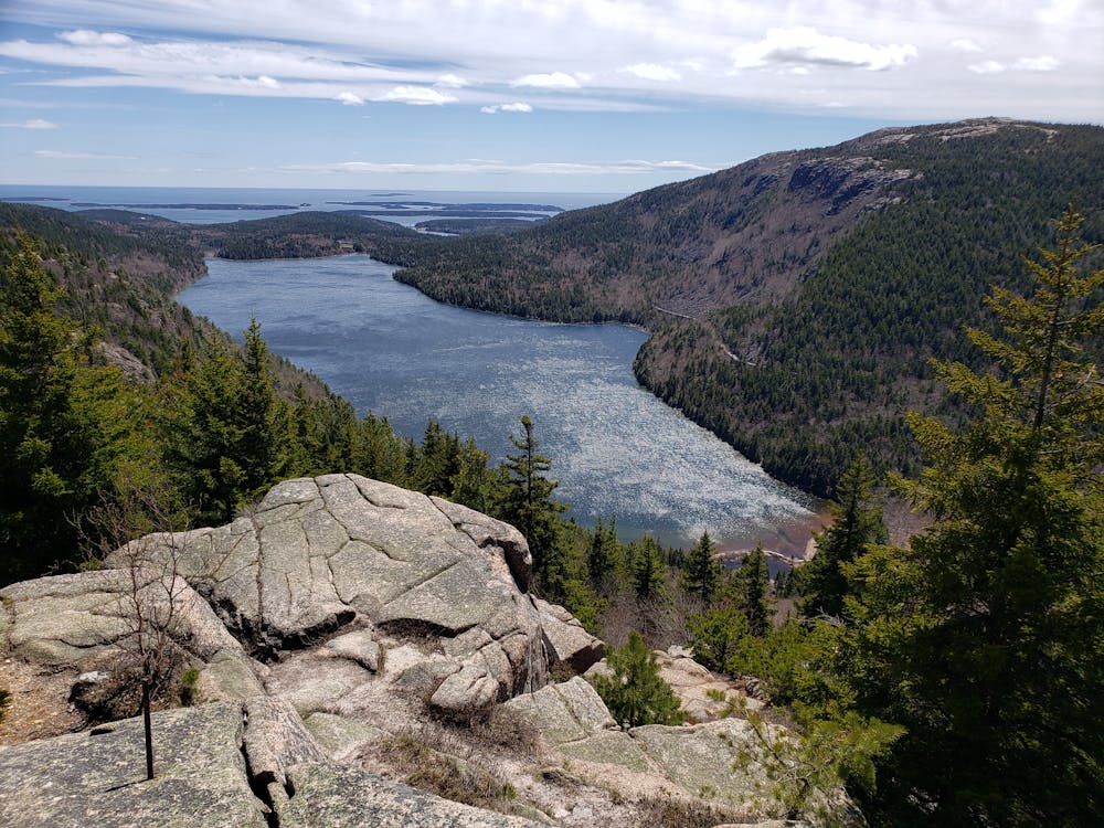
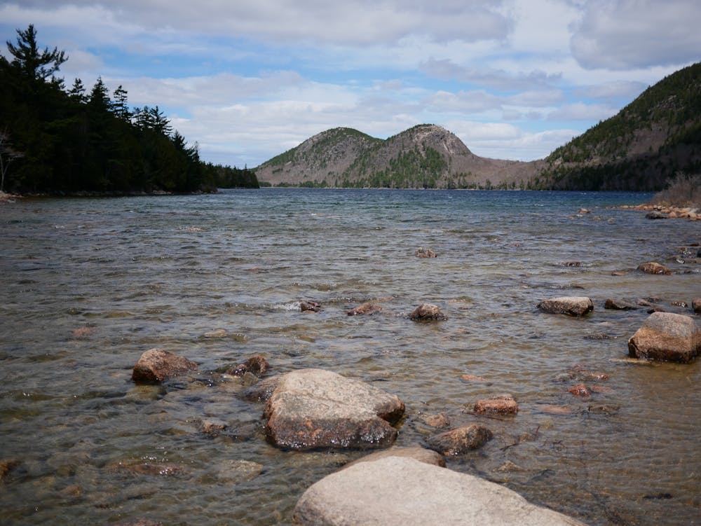
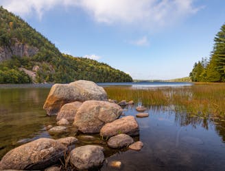
This 1.8 mile hike leaves from The Bubbles parking lot on Acadia's Park Loop Road, to Bubble Rock on South Bubble, then North Bubble for views of Jordan Pond, Sargent Mountain and Pemetic Mountain.
For more info about this hike, please visit my blog: <a href="http://www.ericsturgeon.com/blog/bubble-rock-trail-hike-acadia/">Acadia National Park Bubbles Trail Guide - Eric's Maine Life</a>
Easy
Walking along a well-kept trail that’s mostly flat. No obstacles are present.

The trail contains some obstacles such as outcroppings and rock which could cause injury.
Away from help but easily accessed.
23 m away
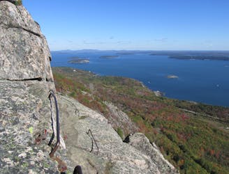
A circuit including North Bubble, South Bubble, and Conners Nubble - with impressive views from each.
Moderate Hiking
2.3 km away
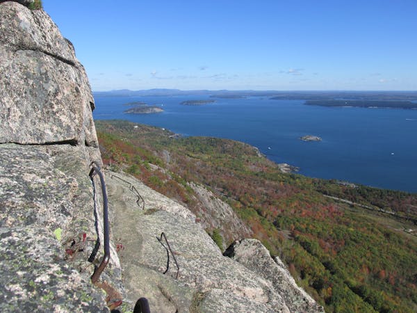
A challenging and incredibly scenic day hike with "iron rungs and ladders" along Jordan Cliffs and Penobscot Mountain.
Severe Hiking
2.5 km away
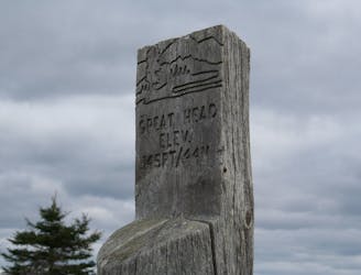
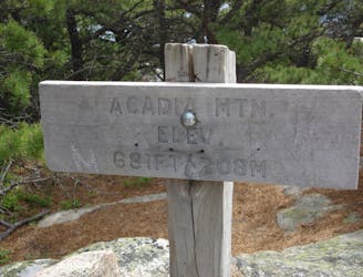
A short summit hike atop the highest peak in Acadia National Park.
Moderate Hiking
5.1 km away
Climb up metal ladders in cliffsides and skirt along exposed rock ledges on this death-defying hike!
Extreme Hiking
5.4 km away
The easiest "rung and ladder" trail known for its stunning views and cliffside exposure.
Severe Hiking
5.4 km away

A summit loop over Gorham Mountain known for its expansive oceanside views and rocky shoreline.
Difficult Hiking
5.8 km away
A scenic coastal hike with expansive views and the ruins of a historic tea house.
Moderate Hiking
6.9 km away
A classic Acadia hike with 3 summits and plenty of views.
Difficult Hiking
7.5 km away
An "iron rung" loop reserved for adventurous hikers without a fear of heights.
Severe Hiking

25 routes · Alpine Climbing · Hiking

10 routes · Hiking
13 routes · Hiking
4 routes · Hiking

63 routes · Alpine Climbing · Hiking