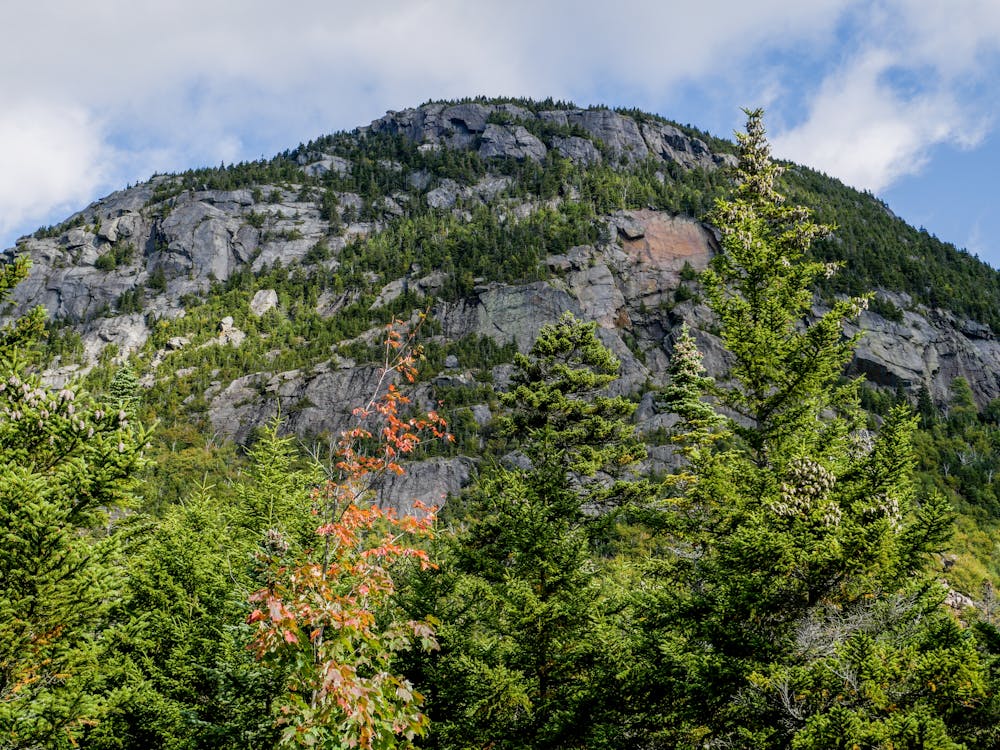
Tumbledown Mountain
Up the loop trail and down the brook trail
Hiking Difficult
- Distance
- 7.6 km
- Ascent
- 563 m
- Descent
- 634 m
- Duration
- 2-3 hrs
- Low Point
- 337 m
- High Point
- 930 m
- Gradient
- 17˚

Going up the loop trail, there are some very steep sections and lots of roots and boulders. After going through the chimney (fat man's mysery) the peak is just a bit farther where you have wonderful 360 views. Tumbledown Pond is a great place to rest before taking the uninteresting brook trail down. We had a car at each trail head but otherwise you'll need to hike for about another mile and a half on the dirt road between trail heads for the loop trail and brook trail.
Description
For more info & pictures, check out my blog about <a href="https://www.ericsturgeon.com/blog/tumbledown-mountain-loop-trail/">Hiking Tumbledown Mountain Loop</a>
Difficulty
Difficult
Hiking trails where obstacles such as rocks or roots are prevalent. Some obstacles can require care to step over or around. At times, the trail can be worn and eroded. The grade of the trail is generally quite steep, and can often lead to strenuous hiking.
High Exposure

Some trail sections have exposed ledges or steep ascents/descents where falling could cause serious injury.
Remoteness
Little chance of being seen or helped in case of an accident.
Best time to visit
Features
- Picturesque
- Summit Hike