Neponset River Greenway
Boston
A tranquil ride along a famous waterway
Gravel Biking Easy
- Distance
- 23 km
- Ascent
- 134 m
- Descent
- 134 m
- Duration
- 1-2 hrs
- Low Point
- 1 m
- High Point
- 25 m
- Gradient
- 1˚

Following Boston's second most famous river - after the Charles River, this is a wonderfully quiet journey. There are snippets of urban life to be sampled along the way, but on the whole this is a much less cultural and far more natural journey than the trip down the southwest corridor path
Description
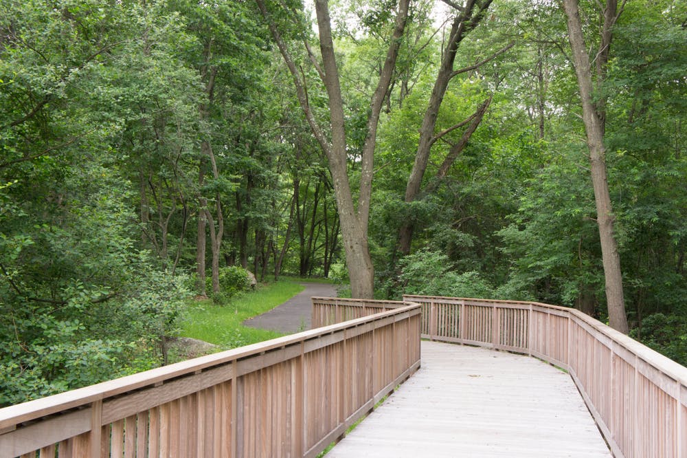
One of the highlights of biking along the Neponset River Greenway is the opportunity to explore the diverse ecosystems that line the riverbanks. With everything from lush woodlands to expansive wetlands, this is a diverse trip through some of the most remote-feeling terrain in Greater Boston.
We've shown the ride going down to the Neponset River Reservation, but you can turn back and return to the coast whenever your legs have had enough!
Difficulty
Easy
Remoteness

Away from help but easily accessed.