Hunter Point
This quick hike provides a fantastic view-to-effort ratio!
Hiking Easy
- Distance
- 1.5 km
- Ascent
- 7 m
- Descent
- 7 m
- Duration
- 0-1 hrs
- Low Point
- 182 m
- High Point
- 188 m
- Gradient
- 0˚

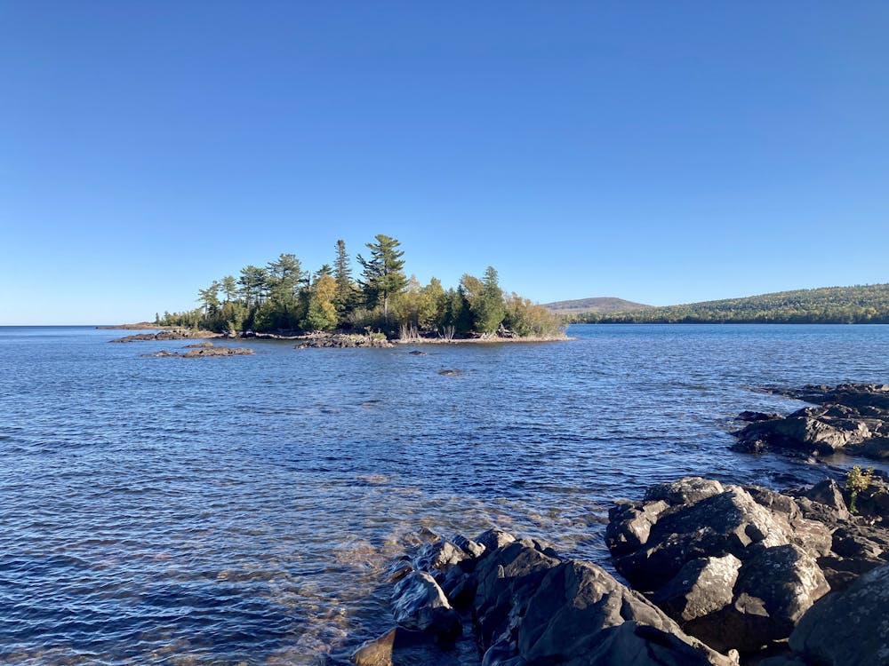
Hunters Point is a quick hike that yields rewarding views instantly! This short peninsula helps separate the harbor that gives the town of Copper Harbor its name from the wide-open waters of Lake Superior. From the south shore, you'll enjoy views of the harbor and town, and from the north shore, views of the planet's largest freshwater lake!
Description
Several poorly-marked trails run up and down the point, but since the peninsula is so narrow, it's impossible to get lost. Some of the trails run on the higher ground through the center of the peninsula. These are a bit easier to negotiate, although they do traverse root webs and some rocks. While the terrain is flat, you do need to watch your footing.
Other portions of the route follow the shoreline itself. Here you'll hike along a pebble beach comprised of rocks that have been washed smooth and round by the continuous wave action of Lake Superior. These pebbles often lie a foot or two deep, making for slow going and soft footing that requires a bit more energy. However, you'll get to enjoy constant views the whole time!
Difficulty
Easy
Walking along a well-kept trail that’s mostly flat. No obstacles are present.
Medium Exposure

The trail contains some obstacles such as outcroppings and rock which could cause injury.
Remoteness

Close to help in case of emergency.
Best time to visit
Features
- Picturesque
- Water features
- Family friendly